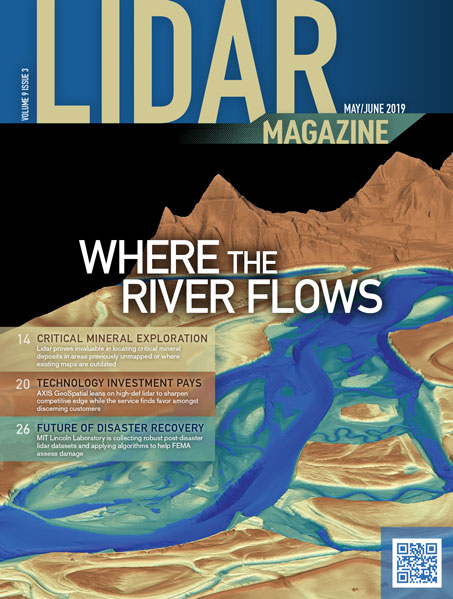
Changes in technology are a frequent occurrence in today’s geospatial services world. Companies utilizing these technologies find themselves striving to stay ahead of…
Volume 9 Issue 3

FEATURES
How Lidar Could Transform Disaster Recovery
MIT Lincoln Laboratory assists FEMA with damage assessment
MIT Lincoln Laboratory is collecting robust post-disaster lidar datasets and applying advanced algorithms to these data to help FEMA assess damage. The technology…
Need Drove Innovation for Solv3D
Use and sharing of geospatial data now made easy
Almost a decade ago, a small, forward-thinking surveying and engineering firm based in Calgary, Alberta began collecting large amounts of laser scanning data…
Lidar Enlightens the Search for Critical Minerals
Using lidar to search for important minerals turns decades of work into a few years.
Meeting the need for critical minerals, increasingly used in the production of a wide range of products in modern society, has never been…
Overcoming Hurdles to Modeling River Bathymetry
Topobathymetric lidar and hyperspectral imaging combine to deliver new, detailed insights into submerged terrain
Modeling the bathymetry of rivers presents significant challenges for GIS professionals, as they try to model submerged terrain with the same accuracy and…
COLUMNS
From the Editor
The Right Place and Time
Perusing the news on one’s phone every morning can be a dispiriting experience, as so many of the constants that have safeguarded those…
Random Points
“Of course it’s better!”
I have been thinking about the adoption curve of drone lidar systems. To us practitioners, the need for lidar on a drone is…
Market Forecast
Lidar Market to Reach USD 10 Billion by 2025
The global lidar market is set to grow from its current market value of more than $1 billion to over $10 billion by…