Figure 1: Log piles modeled with photogrammetry.
I have been thinking about the adoption curve of drone lidar systems. To us practitioners, the need for lidar on a drone is obvious—it is better technology than drone-based photogrammetry under a wide range of circumstances (but not all!). Is this clear, however, to the ultimate recipients of the data produced by these systems? Not yet.
The thing we, as either technology suppliers or service providers, tend to forget is that the recipients of our derived products (say a topographic data set) are often removed from the technology that was used in the collection of the source data. The client wants volumetric numbers that are within 3% of correct. When you ask for the meaning of “correct”, you just get a strange look.
Sometimes you can convince the client with pictures. Clearly the logs imaged with photogrammetry (Figure 1) are inferior to those imaged with lidar (Figure 2). But does the recipient of the feeder stock inventory at the paper mill care? Does she even see these models or is she simply reviewing cubic meters (feet) in an Excel spreadsheet?

Figure 2: Log piles modeled with lidar.
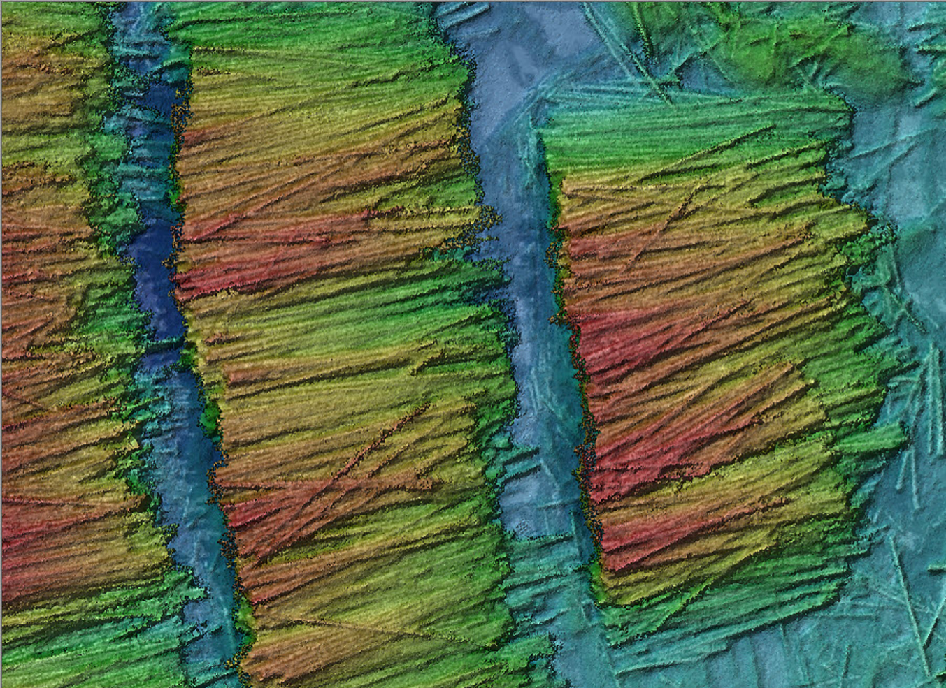
The same applies to topographic mapping. The client requests a raster elevation model (more likely, I have found, a set of topographic contours at a specified interval), not a “lidar” ground model.
We in the American Society for Photogrammetry and Remote Sensing (ASPRS) have long advocated product driven specifications. We would prefer to discuss a 1 meter elevation raster with Root Mean Square Error (RMSE) less than 10 cm rather than specifically require a photogrammetrically derived elevation model. Nevertheless, I am beginning to see that when a technology is new to the market, we really must discuss the merits of the collection system. When all you have is a hammer, everything you encounter is a nail. We see drone service providers who have only a camera system delivering products that could really only be generated with lidar (or ground-based methods such as GNSS survey). This is bad for the industry in a multitude of ways.
Those a bit long in the tooth (such as myself) will recall that airborne lidar did not become the specifically cited collection method for digital flood insurance rating maps because it was better than the then ubiquitous stereo photogrammetry. No, requests for proposals began specifically citing lidar because of the intense lobbying (excuse me, educational) efforts of a few innovative thinkers who were spearheading this new technology. Within a very short period of time, RFPs were calling for lidar elevation models.
An even better example of changing the thinking of an industry is the North American Electric Reliability Corporation (NERC) Recommendation to Industry notice of 7 October 2010 that specifically called out airborne lidar as the recommended technology for collecting the as-built condition of transmission lines. This and other NERC actions resulted in over 500,000 line-miles of transmission line survey contracts being bestowed upon our industry.
The bottom line here is that we must embark on crusades to educate the client base on the need for drone-based lidar solutions. Some of this is easy; just show photogrammetry of overhead wires (they aren’t there!). Other cases such as topographic mapping are much more nuanced and require some comparisons of vertical accuracy, images of missing ground under vegetation and so forth.
The goal is to move the industry to the state where lidar is part of the request. Rather than a request for topographic mapping, the RFP states “… lidar topographic mapping” or some similar phrase that specifically cites drone lidar collection as the methodology. So put on your convincing hat and hit the road!