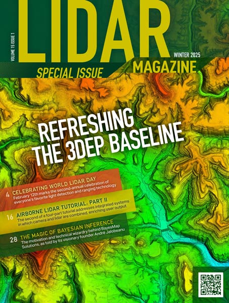
Arkansas teams with Woolpert on ambitious lidar acquisition plan The 3D Elevation Program (3DEP) conducted by the U.S. Geological Survey (USGS) has bolstered…
Volume 15 Issue 1

FEATURES
Airborne Lidar: A Tutorial for 2025
Part II: Integrated Systems
The first part of the tutorial (lidar basics) reviewed the fundamentals of airborne lidar, also referred to as airborne laser scanning (ALS)1. We…
The Magic of Bayes
Niche lidar software supplier celebrates 10th birthday
What makes BayesMap Solutions special? The geospatial community is most rewarded when academic know-how meets engineering realities to provide actionable data that can…
From Water to Air: Terra Brasil Integrates Lidar and Bathymetry Technology
Comparing airborne lidar with bathymetric data: how Terra Brasil uses LP360 for merging, QA/QC, and deliverables Since its establishment in 2009, Terra Brasil…
COLUMNS
From the Editor
Biggest Geo Week Ever
A milestone event for geospatial technologies
Denver provided a bitterly cold destination for Geo Week on 10-12 February 2025. Lows as curmudgeonly as 5°F (-15°C) were insufferable for those…
From the Editor
Celebrating Lidar Worldwide
This issue was released at the Geo Week conference in Denver on 10–12 February. By no coincidence, this year’s event concludes on World…
USIBD Matters
USIBD: A New Chapter for 2025
The Evolution of the Level of Accuracy (LOA) Specification The Level of Accuracy (LOA) Specification, developed by the U.S. Institute of Building Documentation…
Full Coverage
The Case for High Point Density Lidar
Does the economic law of diminishing marginal returns apply to lidar point density? Economics 101 teaches us the law (or principle) of diminishing…
Content To Serve
Three Key Trends Influencing the Geospatial Sector in 2025
AI, cloud computing, and sustainability will redefine how we map and safeguard our planet. We take a first look at each. The geospatial…
DEPARTMENTS
Synopsis of the 18th UF/FL-ASPRS Lidar/Geospatial Workshop
Florida Lidar flies high
The Florida Region of the American Society for Photogrammetry and Remote Sensing (FL-ASPRS) and the University of Florida (UF) Geomatics Division held the…