Editor’s note: For additional discussion with Volkan and Rick, listen to the following podcast: In 2019, Woolpert suggested a novel concept to officials…
Volume 13 Issue 4
December 2023

FEATURES
12.31.2023
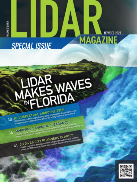
Mapping Florida Waters
Dewberry works with Florida Department of Environmental Protection to map the Gulf Coast of Florida sea floor
Florida boasts the longest coastline of any state in the contiguous U.S., with over 8400 linear miles (NOAA method)1. Florida also has the…
12.31.2023
Multispectral Lidar for Environmental Applications
Finnish Geospatial Research Institute develops systems to explore and analyze critical changes
Lidar typically provides 3D data that facilitates visualization, so that the viewer can interpret geometries and relationships of objects and terrain. Adding color…
12.30.2023
Government, Industry and Academe Advance Florida Lidar
Synopsis of the 14th UF/FL-ASPRS Spring 2023 Lidar Workshop
The Florida Region of the American Society for Photogrammetry and Remote Sensing (FL-ASPRS) and the University of Florida (UF) Geomatics Division continued their…
COLUMNS
From the Editor
12.31.2023
Communications Trifecta
We have become a podcaster!1 Three episodes of The LIDAR Magazine Podcasts have been recorded. These podcasts are sponsored by rapidlasso GmbH2, the…