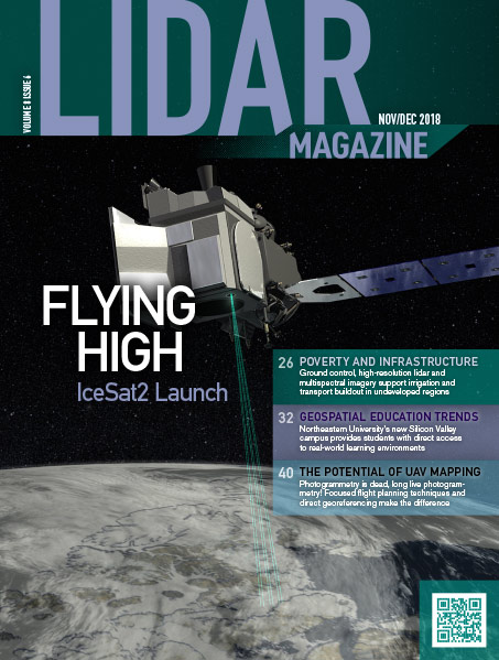
In our July issue, managing editor Stewart Walker gave a lengthy account of the development and status of airborne lidar systems at the…
Volume 8 Issue 6

FEATURES
Challenges and Benefits of Infra-water Lidar Technical Support
Ground control, high-resolution lidar and multispectral imagery provide vital information for irrigation and transportation projects in Niger, one of Africa’s least developed nations.
The Millennium Challenge Corporation (MCC) is an independent, U.S. foreign-aid agency that invests billions of dollars in partnerships with some of the world’s…
What Do Geospatial, Northeastern University and Silicon Valley Have in Common? Lidar
A Look at Lidar Education at Northeastern
Northeastern University (NU) is a top-tier, globally focused, private research university that stresses experiential and lifelong learning. Founded in 1898, it is headquartered…
Realizing the Potential of UAV Photogrammetry and UAV LIDAR Mapping
Flight planning and direct georeferencing make the difference
In his book, Digital Photogrammetry, Prof. Toni Schenk writes that “Photogrammetry and cats share a common, most important trait: both have several lives”1….
COLUMNS
From the Editor
Lidar Flies High
Writing this on board a Lufthansa flight to Germany to participate in the mid-term symposium of ISPRS Technical Commission I, entitled “Innovative Sensing—from…
Random Points
Oh, One More Thing…
For years our company has provided software, consulting services, training and just about everything associated with lidar except the actual hardware. Of course,…
DEPARTMENTS
Points & Pixels
Trimble Inpho Software Suite Extends Photogrammetric Deliverables for Broad Range of Geospatial Applications Two New Capabilities Increase Flexibility for Photogrammetrists Generating Highly Accurate…