
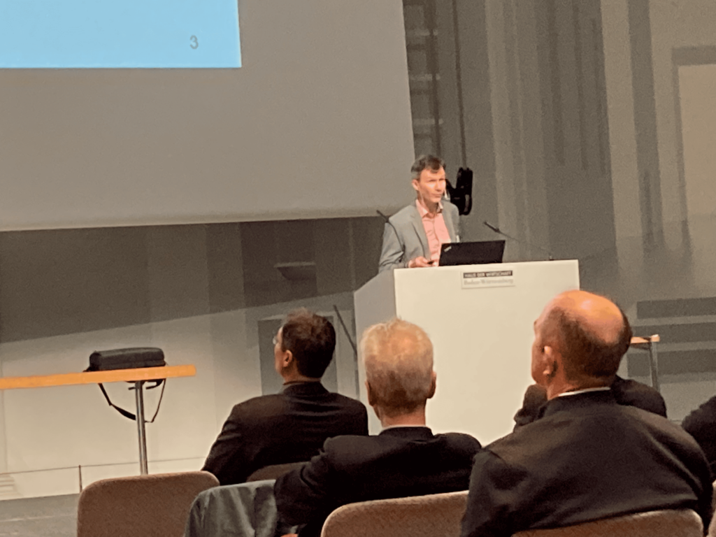
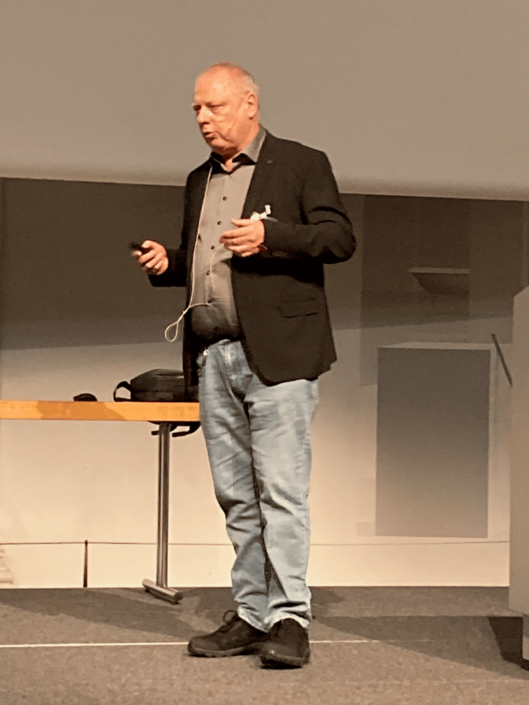
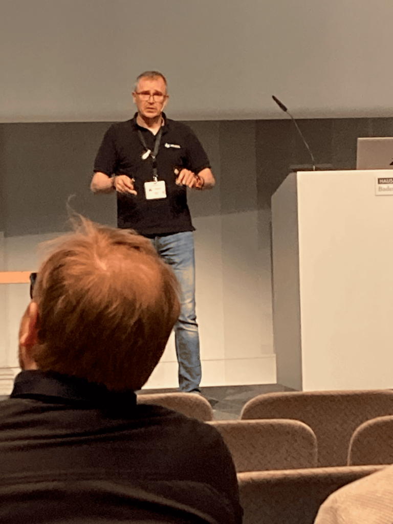
Professor Uwe Sörgel, chair of the Institut für Photogrammetrie at the University of Stuttgart, opens the 59th Photogrammetric Week.
Readers of this journal know the Photogrammetric Week (Photogrammetrische Woche – PhoWo) and its 116-year history (Fritsch, 2005). The 59th one attracted 212 participants, in line with 2022 numbers but well below those of the event’s heyday. Conference chair Uwe Sörgel (U Stuttgart) commented that the proportion of attendees from Europe had increased, whereas delegates from China and USA were worryingly few.
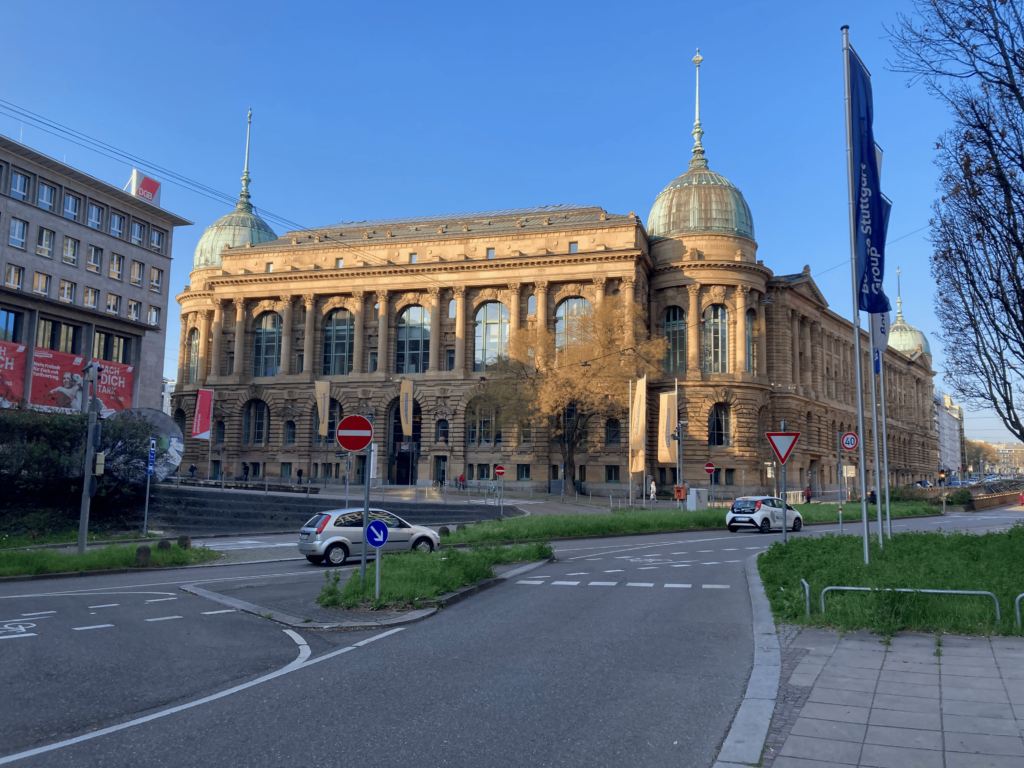
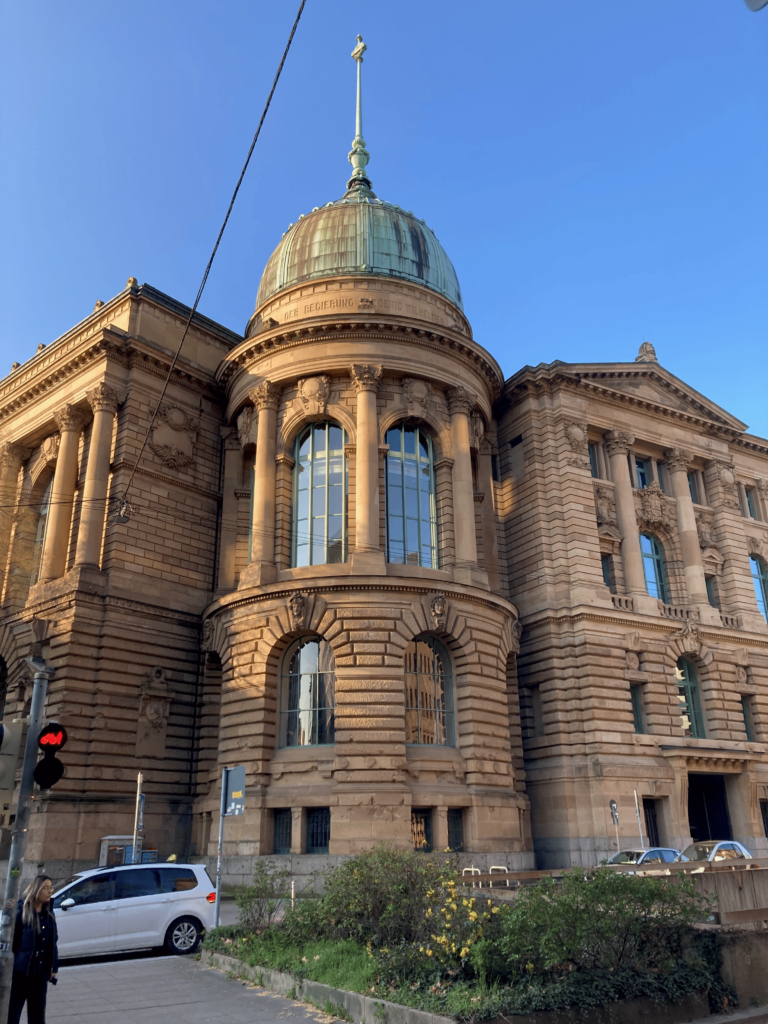
The 59th Photogrammetric Week was held in the historic Haus der Wirtschaft, built in 1889-96 in elegant neo-baroque style.
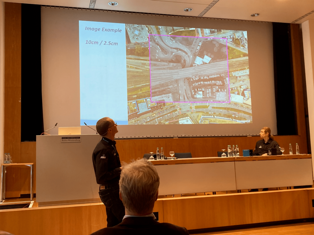
The venue was the elegant Haus der Wirtschaft Baden-Württemberg on Willli-Bleicher-Strasse. The format was the same as in 2022: in the mornings lectures – invited speakers giving reviews of the state-of-the-art in their respective fields and short addresses by representatives of the system suppliers, the “OpenPhoWo Partners”; in the afternoons, demonstrations by the suppliers: Vexcel Imaging and IGI (Tuesday), Leica Geosystems and RIEGL (Wednesday), Trimble and Esri (Thursday).
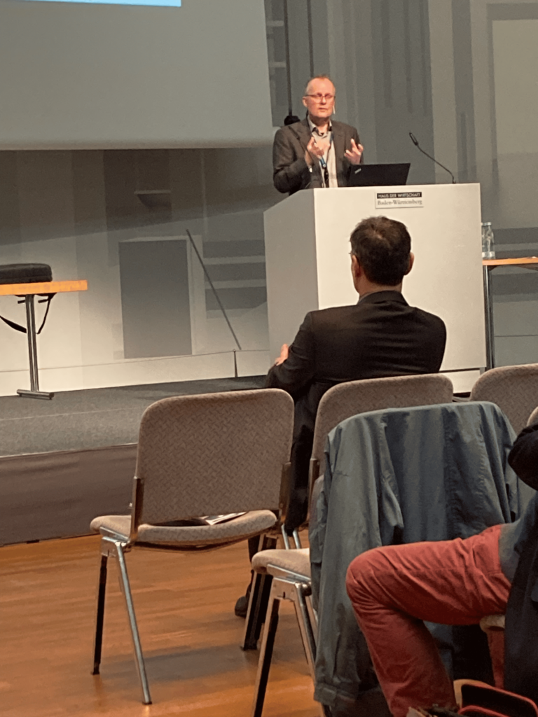
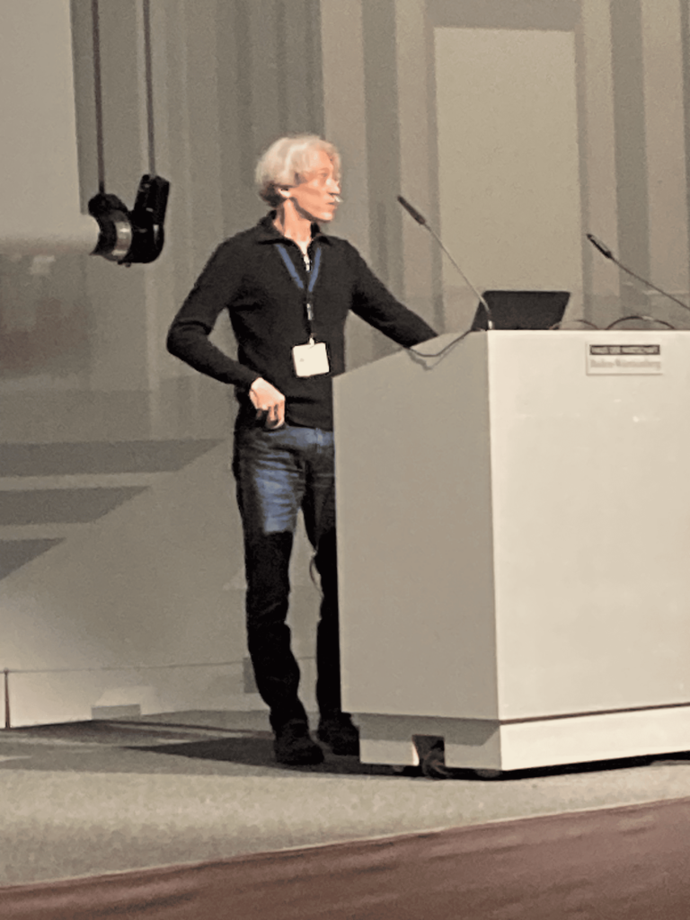
A sample of the dazzling speakers who made this Photogrammetric Week so memorable. From top to bottom, Charles Toth, Gottfried Mandlburger, Michael Cramer, Konrad Schindler, Fabio Remondino, Jonas Bostelmann, Christoph Strecha, Eija Honkavaara, Jun Zhang, Dieter Schmalsteg and Volker Walter. Sörgel is moderating the several questions from the audience after Remondino’s address.
The opening session was spearheaded by Charles Toth (The Ohio State University) with a magisterial overview of sensor georeferencing. He and other participants were surprised that two of his topics – jamming and spoofing – were mentioned by several other speakers. Further memorable presentations followed from Gottfried Mandlburger (T U Vienna) on airborne and spaceborne lidar, and Oliver Lang (Airbus) on operational SAR. Lang reminded us that we have enjoyed 33 years of InSAR analysis.
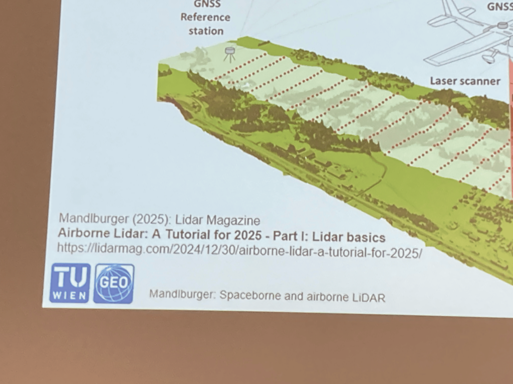
LIDAR Magazine was cited on several of Mandlburger’s slides!
After the break, Michael Cramer (U Stuttgart) discussed large-format airborne cameras, concentrating on nadir rather than oblique imagery, but his presentation was little more than a fine overview, because he had not received permission to publish results of recent tests by Arbeitsgemeinschaft der Vermessungsverwaltungen der Länder der Bundesrepublik Deutschland (AdV), the Working Committee of the Surveying Authorities of the German Länder. These should be available now.
Roland Stengele (BSF Swissphoto) spoke as vice president of EAASI (European Association of Aerial Surveying Industries) with a somewhat depressing view. Despite wonderful technology, BSF’s revenues are growing slowly while its profits and staff decrease. Risks are high, while margins and investment are low. European companies recognized the success of MAPPS (Management Association of Private Photogrammetric Surveyors) in North America and formed EAASI to have a stronger voice and a vehicle to address the problems. One of the challenges is air traffic control. Another is UAVs. The ensuing discussion was worthwhile but ran out of time.
Tuesday began with the sort of virtuoso performance we all aspire to give – informative, witty, absorbing. Konrad Schindler (ETH Zürich) addressed “3D vision with only one eye – the silent revolution of monocular depth reconstruction.” The previous day, Stengele had said that BSF was down to two photogrammetrists. A delegate was heard to suggest that it will need only one if Schindler has read the trends correctly! Schindler did not disparage stereoscopy, but reassured sceptics in the audience with the remark, “Close one eye and the world doesn’t become flat.” Citing a massive body of literature, he traced developments and expanded on the central role of AI. Arguably, this all belongs in computer vision rather than photogrammetry, but the latter can only benefit from the former.
Occupying the podium after this amazing presentation was daunting, but Fabio Remondino (Fondazione Bruno Kessler, Italy) did not disappoint. His tour de force helped the rapt audience understand the roles of AI in several photogrammetric operations, such as image matching, feature detection, point-cloud classification and semantic segmentation. His conclusion that AI methods represent a complementaritiy with traditional geometric methods was a reassuring perspective.
The third speaker, Markus Ulrich (Karlsruhe Institute of Technology), was incredible too. All photogrammetrists are introduced to the rudiments of optics and some of us have explored telecentric lenses, as used, for example, in the Leica ADS40 and its successors, but this didn’t prepare us for Ulrich’s description of hypercentric and entrocentric lenses and their remarkable properties, such as negative focal lengths. The applications were no less fascinating, for example machine vision and robot calibration.
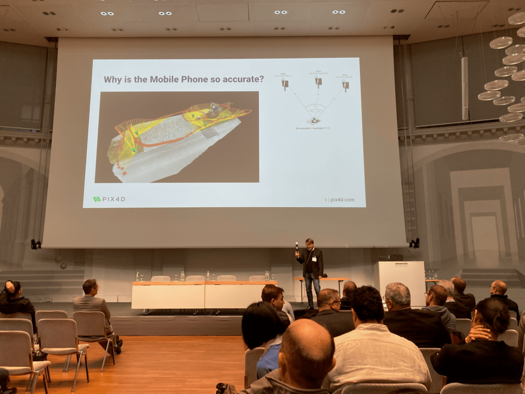
The audience streamed out for the coffee break, rendered almost speechless by these three masterpieces. In earlier years, symposiasts probably felt similar after hearing Pulfrich or von Gruber! The presentations after the break were more practical and were warmly received. Jonas Bostelmann (Landesamt für Geoinformation und Landesvermessung Niedersachsen, Hannover) talked about AI-derived building detection in an operational system for cadastral update in Lower Saxony. He accepted that development and operation of a geoAI product are complex, but asserted that the vast increase in productivity justifies the cost. Moreover, the product is available nationwide as SaaS. Christoph Strecha (Pix4D, Switzerland) proselytized the use of mobile phones and photogrammetry for surveying – such a low-cost system works! The driver behind his efforts was the introduction by Apple of a lidar sensor in the iPhone, using the same Sony technology as the Leica BLK2GO.
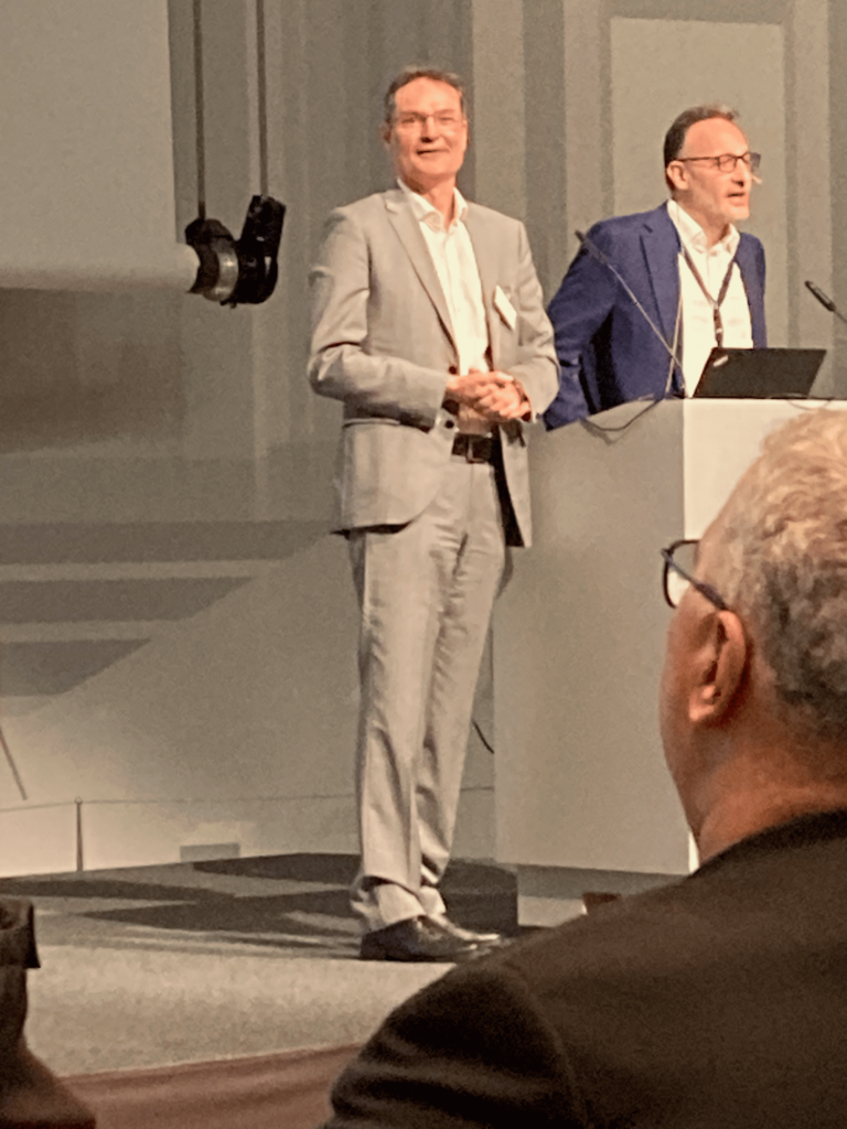
Klaus Neumann of Leica Geosystems presented the Carl Pulfrich Award to two eminent, productive researchers, Fabio Remondino and Derek Lichti (University of Calgary). Renowned and active globally, both have pushed our science forward, published profusely and taught the subject effectively. Derek, of course, is the ISPRS Congress Director, orchestrating the July 2026 meeting in Toronto.
Anthony Stein (U Hohenheim, yet another beacon of higher learning in Stuttgart) gave a review of AI-based computer vision in agriculture to begin Thursday’s sessions. The combination of GeoAI and machine vision offers useful capabilities – a theme that earlier speakers had followed in different contexts. Agriculture still depends on manual operations and decisions by farmers, but the power of AI will enable them to spend more time on management tasks. Weed detection and precision application of herbicides is one example, but the applications are not restricted to arable farming: automated monitoring of livestock is a boon. Current work on soil assessment is encouraging.
Philipp Schneider left the world of SAR to join SAM-Dimension, a Stuttgart start-up. The company’s expertise is weed science and it has developed a specialized, 6-camera rig on a heavy-lift UAV for soil analysis at very high resolutions. The output is a spot-spray map provided to farmers in formats readable by various sprayers. Savings on herbicides are as much as 95%. An edge-AI computer is used for pre-processing of images in the air. In 2024, SAM-Dimension flew continuously and took 3,750,000 photos!
Eija Honkavaara (National Land Survey, Finland) is a familiar figure at PhoWo and her topic was autonomous use of UAV technologies for forestry. NLS is now working on its third generation of UAV use and she gave a wide-ranging review of both the technologies and the applications, such as pest and disease management. The platforms – Kelluu airship flying BVLOS, Robodrone, drone in a box – are innovative and productive.
Jun Zhang (TU Graz) told us what would happen when SLAM meets neural radiance fields (NeRFs). He began with a brief history of SLAM, ending with ongoing work on NeRF-based variants for joint optimization of cameras poses and explicit scene parameters.
Thursday’s invited presentations ended with yet another expert overview from an acknowledged authority – George Vosselman (U Twente, Netherlands) on deep learning-based point-cloud classification and change detection. The primary trigger for such work was flood risk assessment, but landslide risks, forestry monitoring, urban planning, noise and air pollution, telecoms and land-use mapping also benefit. The increasing availability of nationwide, lidar-derived elevation data is another driver. Some automated classifications, however, are insufficiently accurate, resulting in enormous manual editing, often through off-shoring. Vosselman drew on numerous published papers, but asked fundamental, critical questions, such as “What is ground,” “What is water,” “What do you want,” which dramatically underlined the sheer complexity of the problem.
Friday’s topics were disparate and fascinating. Dieter Schmalsteg (Visualization Research Centre, U Stuttgart) reviewed augmented reality (AR) for spatial human-computer interaction. He started with questions designed to ensure the audience’s attention – what if you replace your €3000 Macbook with €3000 AR glasses, or what if lightweight glasses replace phones in a few years? After examining the duration of major IT developments – GUIs, mobile phones, touchscreens and AR – he investigated the challenges, for example, “world anchors”, before describing applications, such as subsurface utility models. The killer app for AR may be intelligent instructions to people – forget spatial computing, enjoy situated computing.
“Forensic 3D – from crime scene documentation to court visualization” was presented by Till Sieberth (Jade Hochshule, Oldenburg). His descriptions of the technologies (note that optical scanning is healthier than CT scanning) and the use of VR for attorneys, eyewitnesses and in the court were captivating.
Erica Nocerino (U Sassari, Italy) covered some of the issues in underwater photogrammetry, such as turbidity, scattering, backscattering, loss of color, and diurnal variations in refraction at the water surface. Her work on the creation of tools both to educate and assist photogrammetrists working in this environment are invaluable.
The final session featured two well known speakers. Volker Walter (U Stuttgart) looked at extracting the optimum – in terms of both accuracy and economics – polygon from data extracted from images by paid crowdworkers. He cited the principle of the wisdom of crowds. Crowdworkers volunteer for multiple reasons, but typically there must be compensation. His example of polygons round a tree was enthralling: how many polygons are needed to generate a decent estimate and how should they be combined? Walter engaged us by describing work by century statistician Sir Francis Galton, who analyzed 800 attempts in a “guess the weight of the ox” at a farmer’s market in 1807.
Finally, Franz Rottensteiner (Leibniz Universität Hannover) brought proceedings to an end with a charming presentation about the use of deep learning for the classification and retrieval of images of silk fabrics, joint work with Mareike Dorozynski. The work was performed for the SILKNOW project, which is partially funded by the EU. The development of a knowledge graph and the use of a neural network to process database queries were two aspects of the award-winning project.
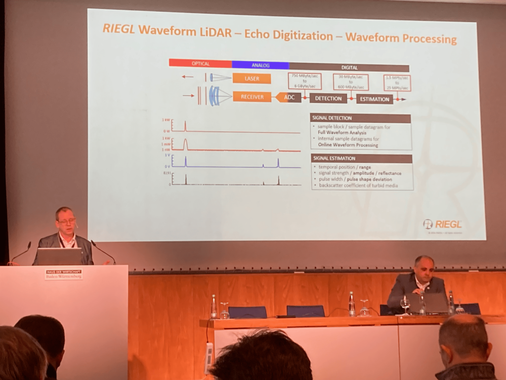
The demonstrations, too, were full of interest. From left to right, Jens Kremer explains IGI’s product range, Peter Rieger goes into detail about RIEGLS’ full-waveform processing, and Uwe Bacher examines aspects of Hexagon Geosystems’ airborne sensors.
The presentations and demonstrations left this reviewer with two lasting impressions. The reviews by the invited speakers were splendid, surpassing even PhoWo’s very high standards. Schindler and Toth were stunning in range and their expertise left us all feeling rather humble! Secondly, in the afternoons the suppliers did not give straightforward accounts of the merits of their products, but tried to go into depth on some theme, in order to whet the appetite of the expert audience. IGI was an exemplar – Dmitri Presnov described the company’s work on SLAM – and RIEGL was another – Harald Teufelsbauer homed in on the cameras in the various mobile mapping systems that RIEGL offers, whereas Peter Rieger talked about the company’s software and data structures. Vexcel Imaging, however, brought real news: the day before PhoWo, the company had launched its latest camera, the UltraCam Osprey 4.2, which generates 476-megapixel images through the use of 247-megapixel Sony AMX 811 CMOS sensors. The subtleties of this new camera mirrored Michael Cramer’s excitement about the persistent development of airborne digital cameras over more than two decades. It was evident that the use of AI is diffusing through products currently on the market – it is operational, yet evolving. Konrad Wenzel’s presentation on behalf of Esri brought digital twins to the fore and one of the videos generated using his SURE software was spectacular. Esri’s ArcGIS Reality Engine and ArcGIS Reality Studio both come from Stuttgart and Gaussian splatting will be released soon. Trimble’s RealRay technology, which appeared to revisit and update atmospheric and earth curvature corrections, was a stimulus to lively discussions amongst top photogrammetrists!
The technical trends behind many of the presentations included AI, often combined with machine vision, reconstruction from single photos, risks to GNSS, and continual, impressive improvements to off-the-shelf products. Uwe Bacher, for example, emphasized the advantages of Leica Geosystems’ hybrid airborne sensors, such as the new Leica CoastalMapper, but hinted that a new single-photon lidar system is in preparation.


Uwe Sörgel and Norbert Haala shared moderation duties in a low-key effective fashion, backed up by Michael Cramer – his passion for local history bursting through – on housekeeping and Markus Englich on IT. Other Stuttgart folk handled registration and AV. This unassuming team is a pleasure to interact with and runs a smooth conference. The social events – in-house icebreaker on the first day and conference dinner at the gorgeous Bad Canstatt Kursaal were enjoyable networking opportunities. Even the Stuttgart weather cooperated with bright sunshine and warmth, tempting delighted throngs to the Schlossplatz.
The tuning of the event by Uwe Sörgel, i.e. the preference for the Haus der Wirtschaft over the University’s 1960s brutalist towers on Keplerstrasse, the reduction from four and half days to three and a half, the reduction of the suppliers’ demonstrations from daily repetitions to only two – one in English and one in German – and the cessation of the reception at the town hall, has been accepted and, indeed, has given the event more focus.
The 59th PhoWo, therefore, was a success, highlighted by exceptional presentations by invited speakers; short, informal presentations and intriguing demonstrations by the suppliers; and the presentation of the Carl Pülfrich Award to two popular professors. The venue and social program provided a fitting backdrop. What a pity that more photogrammetrists could not attend. The lack of geographical spread was perturbing. All the invited speakers except three were from Germany, Austria, Switzerland and Italy. Only two were female. Yet, could we have wished for a more talented dramatis personae? The 60th PhoWo will take place in the first half of April 2027 and we can be certain that the Institut für Photogrammetrie of the University of Stuttgart will ably implement the successful formula, while seeking ways to attract a larger audience. By then Englich, the quiet mainstay of PhoWo for so many years, will have retired, so it was fitting that Sörgel ended proceedings with a presentation to him.
Acknowledgement
This report was written in response to an invitation extended by Dr. Michael Cramer on behalf of Deutsche Gesellschaft für Photogrammetric und Fernerkundung, the German professional society in the fields of photogrammetry and remote sensing. It will be published in volume 93, issue 3 of DGPF’s official journal, PFG – Journal of Photogrammetry, Remote Sensing and Geoinformation Science. The author is extremely grateful to DGPF and the organizers of the Photogrammetric Week. The photographs are not part of the report written for DGPF and are the author’s own. Conference chair Uwe Sorgel has been featured in LIDAR Magazine and co-chair Norbert Haala has published a paper together with Stuttgart co-authors.
Fritsch, D., 2005. The Photogrammetric Week series – a centennial success story, Fritsch, D. (ed.), Photogrammetric Week ’05, Wichmann, Heidelberg, 346 pp: 3-12.
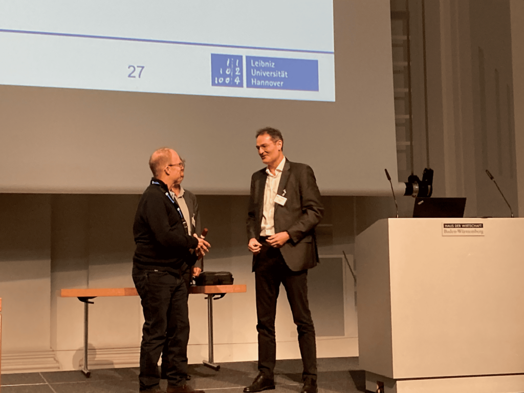
During the closing ceremony, Sörgel made a presentation to Stuttgart stalwart Markus Englich, who has been the force behind the Photogrammetric Week for many years.