Lidar is a major source of geographic information, yet its voluminous data sets and their characteristics, which are different from those of image…
Volume 10 Issue 2

FEATURES
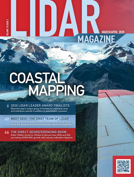
Addressing Dire Coastal Mapping Needs on The Last Frontier
JALBTCX team acquires data critical to communities
The U.S. has more than 95,000 miles of coastline1, and its effective management is vital to the economy, environment and safety of the…
Ready Willing Able: The SWAT Team of Lidar
In 2009, a client request for high-resolution video of an electrical transmission circuit drove this group of aerial cinematography experts to consider and…
UAVs and AVs Fuel Direct Georeferencing Boom
Applanix retains GNSS/IMU leadership
Taking advantage of travel to Toronto, Ontario, Canada for a meeting of the Council of the International Society for Photogrammetry and Remote Sensing,…
COLUMNS
Thought Leader
A Billion Points of Light
Exploring the world with aerial cinema, lidar, and images
When GEO1 interviews potential team members, one of the first questions we ask is how the candidate discovered their passion for the geospatial…
From the Editor
This Won’t Be the LASt time…
The workings of international standards
Is it really 55 years since the Stones released the song whose title I have massacred above? Following my recent scribbles on the…
From the Editor
HSRP suggests bright future for bathymetric/topographic lidar
Qassim Abdullah gets his feet wet
On 28 April I attended a virtual meeting, more than three hours long, of the NOAA Hydrographic Services Review Panel (HSRP). Members were…
From the Editor
Abroad thoughts from home
I hope Robert Browning will forgive me mutilating his title, but at least it is April and many of us are yearning to…
From the Editor
Emeritus Professor Gordon Petrie
Eminent teacher and researcher of photogrammetry and lidar passes
It is with great sadness I report the death of my mentor and professor, Gordon Petrie, on 4 April 2020, in Glasgow, Scotland….
Quick Takes
Lidar and GIS grow closer together
Riegl RiMAP Add-In smooths the data flow from Lidar scanner to Esri’s ArcGIS Platform
Lidar is a major source of geographic information, yet its voluminous data sets and their characteristics, which are different from those of image…
From the Editor
To Have and to Hold
Geo Week 2020 Postponed
Our March/April edition has much to do with the Geo Week 2020 series of conferences, originally slated for March 22-26 in Washington D.C….
Thought Leader
Finding the Value in Our Forests
We’re racking up a huge ecological debt due to mass deforestation. The Earth is losing rainforests at a rate of 30 football fields…
Thought Leader
The Role for Lidar in Lunar Exploration and Beyond
NASA is returning to the Moon with the Artemis Program. By 2024, NASA has been directed to land the first woman and the…
Random Points
Accuracy Isn’t One Dimensional
We have built dozens of True View 410 3D imaging Systems (3DiS) for sUAS over the past several months. With each unit, we…