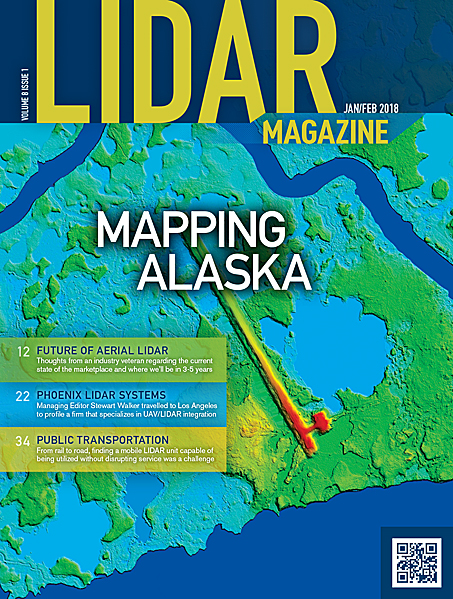
In conjunction with the first ever co-location of the American Society of Photogrammetry and Remote Sensing (ASPRS) Annual Conference and the International LIDAR…
Volume 8 Issue 1

FEATURES
GeoTech Insider: Patrick Cunningham, Blue Marble Geographics
Patrick Cunningham is the President of Blue Marble Geographics, Hallowell Maine. Cunningham offers nearly two decades of experience in software development, marketing, sales,…
Future Vision: The Future of Aerial Lidar and Emerging Technologies
Lidar, which can generate up to 10 million pulses per second or more, creates a dense terrain model of unmatched accuracy when compared…
Keeping The Threat At Bay: Mapping the Alaska Coastline
The expanse and mystery of Alaska are part of its allure, from its rugged terrain to extreme weather to incredible wildlife. But these…
Phoenix Lidar Systems: Excellence in UAV Integration
Phoenix Lidar Systems: Excellence in UAV Integration
Managing Editor Stewart Walker met with Phoenix LiDAR in their Los Angeles office, profiling a young company that leads the market in the…
American Trail Blazers in New Mobile Mapping Technology
With all the new emerging technologies, established companies using traditional methods must explore ways to remain competitive. Most of us are familiar with…
From Rail to Road: Mobile Lidar Applications in Public Transportation
For the San Diego Metropolitan Transit System (MTS), mobile mapping has made a significant impact on day-to-day operations. Between their light rail and…
Static LiDAR as a Tool in Survey Related Projects
The surveying technology is constantly evolving with improvements in ground based collection techniques. Tripod mounted static LiDAR has become another tool in the…
Can Advancements in Mobile LiDAR Combat the Trend for DIY Surveys?
From smartphone apps for 3D mapping, to UAV photogrammetry, surveying technology just hit the mainstream. It’s never been easier for individuals to inspect,…
COLUMNS
From the Editor
From the Editor: A Furtherance of Achievements
I wish readers a successful and fulfilling 2018. What better way to start the year than the International LIDAR Mapping Forum (ILMF) in…
Random Points
Yes, Virginia, You Can Accurately Map With a Drone!
Wow, can you believe it is 2018? I completely lost 2017! Anyway, the best of success in the New Year! I read article…