After shepherding nine generations of airborne topographic lidar systems, three generations of hybrid imaging/lidar and one airborne imaging sensor, Ron Roth has departed Leica Geosystems/Hexagon and is seeking new opportunities.
Ron’s whole career has been in electro-optics and we featured him in the June/July 2018 issue, including the front cover[1]. Ron has been generous enough to furnish me with a copy of his farewell speech, given at a leaving event in Switzerland (see photo). Suffice it to say here that after some early-career moves, Ron became a co-founder of Azimuth Corporation, which, by 1998, was assembling it very first fully-integrated airborne lidar system in a small facility in Westford, Massachusetts. 23 years ago, Azimuth became part of LH systems and then, in turn, part of Leica Geosystems. Together with new colleagues in Heerbrugg, they successfully helped business development staff to sell the systems, enabled customers to use them, and showed the Support staff how to provide training and repair services. Lidar production was moved from Westford to Heerbrugg, and the engineers started sharing technology and subsystems between imaging and lidar products, including operator and pilot interface hardware, stabilization systems and, ultimately the mission planning, execution and processing software. Over this period of time, there was increasing collaboration, ultimately resulting in “standing up” a lidar development capability in Heerbrugg that includes a deep understanding of both linear-mode and single-photon technology.
This transition in lidar development ran more or less in parallel with the existing imaging system development capability. Each product line, imaging and lidar, ran as a somewhat independent business, each with its own product manager. A subtle change started occurred, however, during the last 10 years. During that time, products such as CityMapper were introduced, in which the characteristics and attributes of each component, imaging and lidar, must be considered together in order to ensure that not only a single hybrid sensor is an optimal solution, but that the entire portfolio of hybrid sensors is optimal, based on the selected module designs. This forces a change in the way the sensor business is structured: instead of lidar and imaging being run as somewhat separate businesses, the trend is to try to create a more centralized model. Ron, therefore, is moving on…
Readers who don’t know Ron well may be surprised at the subheading of this section and, indeed, why Ron’s nickname has always been “The Plinth”. There were two reasons for this. One was Ron’s ability to construct, in his home workshop, exquisite wooden plinths on which to set the systems for display at tradeshows. The second was Ron’s predilection for British radio and TV humor, especially Monty Python’s Flying Circus. The word “plinth” took center-stage on several occasions, once in juxtaposition with “theodolite”. Similar undergraduate humor led to my question on the podcast with Ron about the number of garden sheds in his new home in Annapolis, Maryland.
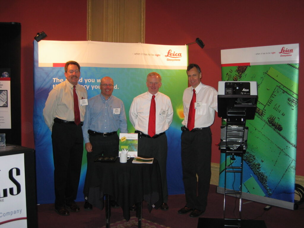
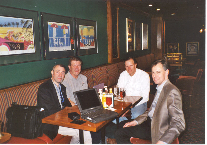
As well as providing photographs for this post, Ron did a count of his attendance at various events and the presentations he made there. It’s a grand total of 226 presentations at 118 events. Not a lot of people know that…
[1] Walker, A.S., 2018. Ron Roth helps steer single-photon, LIDAR Magazine, 8(4): 18-27, June/July 2018.