Before writing these lines, I logged on to a Zoom call hosted by the British Cartographic Society (BCS), of which I am a member. They run a series of “Teatime Talks” – remember that they are seven or eight hours ahead of California. Today’s was entitled, “The UK National Report 2023: our expanding geospatial world”. BCS is the UK member of the International Cartographic Association and every four years is requested to submit a report on the status of cartography in the UK. The presenters, all seated in comfortable looking, booklined studies, explained how they had collected and collated information for the report. Interestingly, they started with what the contributing organizations do with social media. Then a most interesting insight emerged. The authors noted that early this century, i.e. five reports before the current one, the geospatial industry in the UK, which had undergone the GIS and GPS revolutions, the advent of digital photogrammetry, etc., was still very siloed. Today, the lines between the different geospatial disciplines have become fainter and there is much more overlap. One of the presenters gave a useful, modern example of this. He had taken part in a project that used UAV-lidar and culminated in the delivery to the client of various products, including cartographic ones. The project was conducted by one of the UK’s commercial geospatial services companies, which, according to the author, was practicing “the full panoply of geospatial.” Our world of lidar, therefore, is part of an increasingly integrated collection of geospatial services. That’s how it should be.
The Esri Partner Conference and Developer Summit took place, as usual, in Palm Springs, California. They attracted their highest ever attendance, of more than 3700 between the two events, from more than 50 countries, plus thousands more online. Attendees quickly learned that even Palm Springs has winter and the evening networking events were decidedly chilly, though the enthusiastic networking went a long way to counteract this. Jack made a cameo appearance at the podium to welcome attendees to the 18th Developer Summit, then turned things over to his visibly talented people, such as David Cardella, group product manager – developer technologies, who led the opening plenary. The plenaries followed the usual Esri formula of a vivacious MC weaving the strands together and inviting specialists to add detail in short presentations and demonstrations. Before going backstage, however, Jack made comments similar to those that struck me during his plenary at the Geo Week in Denver: “At this particular point in the history of civilization things are getting a little dicey. We need technical solutions, common solutions for this troubled world. History is going to judge all of us based on our success – so we take this work seriously.” Elegantly phrased, profoundly disturbing…
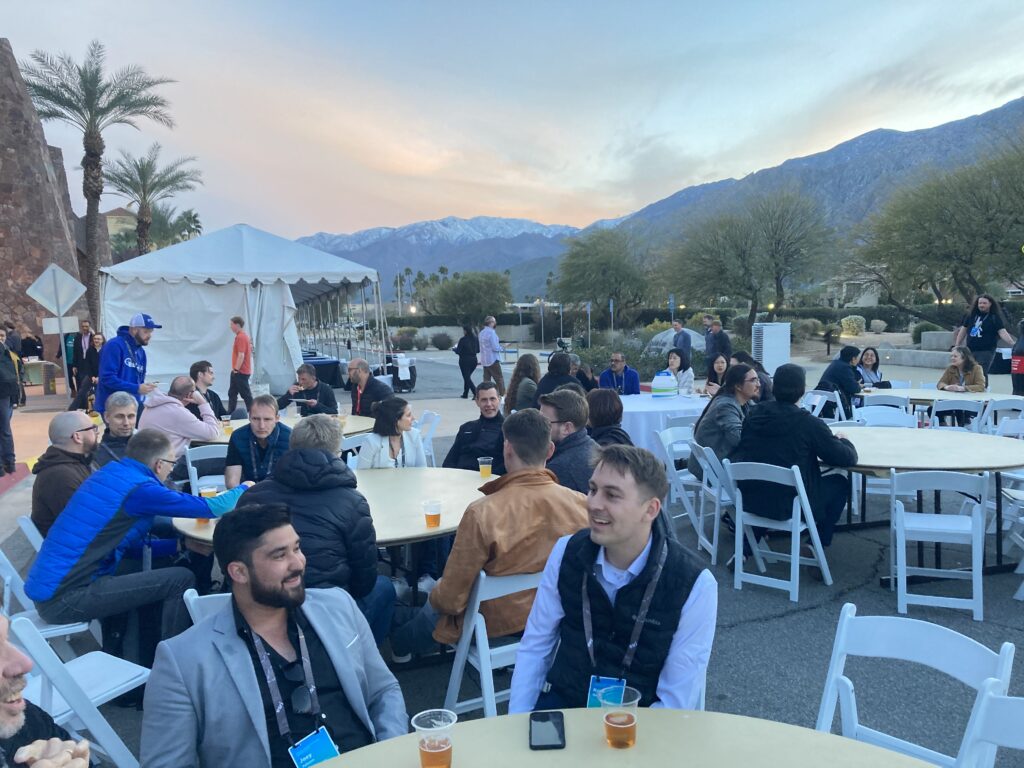
Developers and customers enjoy an evening social event outside the Palm Springs Convention Center. Note the snow on the San Jacinto mountains to the southwest.
In the first few minutes, David rattled off characteristics and capabilities of the ArcGIS System and the list left listeners in no doubt about the enormous scope: desktop software, Living Atlas data, enterprise software, SaaS, PaaS; “customers see multiple products, developers see a set of capabilities”; templates, SDKs (including the new Swift and Kotlin ones), no-code and low-code builders, client APIs (lots of them), lots of new APIs, e.g. automation APIs, Pro SDK, Python API, Styles API; a new design system called Calcite, which Esri itself uses; modern developer technology, rearchitected over last few years; Kubernetes to optimize scalability and resiliency; Arcade, a homegrown scripting language; lots of new Vector Basemaps; Places service; and many more.
Sud Menon, director, software product development, gave a masterly presentation, “The ArcGIS 2023 System and Platform.” He was fast, absolutely on top of his topic, challenging the audience to keep up with him. I wish I could give presentations like that! Both David and Sud have been with Esri for decades. During one of the breaks, I asked some attendees what makes Esri special, what is the unique formula that makes the company different. Sure, it’s wholly owned by the charismatic, likeable founder and his wife; it has no debt; it’s growing fast; it devotes a large slice of annual revenue to R&D; it’s very international in outlook. These are well known, but what else is there? There’s conscientious attention to customers, whose feedback is meticulously used to guide product development. Where else would the audience noisily applaud the announcement of some small software tweak, for example when MohanRaj Balumui, senior software development engineer, superimposed a 1941 map of Washington DC on to a satellite image and blended it in with a few clicks? There are the beautifully orchestrated events. I failed to answer my own question in the depth I wanted, but my interlocutors were unanimous about one aspect: Esri’s staff. It was very obvious from watching the presentations of a stream of developers that the company is blessed with a multinational, supremely talented workforce from all sorts of backgrounds, many of whom have been with the company for a very long time. There was a short video to open the second day, featuring developers talking about their work. These people are Esri, they make it grow, they make it appeal to its customers.
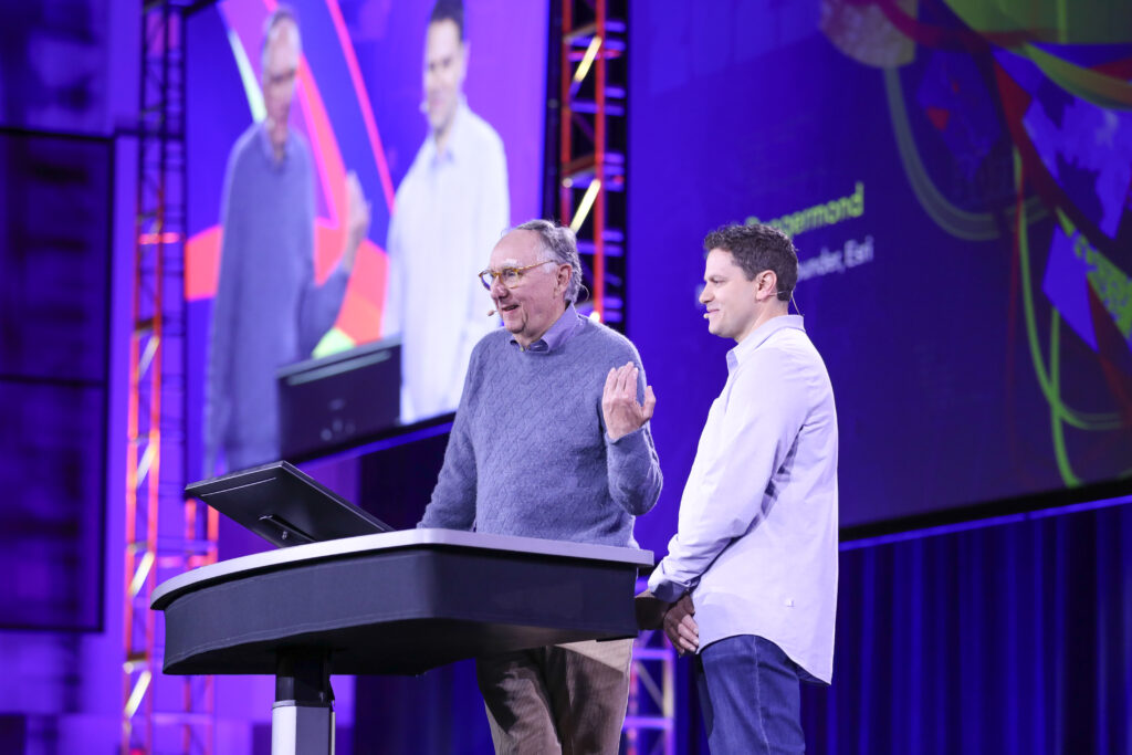
Jack says hello!
There’s copious details on the agenda and the presentations, plus extensive video coverage on the Esri website, so let it suffice here to mention some parts that made an impression.
A session led by Euan Cameron, chief technology officer, developer technology, on open-source mapping libraries, addressed a key topic rather well. Euan is another Esri veteran whom we’ve had the privilege of hearing multiple times at Esri events.
Late on the first day I joined a brilliant break-out, “Big data real use cases stories,” by Alex Almond, software developer, and Mansour Raad, global chief technologist. Both speakers persuasively showed how problems involving massive volumes of data can be rapidly solved in ArcGIS. Mansour’s humorous, brief but spectacular take on how to do it, with live comparisons of times for various processes, both on and off GPU, was worth the trip to Palm Springs on its own. Though very much a 2023 presentation for a 2023 audience, it reminded me of youthful experiments 50 years when we wrote Fortran code to solve systems of linear equations or invert matrices as fast as we could. I’m not entirely sure what Mansour meant, but I loved his axiom, “Early optimization is the root of all evil!”
On the second morning, there were presentations on spatial analytics and GeoAI, which transforms imagery into intelligence with geospatial AI and advanced image analysis. It “lives at the intersection of AI and spatial analysis.” Vinay Viswambharan, principal product manager, talked about GeoAI and deep learning models, for example for extracting stop lights from point clouds or identifying vegetation encroachment on power lines. The ease with which these models, despite their formidable underlying complexity and mathematics, can be exploited is hard to accept, but there it was, for all to see!
I have watched with interest the integration into Esri of the Stuttgart start-up nFrames. Its SURE product was featured in Sud Menon’s presentation: it is now part of a much bigger photogrammetric offering called ArcGIS Reality. There was also a strong break-out by Thomas Zwoelfer, formerly nFrames CTO and now, mutatis mutandis, CTO at Esri R&D Center Stuttgart. His topic was, “Integrated mesh production at scale.” I always enjoy SURE presentations – not only are they invariably of high quality, but they show the glorious 3D views and fly-throughs that can be accomplished by modern photogrammetry at its very best.
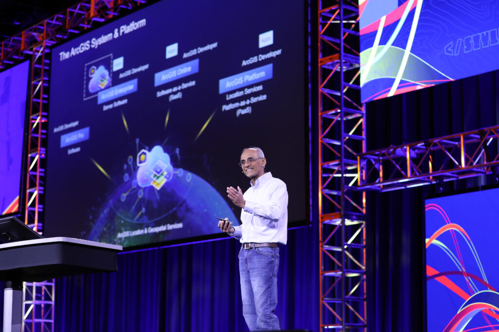
Sud Menon is fully cry. This is how to give a presentation!
I commented in an earlier post on the superb ICEYE presentation at INTERGEO in Essen, Germany last October, so am pleased to report that the company is a winner of an Esri Partner Award, announced on a giant display in the main lobby between the conference rooms.
Although the Developer Summit is aimed at developers and power users of Esri software, there’s far, far more to it than fulfillment for geeks. The use cases invoked to illustrate the latest software features are valuable as a snapshot of what can really be done with GIS. It’s a way to meet interesting people, who may be persuaded to write articles for this magazine! It’s a belvedere from which to view the latest geospatial trends. And it’s intriguing to see how Esri’s acquisitions are absorbed into the company’s culture and daily business.