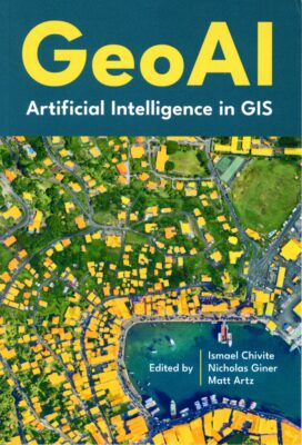
 GeoAI: Artificial Intelligence in GIS. Edited by Ismael Chivite, Nicholas Giner and Matt Artz. Esri Press, Redlands, California, 2025. 204 x 139 mm, xi + 109 pp, 29 color graphics. Paperback, ISBN 978-1-58948-844-1, $39.99 from Esri Press or Amazon in US. Kindle version also available.
This slim volume is a collection of short pieces previously published in Esri publications, such as ArcNews and WhereNext Magazine, blogs and websites, supported by short introductory narratives. The main purpose is to provide ArcGIS users with advice on how to make use of GeoAI, but much content is of value to a wider audience. The editors and most of the contributors are senior Esri folk.
The book is divided into five sections. The first, “GeoAI technology overview,” provides some background and an introduction to the relevant ArcGIS capabilities. Machine learning, deep learning and generative AI are defined and a perspective provided on GeoAI.
There follow three sections on different user communities. “Public sector applications” includes eight short case-studies, while “Private sector applications” and “NGO/nonprofit applications” offer six and three respectively. The public sector ones are more satisfying, with greater variety and depth than the others. The private sector examples are more evangelical and perhaps, in some cases, too sensitive for specifics. The range of applications is considerable, including: pest infestation of hemlocks; inventory of ADA curb ramps; highway maintenance; real-time operation of urban digital twin (one example is a 13,000 km² digital twin with 200 million assets); addressing sea-level rise on low-lying islands; automated map updates; assessing damage from wildfires; disaster management; installing solar panels in parking lots; risk management; indoor mapping and facility management; finding flood victims when resources don’t stretch to helicopters; monitoring of deforestation; unexploded ordnance.
The fifth section, “Next steps,” is a guide to the considerable resources available from Esri to enable users to progress rapidly with GeoAI in ArcGIS.
This book is expensive for its size – 109 pages on a small footprint isn’t much for $40. But ArcGIS users who want to get going with GeoAI and learn what those ahead of them on the path have accomplished will enjoy it, while those on the periphery of the GeoAI world will appreciate better what can be achieved when GeoAI principles are applied within the world’s most popular geospatial software. The range and success of applications – and their growth – are compelling. The arguments are persuasive: even skeptical readers will surely want to explore the potential benefits of GeoAI.