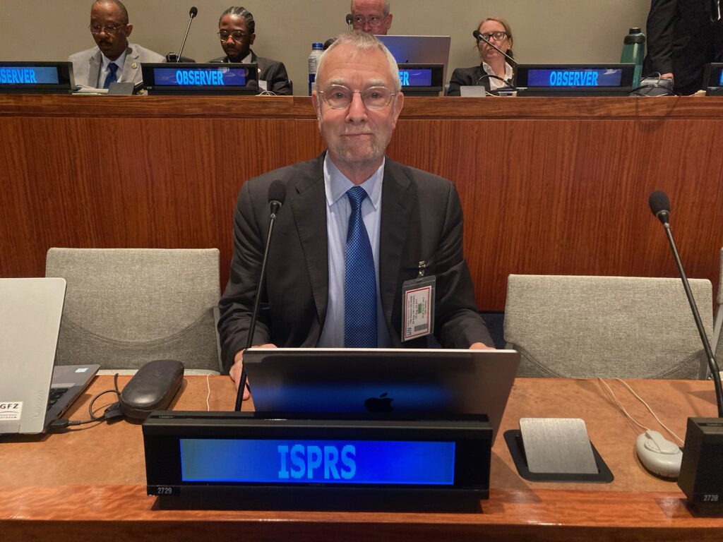
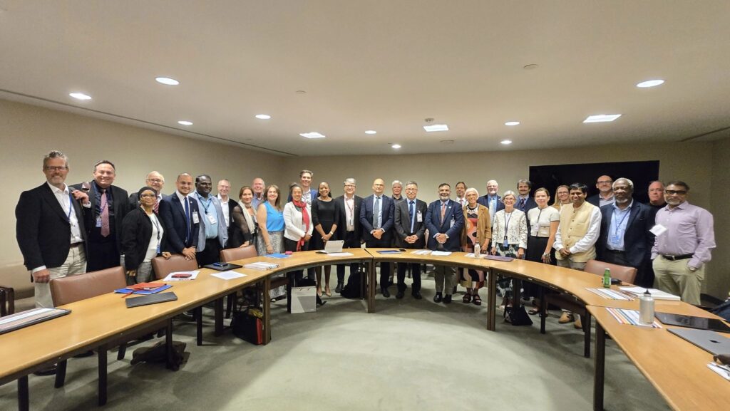
UN-GGIM meets annually at United Nations headquarters in New York. It’s very formulaic, i.e. three days of deliberations, preceded by two days of “side events”. This year’s session, the 15th, drew 362 participants: 269 official delegates from 80 member states, and 93 observers from 68 entities. The delegations of the member states often contain senior managers from their national mapping agencies, though many of the delegates included experts from census, space or lands departments in their respective countries. The observers came from professional societies (FIG, IAG, ICA, ISPRS, IUGG etc.), academic bodies, or private companies. I represented ISPRS.
For a newbie to UN-GGIM, the structure, jargon and protocol are complex and daunting. Before the main sessions – the last three days are referred to as “six meetings”, i.e. one each morning and one each afternoon – there are two days of “side events”. For example, I attended meetings on climate, environment and resilience; the evolving digital landscape; authoritative data: geodesy, land, marine; global geodesy; geospatial leadership; and integrated geospatial information management for development agendas. ISPRS is part of UN-GGIM’s Geospatial Societies (GS) group, which had a separate lunchtime meeting.
Side events and meetings
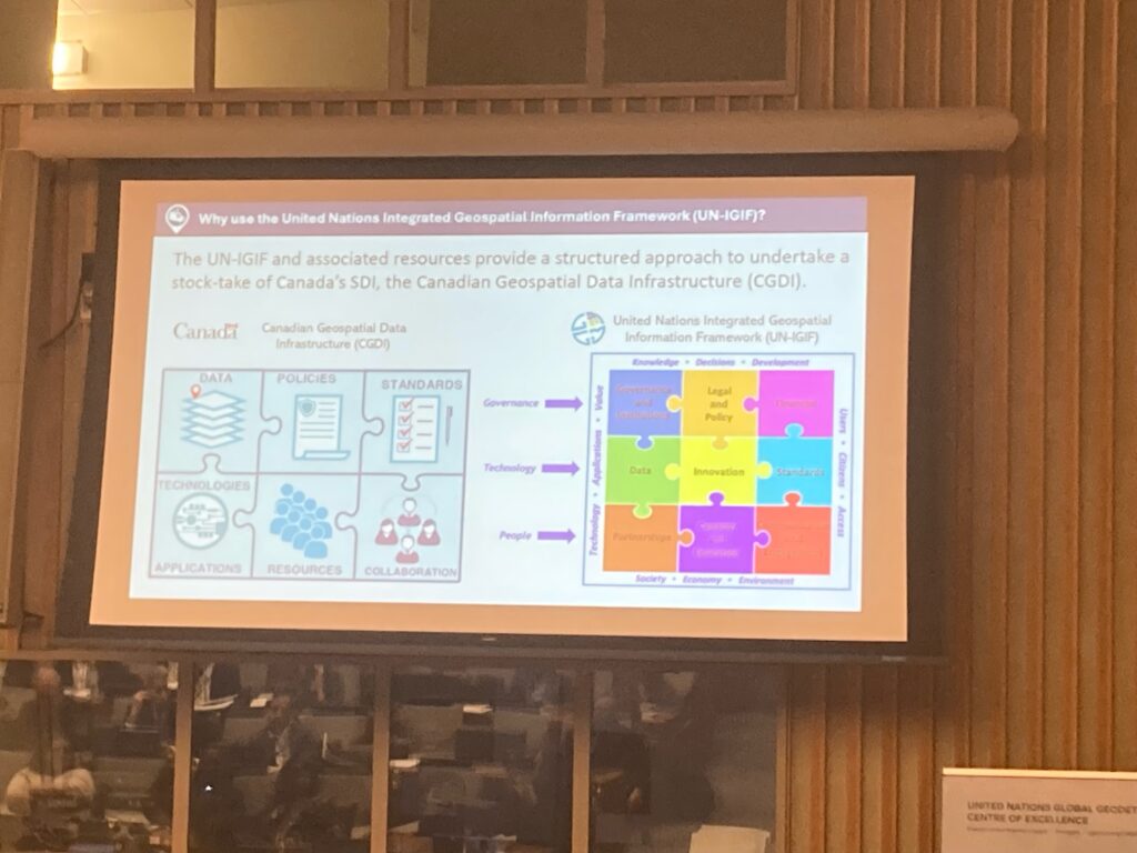
GS, in its turn, is one of four components of the UN-GGIM Thematic Networks and I started the week with this group’s meeting. Certain topics were raised that persisted throughout the week: the need for capacity building; the importance of GeoAI; and progress with the Integrated Geospatial Information Framework (UN-IGIF). I was delighted that one of the principal contributions here was from Andy Coote, founder and chief executive of the UK firm ConsultingWhere. Andy was one of my students in London at the end of the 1970s! The real challenge is not to solve further technical problems or develop new materials, but to coordinate efforts worldwide so that the right offerings can be made efficaciously to the countries that need them. Better governance is an unarguable requirement.
Later in the day, a session on “Climate, environment and resilience” was more sobering. A representative from Fiji stressed the reality of the challenges, “We are not drowning, but we are fighting.”
Among meetings I attended on the Tuesday, “Authoritative data: geodesy, land, marine” included a well illustrated presentation by Nicholas Brown, head of office at the UN Global Geodetic Centre of Excellence (UN-GGCE) in Bonn, Germany, in which he addressed the complexity of merging land and marine data in situations where geodetic issues have not been fully resolved or defined. We seem to have mastered this in the US, as we move forwards from 3DEP to its successor, which will include inland waters, but perhaps in some countries it’s not so straightforward.
Nicholas was center-stage in the next session, “Celebrating 10 years of the Global Geodesy Reference Frame Resolution,” stressing the high-quality science involved in the UN-GGCE’s work and its mission of evidence, awareness, capacity and governance. Sadly, there is evidence of a lack of ability to communicate the importance of geodesy to policy makers. A delegate from Belgium made a telling point about funding: Europe’s open data directive means that geospatial agencies have to give high-value data away for free, even to Google. Dieter Fritsch asked how Hexagon, which he was representing, could become involved.
The next meeting of the side events was “Geospatial leadership”. There is a major challenge in implementing UN-IGIF and other policies developed at by UN-GGIM. Andy Coote (see above) talked about the course his organization has prepared to address the “soft skills” of geospatial management. Several speakers highlighted progress being made in certain countries, but there is much still to do.
The last of the side events was a forum on “Integrated geospatial information management for development agendas.” This was started by a beautifully crafted and spoken address by H.E. Ambassador Francois Jackman, Permanent Representative of Barbados to the United Nations and Vice President of the General Assembly at its 79th Session (yes, there were some pretty important people in the room!). He repeated the dilemmas of the Small Island Developing States (SIDS) and emphasized that, “You need political, i.e. bureaucratic and administrative, buy-in, not just technical.” A delegate from Algeria arrived, fresh from giving an address on Gaza in the Security Council. He said he found UN-GGIM more amenable!
Main meetings
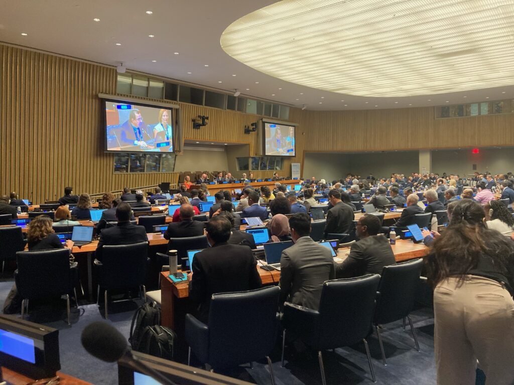
The six “meetings” or half-day sessions that constituted the formal part of the 15th Session of UN-GGIM are fully documented on the UN-GGIM site, so a very short summary suffices here. Simultaneous translation was available between all six of the official UN languages and more and more UN-GGIM documents are becoming available in all six, and even some others. The procedure for each item on the agenda was well controlled by the three UN-GGIM co-chairs, the rapporteur (a delegate from Fiji) and various UN staffers. The protocol was unwavering. An introducer spoke briefly about the topic, then the co-chair entertained “interventions”, i.e. short speeches (which had to be limited to one minute each, since there were 371 of them), then someone, usually a staffer, made a summary. The co-chair declared the agendum complete and banged the gavel. All introductions and interventions were submitted in advance. It sounds orchestrated, and it was, but what other way is there to hear and coordinate contributions from so many member states and observers in a civilized way?

The agenda included: enhancing global geospatial information management arrangements; contribution of regional committees to the global geospatial information agenda; contribution of thematic networks to the global geospatial information agenda; the future geospatial information ecosystem; UN-IGIF; global geodetic reference frame; geospatial information for sustainable development; geospatial information for climate, environment and resilience; integration of geospatial, statistical and other related information; integrated geospatial information for effective land administration and management; integrated marine geospatial information; policy and legal frameworks, including issues related to authoritative data and emerging technologies; implementation and adoption of standards for the global geospatial information community; standardization of geographical names and collaboration with the UN Group of Experts on Geographical Names; contribution of UN global geospatial centers (away from Headquarters) to enhancing global geospatial information management arrangements.
The above list gives some idea of the breadth and gravity of matters that came before the Committee of Experts. The corollary, of course, is that its responsibilities are both fearsome and critical to our future. It’s gratifying that progress is significant in many areas, but there is so much still to do. UN-IGIF is being adopted, it can be used in multiple ways, such as assessing existing systems, but many countries are not very far down the road. When I ruminate on this, I realize that I was privileged to sit in this top-level forum for the second year running.
In the final meeting, on Friday afternoon, a decision was made, after some debate, to amend one of the agenda items for 2026, placing the word “disaster” in front of “resilience” in “Geospatial information for climate, environment and resilience.” This change of emphasis was pushed hard by SIDS such as Jamaica. These countries are the worst sufferers from the effects of climate change and urgently need high-quality data and management as they adapt.
The conference dinner reception was generously hosted by Geospatial World celebrating the launch of the 17th Geospatial World Forum (GWF) on 28 April – 1 May 2026 in Amsterdam, under the theme “Sovereignty, economy & society”. In addition to the brochure on this meeting, copies were available of other Geospatial World publications, including Geospatial Knowledge Infrastructure Readiness Index 2025, which Sanjay Kumar, CEO, had mentioned during the side events.
By the end of the week, it we had completed five days of toil. The main session was orchestrated, as explained above, but the discussion was civilized, progress was made and delegates were encouraged to network in the breaks and the evenings to develop their agendas and cooperation for the future.
It was concerning that the most senior of the UN staffers supporting the meeting announced his imminent retirement. The same happened last year, so UN-GGIM is taking its toll! Moreover, he explained that the secretariat that supports UN-GGIM is drawn from the United Nations Bureau, is understaffed and that an ongoing project, called UN80, is looking at further streamlining. Nevertheless, the strong impression was that the staffers were not only highly competent but also committed to UN-GGIM and its goals.
From an ISPRS point of view, it was invigorating to catch up with many friends and acquaintances and to invite industry leaders to participate in our XXV Congress in Toronto in July 2026. Along with our sister societies and a private consultancy, ISPRS is investigating whether it can design an initiative aimed at capacity building, with a narrow focus on geospatial leadership.
Readers of LIDAR Magazine will be pleased to know that I caught up with contributing writer Amar Nayegandhi, whose next “Full Coverage” column is almost ready to go. Amar’s Woolpert colleague Zaffar Sadiq Mohamed-Ghouse, from the company’s Richmond, Victoria, Australia office, was there too and is now chair of the UN-GGIM Private Sector Network. I also approached Nicholas Brown (see above) for words of wisdom on the complexity of merging land and marine data.
Although I represented ISPRS at this event, I see a need to ensure that lidar, in particular when it is used in national elevation programs, is fully understood and appreciated. That’s a goal for 2026!