A perfect, vernal morning on the Berkeley Marina offered stirring views of the Golden Gate Bridge in one direction and the UCB campus Campanile in the other. Yet this was dramatically surmounted: there was a delay to the start of the GreenValley International US User Conference so that participants could go outside to witness amazing the solar eclipse. Through the glasses that Jeff Bezos had so promptly sent me, I saw the Moon move across the Sun from the four o’clock to the eight o’clock position over a couple of hours. We were so far west of the track of total eclipse that it was only partial, yet, perhaps by having the correct equipment and being well prepared through the barrage of newspaper and television reporting, there was a sense of serenity, of seeing something special happening as predicted, despite our Earth being fatally compromised by man-made conflicts and widespread environmental destruction. I offered my glasses to various passers-by and hotel staff. All were reluctant at first, yet changed noticeably after a glance at the Sun, to people conscious that they had seen something special.
Cody McColl, North America Operations & Customer Success Manager, GreenValley International and a UCB alumnus, led the meeting and opened with a firehose of detail on GreenValley hardware and software. This was a smaller event than the Esri Developer Summit (see below), with current and prospective customers joining LIDAR Magazine to hear the news. Examples of GreenValley’s extensive range of airborne, mobile and backpack systems were displayed around the room.

Cody McColl, North America Operations & Customer Success Manager, GreenValley International.
During lunch there was a short address by eminent Berkeley professor Maggi Kelly, in which she espoused the intellectual, entrepreneurial and empathetic qualities of Qinghua Guo, who had been her first graduate student (PhD, 2005) before he founded GreenValley in 2012. While the company may be perceived as Chinese, it was indeed founded in Berkeley. Dr. Guo is also a full professor at UC Merced.
Most of the afternoon was devoted to outdoor demos. The minivan used to bear the GreenValley LiMobile M1 system perhaps lacked the panache of the elegant or rugged SUVs flaunted by competitors at Intergeo, but it bounced round the badly surfaced hotel parking lot well enough while the system initialized and then collected data. A GreenValley LiAir H800 payload was flown on a DJI UAV for a short mission and both a LiGrip O1 Lite handheld systems and LiBackpack DGC50H were shown. In all cases, data was displayed in real time, usually on the GreenValley phone app. I sought clarification that GreenValley does not make UAVs, lidar sensors, cameras or GNSS receivers, but is an integrator; that’s true, but it perceives itself primarily as a software company.
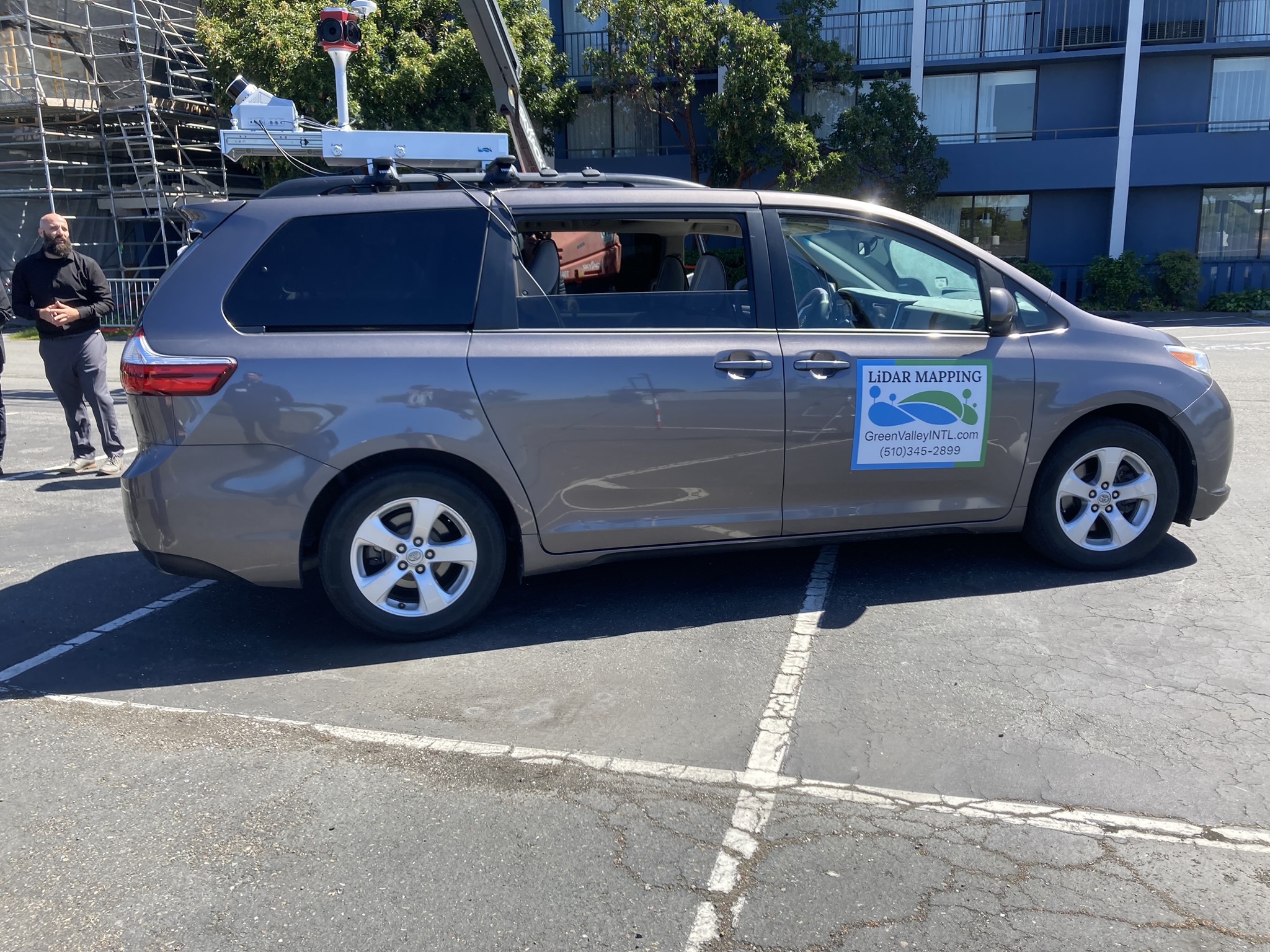
Cody addresses attendees during a parking lot demonstration of the GreenValley LiMobile M1 system.
Returning indoors, we were shown various datasets by GreenView staff and there was useful discussion of the software’s management of ground control points. Currently GreenValley offers no less than six software products, but is consolidating them into one or two, centering on its big LiDAR 360 offering. Finally, there were two Zoom presentations during dinner – no rest for the wicked at this event – describing projects successfully carried out using GreenValley payloads. The first was by Candrone, GreenValley’s distributor in Canada, and the second, a fascinating account by Daniel Colson, AI Policy Institute, about going up the Amazon looking for habitation before the Spanish. We hope to provide more details of these in the magazine.
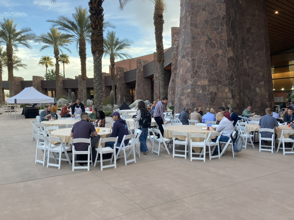
A month previously, I had been invited to attend the Esri Developer Summit in Palm Springs, California. This was the 19th such event and it always seems a little odd, with participants stoically enjoying meals and social events outdoors in temperatures rather lower than during the torrid Coachella Valley summer. The Esri communications team, led by Robby Deming, tirelessly ensure that LIDAR Magazine is comfortable and fully informed during the company’s events. There were more than 2500 participants from 50+ countries present in person and thousands more online. The first morning was the opening plenary. Jack made a brief appearance to welcome us, his cheerful presence a highlight of the day, one of the most remarkable, revered and accomplished geospatial figures of all time. We think of the special individuals who have changed aspects of our lives with, for example, PCs, phones, tablets, goods ordered online, social media, electric cars. What has Jack brought? He has changed the world through geography and its ability, when undergirded by powerful, sophisticated software, to unravel and help solve those of the world’s problems with a spatial dimension – most of them.
Attendees of the Esri Developer Summit in Palm Springs, California
Jack left the stage and the session was emceed by David Cardella. We were conducted through a detailed, well-orchestrated update from the developer’s point of view. In the Esri style, numerous talented employees from all around the globe presented aspects of the software through engaging examples. For your scribe, however, one part of the session was head-and-shoulders above the rest. Sud Menon, Esri’s Director of Software Product Development, summarized Esri’s product and technology vision. I’ve written about Sud before – he was memorable, spoke in sentences, with no more jargon than was necessary to cover his material, and, without appearing to rush or break a sweat, covered the entire software stack, of which he was demonstrably the master. If you need a top Esri guy to enhance your event, top choice after Jack has to be Sud!
I took in some break-out sessions after lunch. In the first, Arif Masrur and Mansour Raad wowed the audience with descriptions of their analyses of dangles at the grand scale. Mansour, Esri’s Global Chief Technologist, was in showman mode and as entertaining as ever, while not hesitating to stretch the audience by jumping staccato between computer science algorithms and hardware and software tools. The other breakouts I visited were all good, perhaps a little compromised by presenters trying to shoehorn in too much content.
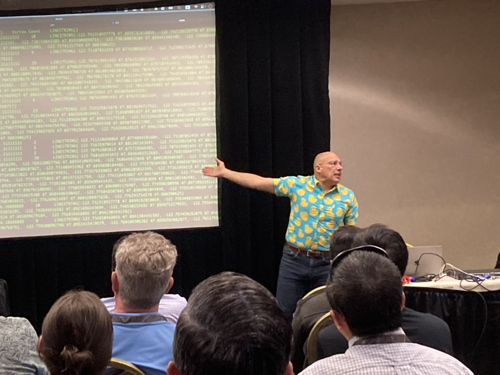
Mansour Raad, Esri’s Global Chief Technologist
Sud Menon has a PhD in geography from UC Santa Barbara, which is a good enough segue into the SDSU/ASPRS Spring Technical Meeting, hosted two weeks later by the ASPRS Student Chapter in the Department of Geography. This was the 18th meeting in the series and attendance of around 45 included mainly SDSU faculty and graduate students and about a dozen others online. There were four presentations. The first three were by Zuzi Gounev, Noah Young and Garrett McGurk, SDSU alumni with established careers in San Diego Gas & Electric, the Bureau of Land Management and the Scripps Institute of Oceanography respectively, describing their organizations’ use of GIS and remote sensing. The keynote, however, was a magnificent tour de force by Emeritus Distinguished Professor Douglas Stow. I first met Doug at an airborne remote sensing conference in Copenhagen in the late 1990s and he was different, because he was interested in what could be done with aerial imagery – at a time when most researchers were attracted by the rapidly increasing availability of satellite imagery. His presentation ranged rapidly around the variety of projects in which he has been involved over the decades and the sheer volume of work and publications was staggering. Equally impressive is the number of graduate students and colleagues whose careers Doug has launched or enhanced. The first part of his talk focused on wildfire studies, mainly using imagery, especially thermal IR. Doug and numerous graduate students analyzed not only the speed of fires’ progress (think about a wildfire advancing at 21 m per minute – scary!) and the changes in the environment caused by the conflagrations. Of his many scientific accomplishments, perhaps the best known is Repeat Station Imaging (RSI)©, where airborne imagery is flown at different epochs in such a way that the exposure stations are as close to the same positions each time. This facilitates change detection, because, for example, the differential effects of relief displacement are less and co-registration errors are minimized. It’s clever because it’s simple and it works – successfully on multiple applications. One of these is the analysis of infrastructure; another is border security. RSI is all the more relevant in UAV-photogrammetry.
Dr. Douglas (Doug) Stow, Distinguished Professor Emeritus at San Diego State University (SDSU)
Between meetings, there has been time to stoke up on lidar material online. The splendid, no-nonsense product updates from GeoCue continue, while other firms such as Simactive offer worthwhile fare. At the other end of the spectrum, the British Cartographic Society provides a series of “Teatime Talks” (well, it’s teatime in the UK anyway and Rupert Brooke’s couplet, however naively sentimental, is hard to forget: “Stands the church clock at ten to three, And is there honey still for tea?”), many of which are reminiscences by senior members on maps that they cherish. “Who would have thought? From there to where?” by retiring president Dr. Seppe Cassettari was much more than just a chat about maps. Seppe gave a thoughtful reflection on an accomplished career in both government and the private sector. He completed his PhD (looking at the ability of the M1 Abrams Main Battle Tank to traverse terrain, of which an A0 plot could be generated in no less than eight hours) in 1983 while an MoD employee and used that as the starting point for his analyses of change over 40 years on six themes – computing; earth observation; from GIS to AI; management and modeling of land use; the 3D world; and mapping quality. From there he crafted a set of five challenges that cartographers should strive to address. The talk, while designed for a cartographic audience, confirmed the crucial role that elevation data is certain to play.
Meanwhile, The LIDAR Magazine Podcasts proceed apace. These are turning into enjoyable conversations with interesting, accomplished lidar people, talking about their lives, experiences, products and projects. We’ve had some positive feedback from various quarters and are reassured that this project, sponsored by the LAStools lidar-processing software, is worthwhile. I’m pleased to say that we are increasing our capacity – we want to talk to more guests and bring you more informative discussions – so Dr. Austin Madson, a professor with the University of Wyoming, has joined the LIDAR Magazine team as an associate editor and will host some of the podcasts.
These pages recently bore a personal account of the Geo Week 2024 event, size 2950. A more measured, systematic report is now available from the conference organizers. If it sounds good, next year’s is also in Denver, on 10-12 February 2025.
Reporting meetings is more than a travelogue. What do they signify in terms of our geospatial development?
The Department of Geography at SDSU prospers, though geospatial figurehead Doug Stow now manages research and his Change Aerial start-up rather than teaches. SDSU has already enjoyed successes with the GeoCue UAV-lidar system procured last year – though it’s currently being replaced after an unfortunate collision in Ecuador! Doug and colleagues are writing a piece for the magazine about work they’ve done on the coast at Laguna Beach – that’s coming soon. And there’s a lot more geospatial activity and adventure in San Diego County, with both public and private organizations making full use of current technology.
Esri and its community continue to dominate GIS and its applications, while the commitment to software development in response to both technological trends and customer requirements is as plain as ever.
GreenValley International is one of the many competent integrators of UAV-lidar systems: while its high-end products are based on RIEGL lidar sensors, it meets the challenge of integrating surprisingly many sensors to round out its portfolio. The GreenValley event, for the reason given at the opening of this ramble, eclipsed the other meetings. To relive the experience, keep in touch with Cody McColl to ensure that he schedules his event accurately and you can save the date – 12 August 2045. GreenValley’s accomplishments, however, are tinged with sadness as the size of its US marketplace is necessarily curtailed by restrictions on Chinese UAVs. Nevertheless, it’s prospering globally, has 450 employees, has attracted $58m in equity capital, is heading to IPO and has sold products into more than 130 countries.
Everyone seems to be creating or embracing increasingly performant geospatial capabilities. Everyone’s talking about AI. People’s lives are benefiting. As the geopolitical stormclouds gather and the planet’s deterioration causes scientists to despair, let us hope that we geospatial folk can use our technological prowess as a springboard to real influence on decision-making.