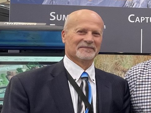
Jeff Yates retired as general manager of DAT/EM Systems, Anchorage, Alaska, on June 2, 2023. This changing of the guard comes close on the heels of the retirements of two popular Florida lidar folk, which we reported recently [1]. Jeff is well known in the mapping industry, both to his customers and to many others who enjoyed interacting with him while he led his team on tradeshow booths all round the world for many years. We wanted to congratulate Jeff, thank him for what he has done, and mark the occasion and asked Jeff for a few words about his life. Here’s what he wrote.
In October 1982, having just arrived in Anchorage, Alaska with no job prospects and no money, yet with a BS degree in land planning from Montana State University, Jeff walked, unannounced, into the offices of North Pacific Aerial Surveys and asked for a job. Fortunately for him, he was offered a position making engineering-quality maps on a now-ancient two-bucket analog Kelsh stereoplotter. Within two weeks, with absolutely no prior piloting experience, found himself behind the controls of a twin-engine corporate aircraft taking high-resolution pictures using a million-dollar Zeiss camera system all across Alaska.

In 1985 Jeff became one of the first photogrammetric map compilers to begin testing and using the internally-developed yet fledgling DAT/EM software on an encoded Kern PG2 stereoplotter. In 1987 DAT/EM Systems sold its first software module, known as CAPTURE for AutoCAD. Soon after, Jeff became DAT/EM’s first international sales manager.

In 1989 Jeff was the co-coordinator for the project that placed the first-ever GPS instruments on the summit of Denali (formerly Mt. McKinley) in Alaska, the tallest mountain in North America and one of the coldest mountains on earth. Also in 1989, he placed the first GPS receivers on the summit of Mt. Fuji, Japan. In 1995, while at Mt. Everest base camp conducting a GPS survey of the world’s tallest mountain, Jeff was asked to return quickly to Alaska to take over the general manager position at DAT/EM Systems International, which was by then a small yet effective software division of AeroMap U.S. Accordingly, Jeff hired a passing yak at Everest base camp to haul his gear off the mountain and, after five days of travel, arrived back in Anchorage. Thereafter, DAT/EM Systems, with a smart and technically competent staff, fought its way to one of the top slots in the global, specialized niche industry of digital photogrammetry.
During this time, DAT/EM Systems adapted to the ever-changing technologies that influenced the global geospatial marketplace and continued to sell more licenses and grow. Key to DAT/EM’s sustainability and thrust into the future was keeping in close contact with its clients and developing those photogrammetric tools that the clients required.

Fast forward many fabulous years later, while on a ferry/cruise ship in the Mediterranean Sea with the Italian Amalfi Coast, Capri Island and Vesuvius volcano on the horizon, Jeff submitted his letter of resignation, effective June 2, 2023.
Jeff is still involved with the international geospatial community on a volunteer basis as the Secretary/Treasurer of the Alaska Region of ASPRS, a member of the University of Alaska’s Geomatics Advisory Board and on the Executive Committee of The ISPRS Foundation (TIF) as its Finance Officer for. Jeff has a personal goal of traveling to 100 countries: 8 remain before it is fulfilled!
[1] https://lidarmag.com/2023/06/20/florida-lidar-flourishes/.