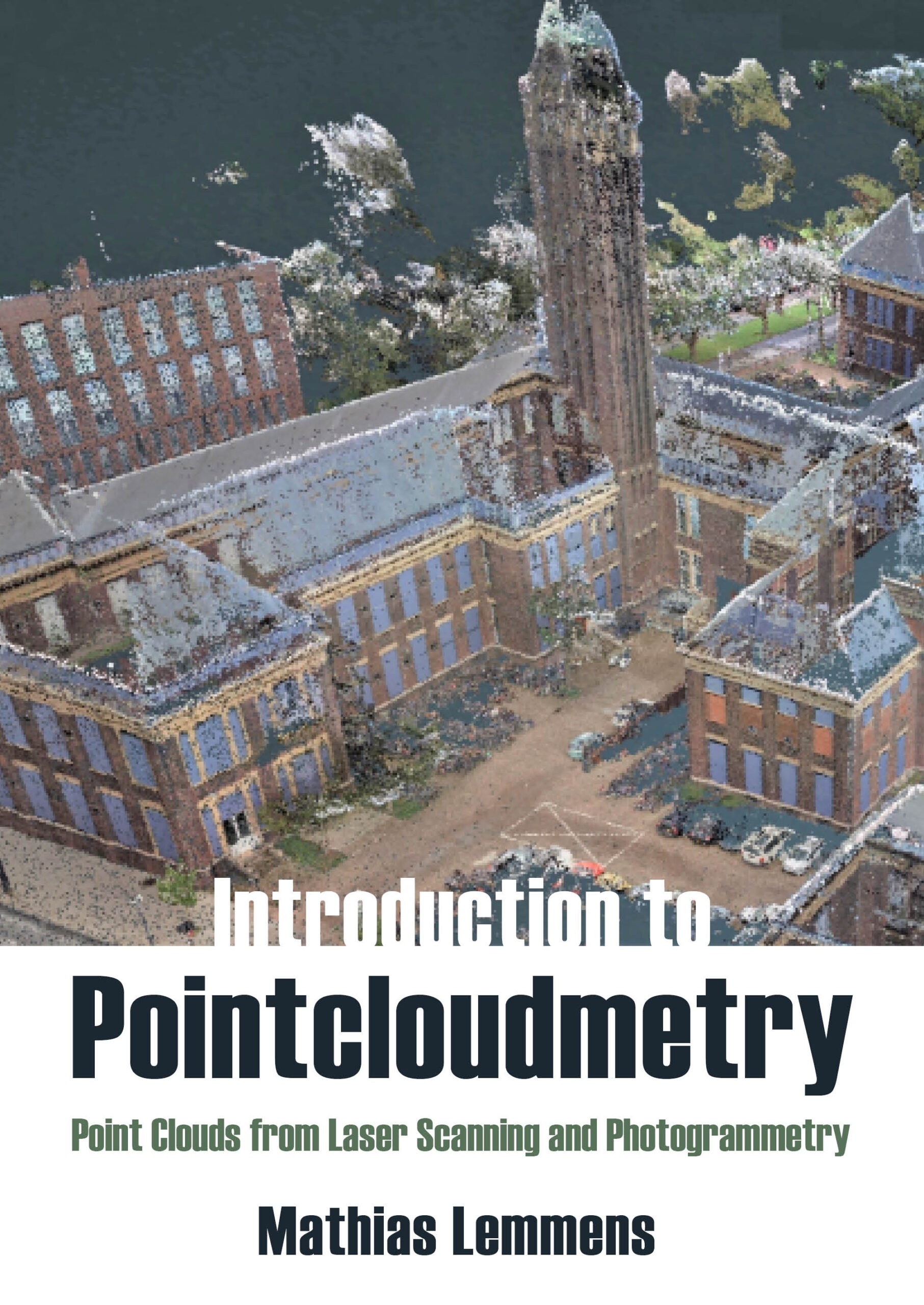
Introduction to Pointcloudmetry: Point Clouds from Laser Scanning and Photogrammetry. Mathias Lemmens. Whittles Publishing, Dunbeath, Caithness, Scotland, 2023. 240 x 170 mm, xv + 349 pp, 201 color and black and white illustrations, 15 tables, index. Hardback, ISBN 978-1-84995-479-2, £95 from publisher in UK, $135 from Amazon in US.
Reviewed by: Stewart Walker, Managing Editor, LIDAR Magazine.
 The initial impact of this textbook is the neologism on the front cover, defined by Lemmens as follows (page x): “Pointcloudmetry encompasses the technologies for obtaining accurate and detailed information about earth-related objects, including the bare earth surface, by acquiring and processing point clouds.” This lexical creativity mirrors the author’s courage to adopt fresh approaches, make interesting use of language and take the risk of addressing an unexplored segment of the geospatial book market. The target readership is broad – geography and geomatics students, GIS analysts and practitioners, software engineers. His goal is to describe the key role of point clouds and cover their acquisition and use in a comprehensible way, with consistent nomenclature. He states that each of his 13 chapters can stand on its own as a teaching tool and acknowledges that this results in some repetition (which your reviewer noticed, so it was reassuring to understand why). Lemmens is well known and brings decades of experience both as an academic and as editor-in-chief of GIM International [1].
When your reviewer first received details of the book, he expected a volume on the processing of point clouds, predominantly from lidar, into various deliverables. But it’s not that – the author’s goal is both more introductory and more comprehensive. He explains enough about photogrammetry and lidar to enable his audience to understand where point clouds come from, then he provides sufficient on the processing to portray what can then be done with them, and concludes with some applications. This means that a tremendous amount of ground is covered in a relatively short book: Lemmens’s goal, as depicted above, should not be forgotten.
The book is in four parts. The first, “Embrace Light”, includes three chapters: an introduction to the book followed by fast-moving primers on electromagnetic energy and laser light. Lemmens introduces radar and explains that it is not covered in the book, as the subtitle indicates. Since point clouds from both synthetic aperture and ground-penetrating radar are increasingly important, perhaps these can go into a second edition. Why, oh why does he insist on starting both “lidar” and “radar” (but not “sonar”) with uppercase letters? Your reviewer thought that this issue had been resolved in favor of all lowercase [2]. This book will therefore educate a community that doesn’t think so!
The four chapters of Part II, “Acquisition of Point Clouds”, charge through photogrammetry, airborne and ground-based lidar, and a heterogeneous collection of important topics entitled “Survey peculiarities”. It’s amazing that modern photogrammetry can be presented in around 40 pages, but Lemmens does it and introduces topics such as image matching and least squares adjustment, which of course reappear elsewhere in the book.
Part III, “2.5D Mapping of Point Clouds”, has three chapters on processing – DEMs, interpolation, ground filtering. The author’s wish that each chapter be independent leads to more repetition here, but the material is well presented and illustrated.
The book ends with Part IV, “3D Mapping of Point Clouds”. A chapter on feature detection begins with interest operators then goes into multispectral classification. The former is covered in some depth, whereas the latter barely touches the surface. The following chapter is a discussion of processing software: Lemmens wisely avoids describing or comparing packages on the market, as such treatment would necessarily be both eclectic and dated, but gives useful notes on what packages may contain, followed by hints on choosing one. The final chapter on applications is worthwhile: Lemmens has chosen a number of pilot studies of the use of point clouds in corridor mapping, cultural heritage, mining, 3D city maps, forestry and gaming. Each is presented in a succinct, interesting way and once again the illustrations are well chosen. Efficiency and accuracy have doubtless improved since these pilots were conducted, but the applications remain representative.
Lemmens explains in the introduction that publication had been planned for autumn 2020, but that the pandemic occasioned a two-year delay. This explains, perhaps, the sparsity, among the high-class, useful references, of items later than 2019, and the September 2018 table of TLS sensors in the chapter on ground-based lidar! Similarly, timing could account for rather little comment on the role in the UAV space of lidar sensors from the automotive world. More critically, there is little or nothing on artificial intelligence, especially deep learning, which is now deployed daily in areas such as lidar point classification. Furthermore, nationwide point-cloud data, publicly available for download from national mapping agencies, is becoming prevalent and would have merited some discussion.
The book is attractively produced. 84% of the illustrations include some use of color. The tables use shades of brown to be more interesting and readable. In addition to the main index, there is a list of acronyms and initialisms, an index of applications and an index of formulae. A few minor errors and unfortunate typos, of course, slip through, such as the frequent use of “course” for “coarse”. The use of “rationing” rather than “ratioing” is too close to home for us seniors who can remember austerity during the European recovery in the 1950s! However, “outrage” rather than “outage” is serendipitously droll.
Please reflect on what Lemmens has achieved. This is a book for point-cloud people that places no unreasonable demands on readers’ mathematics. Parts I and II furnish explanatory material from coordinate systems to photogrammetry and lidar, to show how point clouds are created – that’s a remarkable synthesis. Parts III and IV successfully navigate an equally wide expanse by showing how point clouds can be converted into useful information and ending with examples. The price is not out of line for a hardcover textbook in 2023. Those who work with point clouds and wish to put their endeavors into context – not just students but also practitioners in the geospatial industry and end-users of the deliverables – will enjoy and benefit from Lemmens’s efforts.
[1] Some of Lemmens’s thoughts are provided at https://www.gim-international.com/content/article/shedding-valuable-light-on-the-geomatics-industry.
[2] https://lidarmag.com/2018/06/22/from-the-editor-unexpected-nuggets/.