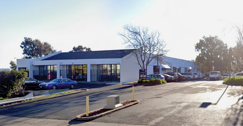
GeoWing Mapping headquarters in Richmond, California, just to the northeast of the Bay Bridge.
On a recent visit to several Bay Area lidar players1, I was privileged to meet up with Rebecca A. (Becky) Morton, co-founder and CEO of GeoWing Mapping Inc., a small company offering UAV-photogrammetry and lidar services. GeoWing is based in Richmond, California. I was interested in the secrets of the company’s success and its approach to lidar data acquisition and processing.
LM: Please give a history of your company.
BM: GeoWing Mapping, Inc. (GeoWing) was founded in January 2015. We are focused on providing aerial mapping solutions for engineering, environmental and land use applications. We are experienced in utilization of large format aerial systems as well as unmanned aerial systems and our goal is to provide the best tool and approach for each unique project.
LM: Please tell us about the current employees.

Becky Morton (left) and Alan Mikuni (right), co-founders of GeoWing Mapping.
 BM: The company owners are Rebecca A. (Becky) Morton, President and CEO, and Alan M. Mikuni, Vice President and CFO. Becky and Alan share responsibility for financing, hiring, and management of resources. Alan Mikuni is a California Professional Engineer and ASPRS Certified Photogrammetrist. Becky Morton is an ASPRS Certified Photogrammetrist and Certified Mapping Scientist.
James Berglund has been with GeoWing since 2017. He started as a project manager responsible for map production and business development. He currently holds the position of Vice President, Business Development. James has worked in the geospatial industry for over 22 years. He has extensive experience in photogrammetric mapping, GIS, CAD and lidar.
Gwendolyn (Gwen) Gee started working part time with GeoWing in 2015. She is a California PLS and a Certified Federal Surveyor. She was formerly County Surveyor for Santa Clara County in California. She serves as Survey Manager for GeoWing.

The GeoWing Mapping workforce at headquarters.
GeoWing has two part-time and one full-time drone pilots. Harley Milne and Mark Hull are experienced UAS pilots who have worked with GeoWing since its inception. Cyrus Khambatta began work at GeoWing in 2020 and is training under Harley and Mark. His educational background includes computer science, GIS, GPS, and environmental science. He is an FAA Part 107 licensed pilot, is experienced in the majority of the geospatial software programs and provides data production services at GeoWing.
LM: Could you summarize the equipment you have at your disposal?
BM: GeoWing has standardized on DJI unmanned aircraft at this time. We own and operate several systems from the smaller Phantom drones to the Enterprise systems such as Inspires and Matrices. In addition to the drone platforms we incorporate geopositioning equipment such as the AirGon LOKI system, which provides post-processing kinematic solutions and the DJI M210-RTK and M300 systems for real-time kinematic solutions. The sensors that we operate include three-band RGB cameras DJI Zenmuse X4S, X5, X7, P1; multispectral cameras such as the MicaSense RedEdge and Altum; and thermal cameras such as the DJI XT2 and H20T.
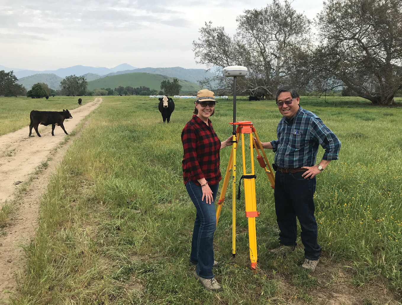
Becky and Alan surveying a ground control point.
GeoWing is experienced in project design and map production for projects using manned aircraft and/or lidar data acquisition. When these are required, we work with several strategic partners to provide acquisition, which we then incorporate into our data production pipeline.
Our company is licensed and experienced in providing ground control surveys for mapping projects. We own GPS/GNSS receivers and we provide the control networks for our projects or we provide guidance on requirements to clients who provide their own survey.
LM: What software do you use?
BM: We have a large variety of software products at our disposal, chosen with an eye on economy but always with fulfillment of customers’ requirements as the first priority. For our UAS-photogrammetry, of course, we use Pix4D and Metashape, sometimes running the same project through both and selecting the result that we think better fits the data. We have had good experiences performing strip alignment of lidar blocks with software from BayesMap Solutions and we have formed a fruitful relationship with founder and CEO Dr. André Jalobeanu. We also use the Remotely Operated Agriculture Mapping product (ROAM)2 for some precision agriculture projects. Sometimes our employees work at customer sites and gain experience of other software.
LM: What is special about GeoWing? What would you say are your firm’s greatest strengths?
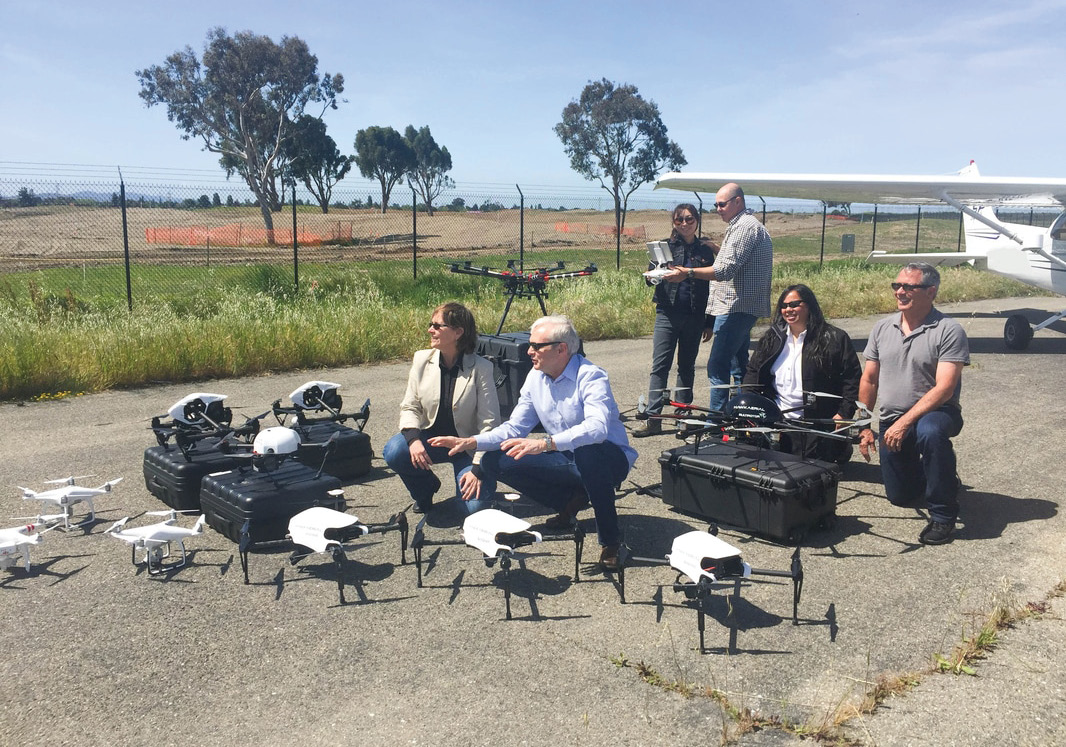
GeoWing Mapping and its partners.
BM: In addition to the depth and breadth of the company’s technical expertise and experience, GeoWing’s strength comes from the relationship among the employees. We are a small company and we rely upon everyone’s commitment and skills to accomplish each project. We have fun.
LM: Your website lists a formidable range of clients. Are there particular markets you are aiming at? Is there any such thing as a “typical job”?
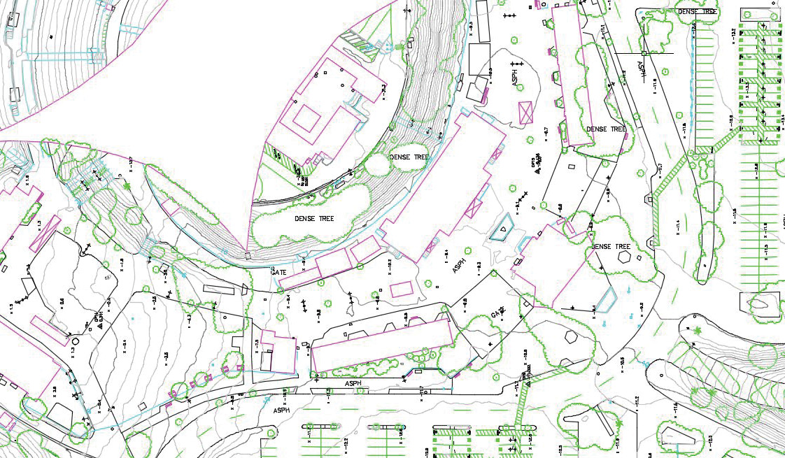
BM: We do have a “typical job” category which makes up the bulk of our work – high-resolution, high-accuracy UAS-photogrammetry. These jobs are usually under 1000 acres and require mapping to produce DTM surfaces, 1´ contours and full planimetric map collection as well as orthophotography with a resolution of 0.1´ or better. There are multiple markets that require this “typical” list of services, e.g., land use/land development, environmental, utilities, and transportation.
 Approximately 50% of our projects require a manned aircraft approach due to the size and/or complexity of the project area. In those circumstances, we perform project design and work with acquisition partners to provide the aerial data, which we then integrate into our standard mapping operations.
In addition to photogrammetric projects, we are always pleased to land a project that requires some other challenging aspect such as 3D modeling, multispectral orthophotography, drone monitoring, volumetrics, close-range data capture, thermal, standards and specifications consulting, quality control/assurance, etc.
LM: You were always adamant that you would not include lidar in your capabilities owing to its cost and the resulting risk in the event of a UAV crash. Has the falling cost of lidar sensors changed your mind?
 BM: We are pleased with our current model of operation, which provides the flexibility to contract for lidar acquisition rather than owning the equipment. Fortunately, we have several highly qualified strategic partners, such as SkyIMD, Inc. of Richmond, California, and Hawk Aerial, LLC of Napa, California, so we are in a position to contract out lidar data acquisition from both UAVs and crewed aircraft.
LM: Yes, indeed, you have successfully completed lidar projects through your relationships with partners. There are seven lidar clients on your website. Could you please say more about this?
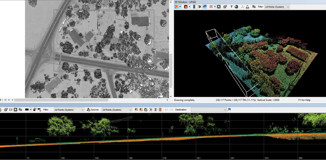 BM: GeoWing’s lidar services include direct-contract clients and sub-contract clients. Our employees are highly experienced in performing lidar classification and lidar mapping and therefore part of our business model includes offering sub-contract services in that area. In addition, we have been fortunate to provide some direct-contract lidar services, where we manage the project from initial project design through mapping and final lidar deliverables. Examples of the direct-contract clients are AECOM and the City of Sausalito. AECOM contracted with GeoWing to provide a turn-key solution consisting of lidar mapping, bathymetric integration and orthophotography on the 284-acre Upper Truckee River Restoration Reach 5 Project for the US Forest Service. GeoWing was the prime contractor with the City of Sausalito’s Lidar and Ortho Project in 2017, which included lidar mapping, contours, and orthophotography over the Sausalito city limits in support of the development of a Sausalito Storm Drain Master Plan.
 LM: Do you see more lidar in your future?
BM: We predict more lidar mapping in the future for GeoWing. Lidar provides the best mapping data in many scenarios and the cost is coming down, therefore we should be able to offer lidar more often and still hit the client’s budget. I believe the client demand will increase as more and more clients have experience working with lidar data sets.
LM: You left a career in larger geospatial enterprises, including Horizons and Towill, to found your company. Has the result been a fulfilling experience? Would you advise others to take this course?
 BM: Founding GeoWing has been a very fulfilling experience. I believe this sentiment is shared by my business partner, Alan Mikuni. Every project that is delivered with high accuracy, quality mapping, and beautiful imagery provides satisfaction. The frequency with which clients come back to us based upon the professionalism and timeliness of our service is rewarding.
LM: Lastly, you have been extremely active in ASPRS, though I’m sure your responsibilities at GeoWing have made this very difficult. I know that you have been involved in the development of ASPRS standards related to the procurement of geospatial services3. Do you have plans to do more of this in the future?
BM: ASPRS involvement has been one of my best career path choices. I have received far more than I have given from ASPRS and the incredible contacts and mentors that came from the many years of participation. I am currently participating and contributing through board membership at the regional ASPRS level. I believe this is where I will continue to serve for the remainder of the time that I am involved in the industry.
LM: Becky, thank you very much indeed for providing this compelling cameo of GeoWing Mapping. LIDAR Magazine wishes you every success in the future as your firm expands.
3 Morton, B., 2015. Intro to the ASPRS guidelines for the procurement of geospatial mapping products and services, Photogrammetric Engineering & Remote Sensing, 81(8): 605, August 2015. The full guidelines may be viewed at asprs.org/a/society/committees/standards/Combined_Procurement_Guidelines.pdf.