
Dusk shot of one of the Cessna Conquest aircraft in the Surdex fleet
The utilization of lidar has evolved dramatically, as technology has paved the way to higher accuracy, increased point density and lower costs. These trends have been driven by the increasing demand for more and higher density elevation data, in response to the needs of both businesses and the public sector. Increased efficiency due to technological advances has further driven down prices.
A public entity will typically conduct a major initial acquisition, such as a county-wide or multi-county project. Once this is completed, the entity may determine whether it needs refreshed lidar data over a specific area based on certain factors, such as:
- Changes in terrain
- Population growth and expanding infrastructure
- Industry needs
- State planning
- Federal programs
Such refreshes, indeed, should take place based on these factors, rather than at a specific interval, for example annually. If an entity conducts piecemeal updates, however, they may end up with a “patchwork” of data with variations in point densities and classifications, and it becomes desirable to have the area completely reflown to establish a fresh, seamless dataset.
Editor’s note: A PDF of this article as it appeared in the magazine is available HERE.
Intermediate collection efforts as well as completely new collects are driven by an entity’s needs, but tend to conform with the following time frames:
- Private sector firms: more than once per year
- County/municipal governments: annually
- USGS recommendations: every 8 years
- State of North Carolina: every 10 years
Changes in terrain

Teledyne Optech Galaxy lidar sensor installed in a Surdex aircraft
Dramatic changes in terrain make previously acquired lidar inaccurate. Natural disasters, such as flooding, especially of rivers or coastal regions, can create significant changes to the terrain of an affected area. Lidar can be extremely useful for both emergency response and recovery purposes, as well as long-term planning and rebuilding. Following a natural disaster, the distressed community has an immediate need to determine the location and extent of the area of impact. First responders can exploit lidar to estimate the amount of damage and debris, as well as to evaluate roadways and waterways that may be damaged or obstructed. Insurance companies can use it to help assess the extent of damage from virtually any type of disaster, for example floods, tornadoes and earthquakes.
Once the initial emergency is managed, public entities can use lidar data for post-event planning and reconstruction. This may be done with the initial lidar data used for first response, or they may determine that their needs are best met by acquiring additional lidar over an expanded area.
Population growth and expanding infrastructure
Municipalities and counties experiencing sizable growth require up-to-date lidar data for virtually every application—infrastructure expansion, road construction, subdivision planning, etc. These entities necessarily acquire new lidar of undeveloped areas to facilitate development and construction.
Public entities engage construction and engineering firms to develop infrastructure and transportation systems, and the acquisition of lidar is integrated into their building schedule. They often require multiple sets of data, to compare progress or to expand or modify an earlier plan. An entirely new subdivision, for example, will require lidar data not only for constructing new roadways—arterials as well as neighborhood streets—but also to calculate water flow for the planning of water mains, runoff, wastewater and sewage systems. The frequency will depend on the specific need, but often the first collect is immediate.
Industry needs
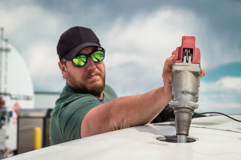
Pilot refueling aircraft
Many industries have been able to exploit lidar, which has proven to be an efficient method for replacing labor-intensive data collection. The energy sector, for example, has ongoing needs for the safeguarding of transmission lines to ensure uninterrupted flow of energy. One problem affecting the industry is the encroachment of vegetation around power lines. Previously, power companies have had to spend considerable sums to monitor vegetation, lest it exceeds a certain height or comes within a certain distance of towers and structures. Today, lidar data makes the monitoring of powerline vegetation encroachment much easier. Growth models can be applied to base lidar to assess where and when vegetation should be cut. By evaluating the growth rate, companies can determine the optimal frequency of lidar collects for this purpose. With the advent of airborne lidar, what once took teams of workers thousands of hours can now be accomplished quickly and at much lower cost. The North American Electric Reliability Corporation (NERC) has made recommendations for companies on the use of lidar for this purpose. The energy industry also uses lidar to efficiently map its transmission and distribution infrastructure, again providing a marked improvement over earlier practice.
State planning
Many states have established plans for ongoing collection of lidar data for multiple purposes, with other states poised to follow. Around 1998, North Carolina collected lidar data at a spacing of 2-5 m for the entire state, based on river basins, for floodplain mapping and emergency management. This project was the best-known 3D project at the time. Most states emulating the North Carolina project collected lidar data at a post-spacing of 1.4 m. In 2014, North Carolina increased the density to 2-4 points per square meter, with other states following suit. Since then, many states have acquired complete lidar coverage, and some have started repeat collections at higher point densities and accuracies due to their needs and a reduction in pricing.
Federal programs

Surdex “state of the company” event held in the hangar
The origins of the Federal Government’s involvement in lidar began with floodplain mapping and geological applications. From rather limited beginnings, the Federal Government has done much to support and encourage the increased acquisition of lidar data. Agencies such as FEMA and USGS have long supported the use and expansion of lidar. Before lidar, the vertical accuracy of FEMA’s Flood Insurance Rate Maps was 4 feet; when this data was replaced with lidar, the vertical accuracy improved to 15 cm (6”), making these maps significantly better and enabling much more reliable analysis of floodplains and the establishment and declaration of an area as a floodplain.
In 1998, USGS flew a 7.5-minute quadrangle with lidar, and ever since has been a very strong supporter. Countless projects have been carried out to provide lidar for USGS and FEMA, and countless more have used these public-domain sources as input. USGS did an extensive study on the frequency and timing of lidar collection. The resulting program from this study is the 3D Elevation Program (3DEP): https://www.usgs.gov/core-science-systems/ngp/3dep. The essence of the program is that all lidar data should ideally be refreshed every eight years. The objective of 3DEP is to involve as many interested parties as possible, combining resources to provide a publicly available, quality product for the best price. USGS encourages participation from partners and users at state, county and regional levels. There are minimum requirements and specifications for projects within this program, which is open to bids from any interested party.
Benefits of collective purchasing
Public entities have found that, even if not using 3DEP, multiple entities realize cost efficiencies by pooling resources and bundling projects. This can affect an entity’s decision about the frequency of collection. If a county is planning a lidar project for two years from now, but the surrounding counties are teaming up for a project next year, there may be sufficient incentive to refresh its data sooner.
Conclusion
Lidar has grown in importance and has proven its value over the years, demonstrating expanding uses and applications. Users have seen its density and accuracy increase while simultaneously seeing their costs decrease. With the increased utility of lidar and cost efficiencies due to technological improvements, federal assistance, and cooperative partnerships, entities have a newfound flexibility to increase the frequency of their lidar acquisition. Collectively, entities can enjoy a higher refresh rate of more precise—and therefore more useful—data for a lower cost, providing them with a significant return on their investment.
Further information is available from Surdex Corporation, www.surdex.com.