 The authors of this short, newly published book are full professors, Dong at University of North Texas and Chen, University of Hawaii. Both earned BSc and MSc degrees in China then moved to North America for PhDs. Both have published widely on applications of remote sensing and this is reflected in the book’s emphasis on the utilization of lidar. Their goal was to introduce LiDAR technology then cover forestry, urban and geoscience applications for a senior undergraduate and graduate audience. More than 500 up-to-date references are a boon and a key feature is the use of 27 lidar data sets, many of them in projects (the authors’ word for case studies), in which the reader is conducted step-bystep through data processing, mainly in ArcGIS® but sometimes in readily available freeware, then asked questions to test understanding. The data sets and related files for the projects are at geography.unt.edu/~pdong/LiDAR/.
The structure of the book is straightforward. It begins with a short introduction to remote sensing, in which lidar is placed in context alongside multispectral, hyperspectral and SAR technologies. The explanation of SAR is less accessible than the rest of the book and there is no mention of today’s constellations of high-resolution SAR birds. The assertion on page 1 that analog aerial photographs are uncalibrated is incorrect. A comment on the cost of aerial photography on page 4 insufficiently takes into account the increasingly popular “fly once, sell many times” model and the impact of UAVs. Those hoping for insights into full waveform lidar will be equally disappointed as the authors explain why only discrete-return lidar is covered, though both modes are described in chapter 2, which covers lidar principles, accuracy, data formats and resources. Similarly, prospective readers who construed the first three words of the title as implying detailed coverage of multispectral lidar must look elsewhere. Some reference to modern accuracy standards such as the USGS base specification would be helpful. The material on currently available systems is woefully brief and–perhaps unsurprisingly in view of the application areas described–there is no mention of bathymetric lidar. Three of the book’s 11 projects are in this chapter, for example exploring a lidar data set for the Mãnao campus of the University of Hawaii. The third chapter focuses on lidar data processing, including filtering, classification and interpolation, illustrated by two more projects. Note that these three chapters comprise only 62 pages in all: this book is not intended to be a detailed text on lidar technology for geomatics specialists, but an introduction to enable students in other fields to understand and use lidar data. Specialists have other resources, for example the recently published second edition of Topographic Laser Ranging and Scanning: Principles and Processing, edited by Jie Shan and Charles K. Toth (also CRC Press).
There follow three chapters on forest, urban and geoscience applications. These are the heart of the book. The authors are at home in these areas and present an impressive amount of material very succinctly, capitalizing on the book’s many references. Again, projects are used to enhance the learning experience. The application areas in chapter 6 bring to mind Structure from Motion in the Geosciences, by Jonathan L. Carrivick, Mark W. Smith and Duncan J. Quincey, published in 2016 by Wiley-Blackwell. This covers imagery rather than lidar, so geoscience students now have complementary texts to help them use geospatial data.
Overall, the book is well produced and pleasing to use. With few exceptions, the illustrations are large enough and color is used where necessary. Nevertheless, a little more sub-editorial attention would have been propitious. The pages numbers for the data sets show up as “xx” on the location map on page ix. There are a few minor errors, such as 2 rather than for standard deviation (page 22) and two identical captions for two different figures (page 68). The use of colloquialisms such as “cookie cutter” , “gold standard” and “wall-to-wall” may not be best for non-US readers.
Provided purchasers bear in mind that LiDAR Remote Sensing and Applications is focused on applications rather than lidar technology per se, the book is a useful and moderately priced contribution for undergraduate and graduate students new to lidar. The authors have done well to present so much material in only 200 pages. Certainly, some sections are little more than glimpses of application areas, but the fast moving, easily understood narrative and copious references encourage deeper study. Readers can maximize the book’s didactic efficacy by downloading the data and stepping through the projects–this is certain to help in absorbing the material. The authors’ assumption that readers will have access to and some familiarity with ArcGIS is a reasonable one in today’s university environment.
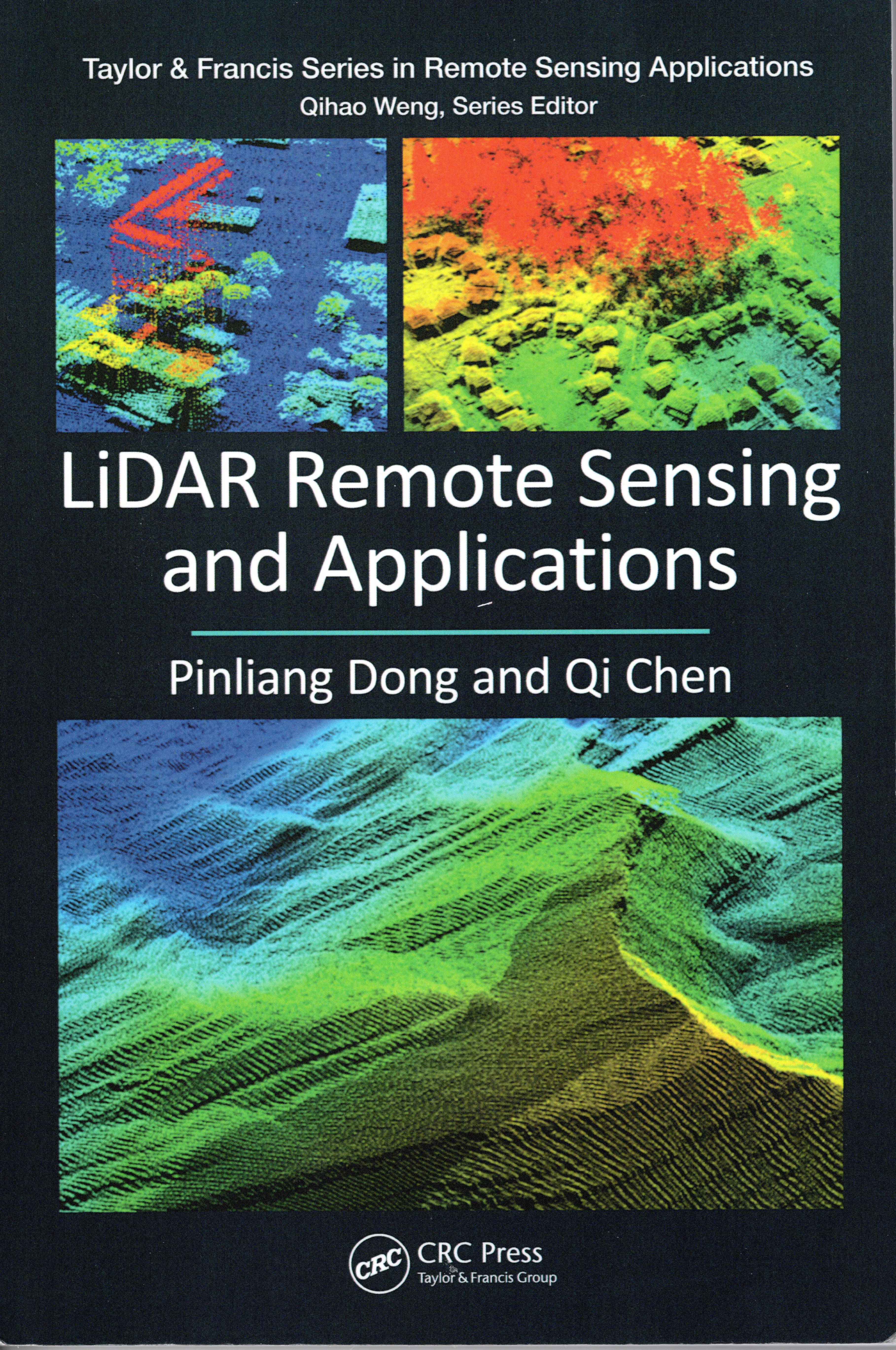
Pinliang Dong and Qi Chen. CRC Press, Taylor & Francis Group, Boca Raton, Florida, 2018. 232 x 155 mm, xix + 200 pp, 40 color + 143 black and white illustrations, index. Paperback, ISBN 978-1-138-74724-1, $75.96.