Ten years ago, an aerial survey usually meant a manned aircraft, a mobilisation cost that ruled out anything but the largest jobs. Drones changed the economics fast, and most of the conversation since has been about speed: faster mobilisation, faster processing, lower cost per hectare.
The bigger shift is what UAV survey platforms have done for sites that were once barely surveyable at all.
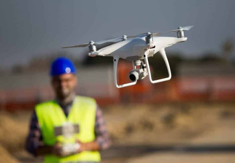
Reaching What Was Once Off-Limits
Until recently, a coastal slope that had just failed, a quarry face still being cut, or a flood-damaged corridor with no stable ground to stand on simply didn’t get surveyed to the same standard as a stable site. Sending a crew and a total station into that terrain carried real risk, and the resulting data, if it could be collected at all, often came with gaps.
A UAV survey removes the requirement that a person stand on the ground being measured. The aircraft does the work, and the crew stays on stable ground, or well clear of it altogether.
The same logic applies vertically. Roofs, large chimneys, communication towers, and building facades used to mean scaffolding, rope access, or a cherry picker before a single measurement was taken. The cost of reaching the vantage point often exceeded the cost of the survey itself. A drone reaches that vantage point in minutes and captures the same detail a rope-access inspector would, without the setup, the permits, or the exposure.
Heritage facades, damaged roof structures after a storm, and tall industrial assets are now routine UAV survey targets rather than specialist jobs requiring separate access contractors.
Photogrammetry and Lidar: Two Tools, Two Problems
Two sensing methods do most of the work here, and they solve different problems rather than competing for the same job.
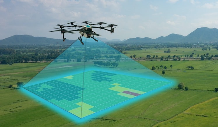
Photogrammetry, structure-from-motion built from overlapping RGB images, is the workhorse for open terrain: stockpile volumes, quarry faces, large corridors, construction progress capture. It’s comparatively inexpensive to deploy and produces textured, visually intuitive models that non-technical stakeholders can read at a glance.
A UAV lidar survey solves a different problem: it sees the ground under things. Laser pulses reach the surface through gaps in a canopy, and multi-return processing separates the vegetation hits from the bare-earth hits, producing a digital terrain model that photogrammetry alone can’t generate under cover. That’s the difference between a corridor survey that stops at “there is a forest here” and one that resolves the actual ground profile beneath it, which matters for anything from pipeline routing to floodplain modelling.
In practice, the split is simple: photogrammetry for open, well-lit terrain where visual detail matters, and lidar wherever vegetation, shadow, or ground clutter would otherwise defeat image-based reconstruction.
The Limits That Still Apply
None of this means a drone can go anywhere. In Australia, flying near controlled aerodromes or beyond visual line of sight still needs CASA approval, and most other countries have similar rules. Wind, rain, and poor light interrupt missions the same way they always have, and a large site may still need multiple flights and battery swaps to cover fully. Dense urban canyons, cluttered with overhead cabling and reflective glazing, can still challenge both photogrammetry and lidar in different ways.
Drones have raised the ceiling on what’s surveyable. They haven’t removed it.
How Accurate Is Accurate Enough
Accuracy is the question that comes up first in almost every conversation about UAV survey data. The answer depends less on the drone than on the correction method behind it.
RTK or PPK-corrected GNSS positioning, paired with well-distributed ground control, gets a UAV survey to a greater level of accuracy than most people expect from an unmanned platform, close to what’s achievable with conventional total station or GNSS rover methods on the same site. Skip the correction and skip the ground control, and the same hardware produces a model with real value for visualisation but limited standing for anything requiring legal or engineering certainty.
The aircraft and sensor set the upper limit; the workflow around them decides whether a project actually gets there.
Where the Surveyor Still Fits In
That workflow point also answers the question of whether drone survey data replaces the need for a Registered Surveyor. It doesn’t. It changes what the surveyor spends their time on.
Mission planning, ground control placement, and quality assurance on the resulting model still require someone who understands survey accuracy standards and what a given deliverable can and can’t be used for. A point cloud or orthomosaic isn’t a legal document. The plan a Registered Surveyor signs off is – and that signature only goes on once they’ve checked the data against control, understood its limitations and confirmed what it’s fit to support, whether that’s a design drawing, a volumetric report, or a record for lodgement with private certifiers and local councils.
Aerial Capture as Part of a Bigger Toolkit
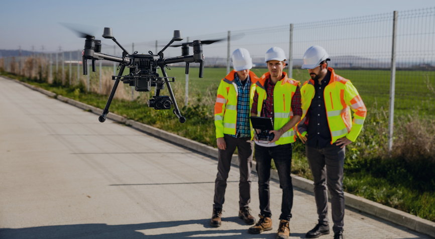
That’s also where aerial capture increasingly sits alongside other reality-capture methods rather than replacing them. Many practices offering 3D survey and laser scanning services now build a UAV flyover into the same site visit as a terrestrial scan, closing out sightlines that a tripod-mounted scanner can’t reach on its own. C&A Surveyors, for example, includes the aerial pass in its more comprehensive laser scanning packages as a built-in capture option rather than an add-on that needs a separate booking.
Brought into the same coordinate system and the same deliverable set, the aerial pass stops being a separate specialty and becomes one more capture method among several.

