Graz, Austria • September 15, 2026 — Live from Intergeo 2026 in Munich, Vexcel Imaging today announced the UltraCam Condor 5.0, a new aerial mapping system designed for wide-area and nationwide geospatial data collection. With up to 83,000 pixels across the flight strip, the Condor 5.0 captures more ground in a single pass than any aerial mapping system to date. Combined with a new reconstruction approach in UltraMap designed for challenging image geometries, it delivers reliable photogrammetric-grade DSM, DTM, and orthophoto products across the largest aerial footprint ever deployed for mapping.
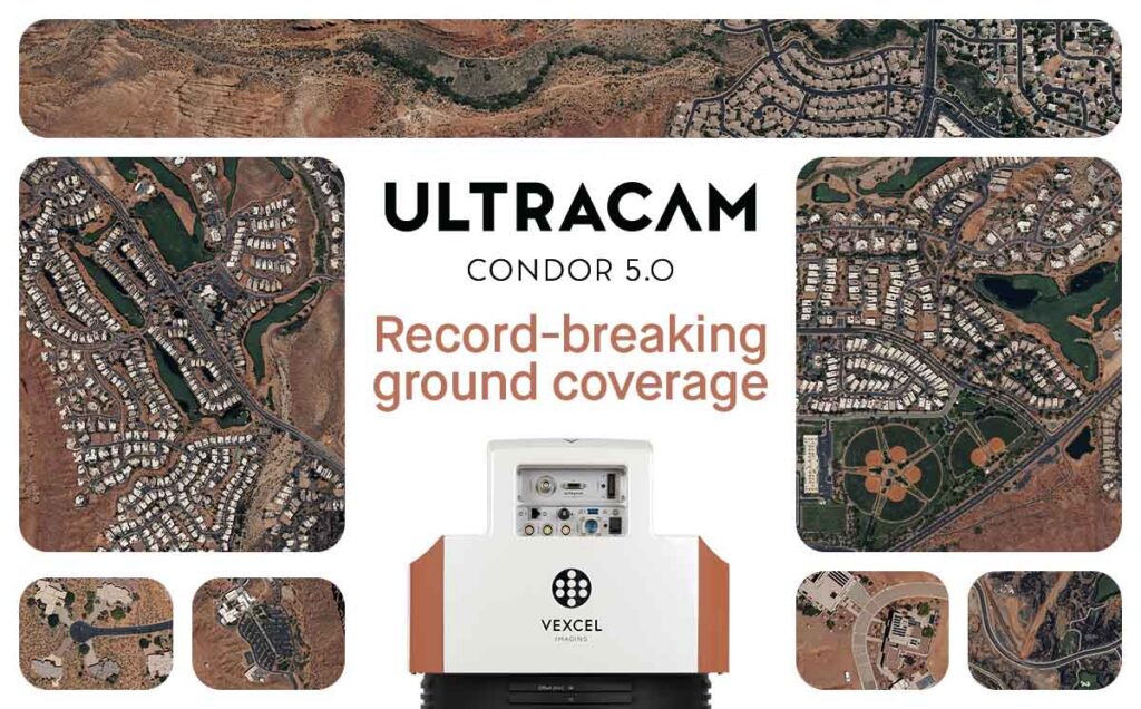
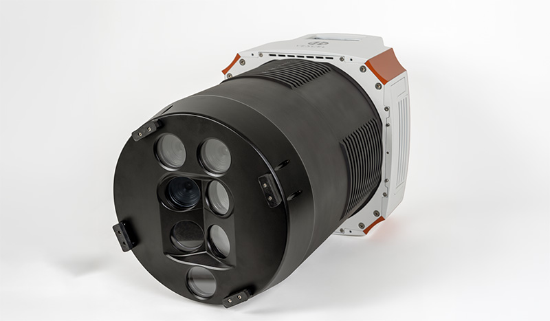
The UltraCam Condor 5.0 will be available in multiple models with cross-track image widths ranging from 57,800 to 83,000 pixels. Built around advanced Sony IMX811 Bayer-pattern CMOS sensor technology – the same 247-megapixel, 2.81 µm pixel sensors that Vexcel has adopted since 2025 across its current UltraCam portfolio – the Condor 5.0 collects four spectral channels (RGB Bayer pattern and NIR), combining a true-nadir core with precisely aligned center cones and slightly tilted outer cones to maximize coverage while maintaining geometric consistency across its ultra-wide footprint. Three focal-length options (f90, f120, and f150) together with exchangeable lens kits on selected models, give operators the flexibility to tailor each system to their preferred balance of image quality, productivity, and flight efficiency across a wide range of mapping missions and flying altitudes.
Compared to its predecessor, the Condor 5.0 delivers up to 71% more coverage across the flight strip. This significant increase in swath width translates to proportionally fewer flight lines for the same project area, reducing flight time, fuel consumption, and operational costs for large-scale mapping programs.

“With the UltraCam Condor 5.0, we are redefining the limits of wide-area mapping,” said Alexander Wiechert, CEO of Vexcel Imaging. “It enables our customers to reach a new level of mapping productivity, covering vast regions of thousands of square kilometers without compromising quality. I’m incredibly proud of the team behind this achievement.”
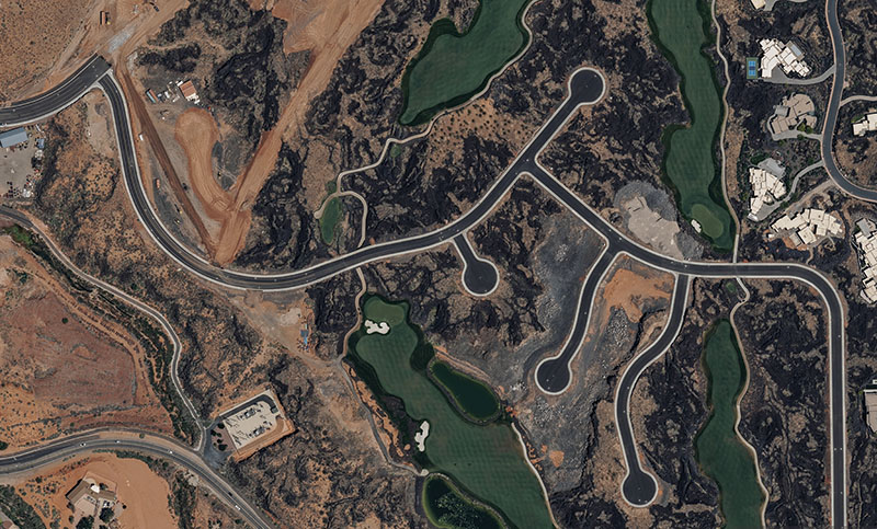
The UltraCam Condor 5.0 was developed alongside UltraMap, Vexcel’s end-to-end photogrammetric processing environment. UltraMap’s new machine learning-based reconstruction pipeline is designed to deliver clean, reliable surface reconstruction for consistent, photogrammetric-grade DSM, DTM, and orthophoto generation across the Condor’s ultra-wide image geometry.
Together with True Pixel Processing (TPP), UltraMap transforms raw UltraCam data into radiometrically aligned aerial imagery while preserving as much original pixel information as possible from initial exposure through final product generation. This includes Adaptive Motion Compensation (AMC), which reduces motion-induced image blur in a scene-adaptive manner across all directions of motion.
With capture rates of up to one image every 0.7 seconds, five different models, and the world’s largest aerial camera footprint, the UltraCam Condor 5.0 is designed to help geospatial professionals efficiently address nationwide and regional mapping programs with fewer flight lines, reduced flight effort, and greater operational efficiency.
The first UltraCam Condor 5.0 model is scheduled to be available in spring 2027.
Key Specifications
- Cross-track image width: 57,800 – 83,000 pixels (model-dependent)
- Sensor: Sony IMX811 CMOS, 247 MP, 2.81 µm pixel size
- Spectral channels: 4 channels – RGB Bayer pattern & NIR
- Focal lengths: f90, f120, f150 (exchangeable lens kits on selected models)
- Optical design: True-nadir core with precisely aligned center cones and slightly tilted outer cones
- Min. capture time interval: 0.7 seconds
- Motion compensation: Adaptive Motion Compensation (AMC)
- Data products: Stereo imagery, DSM, DTM, orthophoto, 3D TIN
About Vexcel Imaging
Vexcel Imaging is a global leader in aerial imaging, renowned for its industry-leading UltraCam aerial cameras and hybrid camera-LiDAR mapping solutions. These systems deliver unmatched flying efficiency and exceptional data quality, ensuring best-in-class performance for every application. Outputs include photogrammetric imagery, LiDAR point clouds, and other derived products. The fully integrated UltraMap photogrammetric processing software enhances project workflows with advanced automation, efficient data interaction, and intuitive tools, enabling the creation of DSMs, DTMs, orthoimages, and 3D data of the highest standard. For more information about Vexcel Imaging, please visit: vexcel-imaging.com.

