3D scan data can do more than just help with historic preservation—it can also act as a record of history and archaeology. In a recent video, I show how older 3D laser scanners and their data are still useful. This example proves these tools can still make a big difference, even years after they first came to market or were seen as the latest technology.
The video in question focuses on the scanning of cave one at Cerro San Juan in Guatemala and showcases a collaboration between the author, Professor Brent Woodfill of Winthrop University (Figure 1), and independent consultant Eric Richie (Figure 2). Spring used a Z+F Imager 5010C to document the site in 2016.
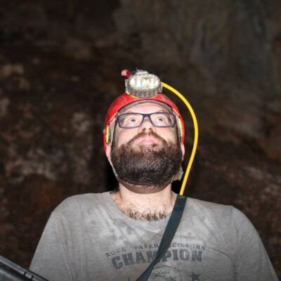
Figure 1: Professor Brent Woodfill, PhD.

Figure 2: Eric Richie, drone commander, now with Turner Construction.
The Z+F Imager 5010C (Figure 3) was selected for this project for several key reasons:
- Challenging site conditions: The remote location required equipment that could perform reliably.
- Need for detailed 3D documentation: It was essential to record the site in detail from varying distances, as there might not be another opportunity to apply reality capture technologies at Cerro San Juan.
- Future usability: The team prioritized gathering as much useful and actionable information as possible for long-term use.
The 5010C met these requirements thanks to Z+F USA’s focus on quality assurance and quality control (QA/QC). Their Imager line of scanners is known for accurate, high-resolution, and consistent results. In addition, Z+F’s approach to data management ensured that their .zfs, .zfi and .zfprj file formats were easy to archive and share. These relatively small files were especially well-suited for heritage preservation, owing to the commitment Z+F USA has to backwards compatibility with all of its hardware.
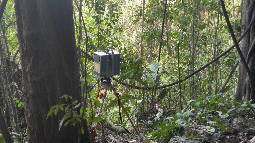
Figure 3: Z+F Imager 5010C on-site at Salinas de los Nueve Cerros in west-central Guatemala.
The scanner’s onboard camera also provided unexpected benefits beyond its main purpose of adding color to the laser-generated 3D point clouds (Figures 4 and 5). Designed to produce high-quality gigapixel images, the camera captured photographs that could be stitched together into seamless 360-degree panoramas. These images – which are exportable from the software LaserControl as .jpg files – were then used to create virtual tours of cave one at Cerro San Juan. This innovative outcome was unique to the 5010C at the time.
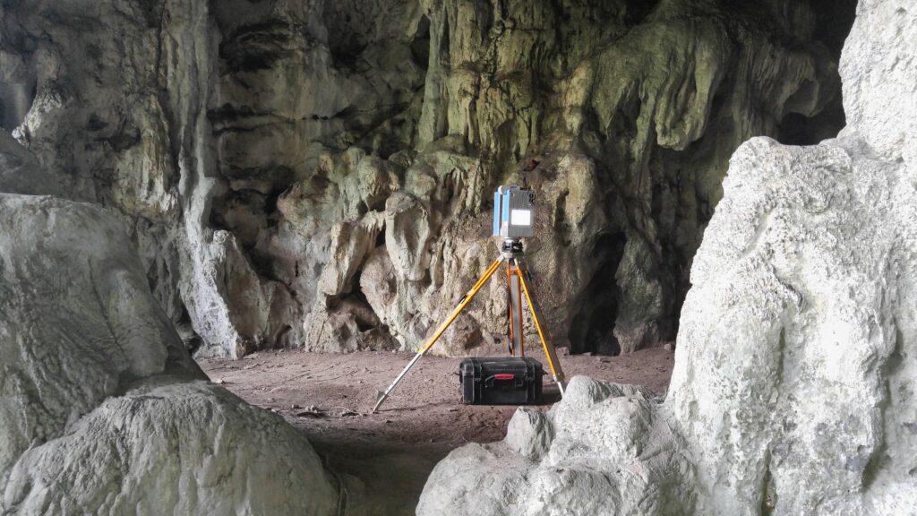
Figure 4: Z+F Imager 5010C in cave one at Cerro San Juan.
Results from the Z+F Imager 5010C remain impressive even by today’s standards. Its laser system captured intricate details of uneven surfaces, even in areas where shadows or obstacles might block data collection of complete surfaces. It also provided excellent close-range detail, such as parts of the scanner tripod seen in the video.

Dr Adam P. Spring at work with the 5010C in cave one at Cerro San Juan.
Cerro San Juan is a large pyramidal hill located near the ancient Mayan site of Salinas de los Nueve Cerros in west-central Guatemala. The three caves at Cerro San Juan were sacred to the local Mayan population and played a role in rituals connected to salt production two thousand years before Spanish conquest.
After Spanish conquistadors arrived in the 1550s, many Mayans were forced to leave the area. The caves remained unused until the late 20th century, when Q’eqchi’ Maya people returned to the region.