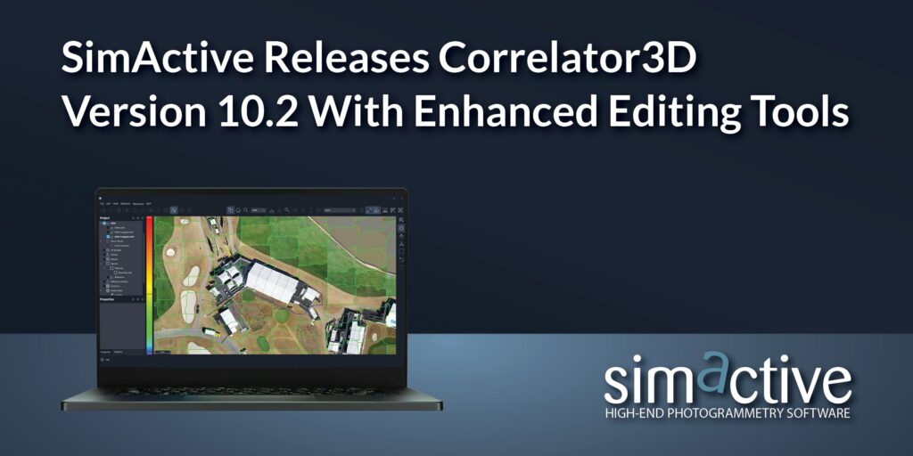
Montreal, Canada, August 13th, 2024 – SimActive Inc., a world-leading developer of photogrammetry software, announces the release of Correlator3D™ Version 10.2. This latest version introduces a complete overhaul of mosaic editing tools, designed to significantly reduce editing effort. Additionally, it includes new point cloud editing tools to streamline the output and save post-process editing time.

Interaction with seamlines is now more intuitive, with numerous visual aids added to enhance user experience, and all modifications are applied in real-time. Users can now also specify a specific ortho image to be used from those available over a given scene. This allows, for example, the ability to remove vehicles or to select the most nadir image offering complete coverage of a structure creating a more refined output mosaic.
“The new mosaic editing tools in Version 10.2 are a real game changer in terms of productivity and cost reduction,” said Louis Simard, CTO at SimActive. “Version 10.2 reduces time spent editing, with both mosaics and point clouds using our refined tools.”
About SimActive
SimActive is the developer of Correlator3D™ software, a patented end-to-end photogrammetry solution for the generation of high-quality geospatial data from satellite and aerial imagery, including drones. Correlator3D™ performs aerial triangulation (AT) and produces dense digital surface models (DSM), digital terrain models (DTM), point clouds, orthomosaics, 3D models and vectorized 3D features. Powered by GPU technology and multi-core CPUs, Correlator3D™ ensures matchless processing speed to support rapid production of large datasets. SimActive has been selling Correlator3D™ to leading mapping firms and government organizations around the world, offering cutting-edge photogrammetry software backed by exceptional customer support. For more information, visit www.simactive.com.