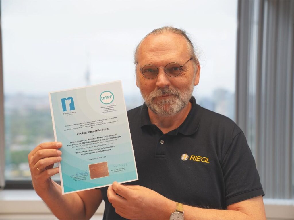
The paper “Investigation of systematic depth measurement errors in UAV-based laser bathymetry”, prepared by Roland Schwarz, RIEGL Senior Engineer Software Development, together with project partners from the Vienna University of Technology, was awarded the Photogrammetry Prize of the German Society for Photogrammetry, Remote Sensing and Geoinformation e.V. for the best contribution to the 2024 conference proceedings at the DGPF Annual Conference in Remagen.
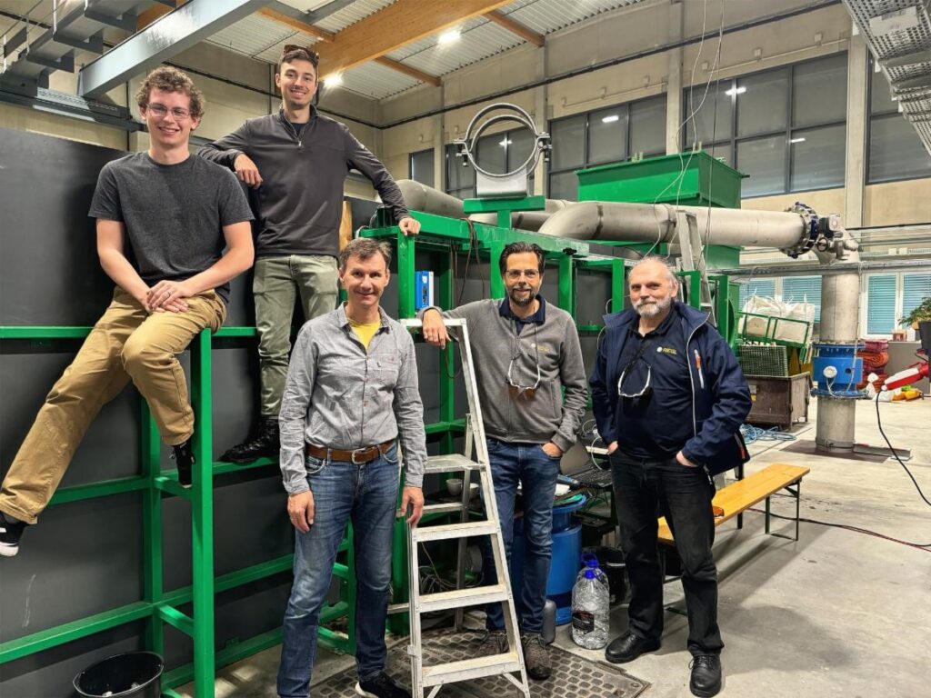
In recent years, UAV-based laser bathymetry has been established as an efficient measurement method for the 3D mapping of the shallow water zone of relatively clear water bodies with high spatial resolution. The achievable penetration depth of more than twice the Secchi depth often tends to be greater than with classic, aircraft-based laser bathymetry. Systematic depth deviations from independent reference measurements have, however, been repeatedly observed, with a tendency to overestimate the water depth. It is suspected that the observed effects are related to water turbidity, which means that unrealistically large refraction coefficients > n=1.4 would have to be used to compensate for the deviations in the course of refraction correction. An experiment was carried out under controlled measurement conditions in the hydraulic engineering laboratory of the Vienna University of Technology in order to empirically prove the suspected correlation with turbidity.
The full article has been published in the proceedings of the 44th Annual Scientific and Technical Conference of the German Society for Photogrammetry, Remote Sensing and Geoinformation (March 13-14, 2024, Remagen, Germany) and can be accessed on the DGPF website (conference book). For your convenience we have prepared an English summary which is available here.
About RIEGL
RIEGL is an international leading provider of cutting-edge technology in airborne, mobile, terrestrial, industrial and UAV-based laser scanning solutions for applications in surveying. RIEGL has been producing LiDAR systems commercially for over 40 years and focuses on pulsed time-of-flight laser radar technology in multiple wavelengths. RIEGL’s core smart-waveform technologies provide pure digital LiDAR signal processing, unique methodologies for resolving range ambiguities, multiple targets per laser shots, optimum distribution of measurements, calibrated amplitudes and reflectance estimates, as well as the seamless integration and calibration of systems. RIEGL’s Ultimate LiDARTM 3D scanners offer a wide array of performance characteristics and serve as a platform for continuing Innovation in 3D for the LiDAR industry. From the first inquiry, to purchase and integration of the system, as well as training and support, RIEGL maintains an outstanding history of reliability and support to their customers. Worldwide sales, training, support and services are delivered from RIEGL’s headquarters in Austria and in the USA; main offices in Japan, China, Hong Kong, Australia, Canada, UK, and Germany; and a worldwide network of representatives. www.rieglusa.com www.riegl.com
