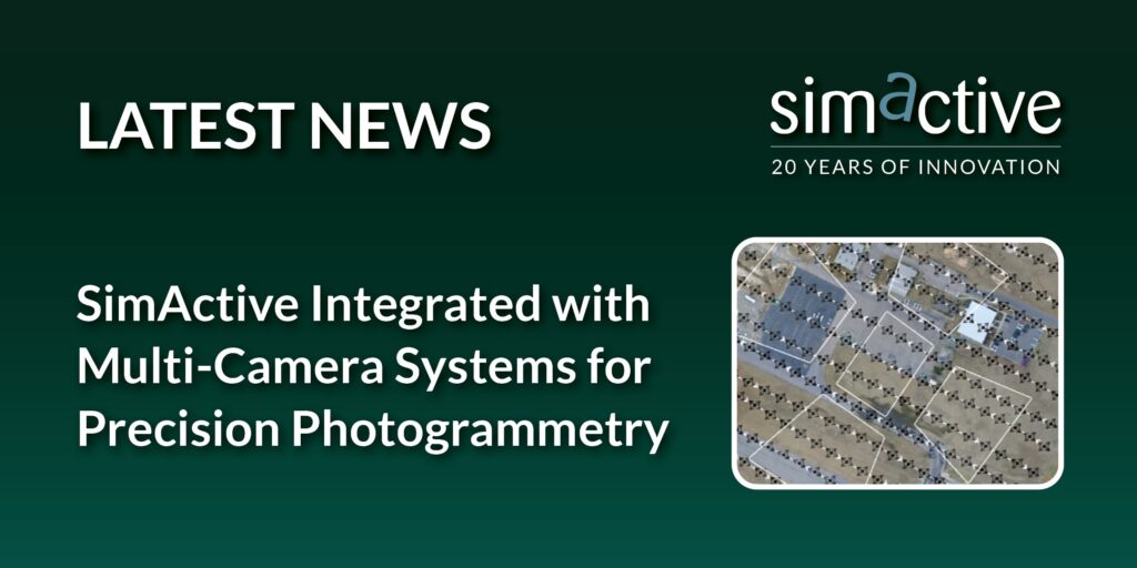
Montreal, Canada, April 16th, 2024 – SimActive Inc., a world-leading developer of photogrammetry software, announces the use of its Correlator3D™ product with integrated multi-camera systems to deliver a wider variety of photogrammetry products. The sensors in such systems include oblique, infrared and multispectral and are mounted on either drones or aircraft.
Correlator3D allows users to import and setup multiple cameras, leading to a robust aerial triangulation process. Each camera is corrected for position and displacement relative to others within the image processing group.
“Supporting our users’ need to import imagery from multiple sensors and correctly define their relative parameters sets Correlator3D apart from others” said Louis Simard, Chief Technical Officer with SimActive. “Only then can you merge these sensors and create accurate mapping deliverables.”
About SimActive
SimActive is the developer of Correlator3D™ software, a patented end-to-end photogrammetry solution for the generation of high-quality geospatial data from satellite and aerial imagery, including drones. Correlator3D™ performs aerial triangulation (AT) and produces dense digital surface models (DSM), digital terrain models (DTM), point clouds, orthomosaics, 3D models and vectorized 3D features. Powered by GPU technology and multi-core CPUs, Correlator3D™ ensures matchless processing speed to support rapid production of large datasets. SimActive has been selling Correlator3D™ to leading mapping firms and government organizations around the world, offering cutting-edge photogrammetry software backed by exceptional customer support. For more information, visit www.simactive.com.
