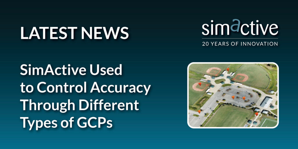
Montreal, Canada, March 19th, 2024 – SimActive Inc., a world-leading developer of photogrammetry software, announces the use of its Correlator3D™ product along with GCP’s to enhance, extend and validate photogrammetry projects. GCPs are critical in photogrammetry projects, but there is always a trade-off in the number of points that must be collected and the associated costs.
Correlator3D allows users to import their collected GCP’s or to load previously acquired GCPs by 3rd party vendors such as CompassData. The software also enables to import existing surfaces, such as Lidar points, which can then be used to extract GCP’s. The ability to manually create GCPs from an existing surface is beneficial to supplement field collected GCP’s where more density is needed.
“Our GCP archive contains over 70,000 points worldwide” said Philipp Humel, Vice President of CompassData. “When used with high-end photogrammetry software such as Correlator3D, and in combination with manually collected surface derived GCP’s, users can validate the accuracy of their projects.”
About SimActive
SimActive is the developer of Correlator3D™ software, a patented end-to-end photogrammetry solution for the generation of high-quality geospatial data from satellite and aerial imagery, including drones. Correlator3D™ performs aerial triangulation (AT) and produces dense digital surface models (DSM), digital terrain models (DTM), point clouds, orthomosaics, 3D models and vectorized 3D features. Powered by GPU technology and multi-core CPUs, Correlator3D™ ensures matchless processing speed to support rapid production of large datasets. SimActive has been selling Correlator3D™ to leading mapping firms and government organizations around the world, offering cutting-edge photogrammetry software backed by exceptional customer support. For more information, visit www.simactive.com.
About CompassData, Inc.
Formed in 1994 in Centennial Colorado, and Incorporated in 2003 as a Woman Owned Small Business CompassData is a family of companies led by Chief Executive Officer, Kate Schlatter and Executive Vice President, Hayden Howard. The CompassData “Control Freaks” have collected over 70,000 Ground Control Points across six of the seven continents. We don’t have Antarctica…. Yet! CompassData is proud to offer the industry’s largest commercially available archive of Ground Control Points around the world which can be used for orthorectification, airport mapping, data verification, and sensor calibration. For more information, visit www.compassdatainc.com.
