Graz, Austria • February 16, 2024:The Centre for Geographic Information Systems (CGIS), the State of Qatar’s official geospatial agency under the Ministry of Municipality, acquired the very first UltraCam Osprey 4.1 photogrammetric nadir and oblique aerial camera system in the region.

Vexcel Imaging and Khatib & Alami collaborated on a tender from the State of Qatar in 2021, and they successfully secured the bid. The advanced mapping and survey equipment solution purchased by CGIS goes beyond the UltraCam Osprey 4.1 system, encompassing the entire UltraMap processing suite, which includes five modules. Additionally, CGIS acquired a RIEGL laser scanner 780II-S and a RIEGL 880-GII bathymetric sensor for installation in a new DA62 MPP Survey Star from Diamond Aircraft.
CGIS was confident by Vexcel Imaging’s UltraCam Osprey 4.1 capabilities due to its industry-leading image quality and state-of-the-art technology, particularly the innovative and proprietary Adaptive Motion Compensation (AMC) approach. This unique software-based solution effectively eliminates blur not only in the flight direction but also in all other directions while compensating for scale differences in oblique imagery.
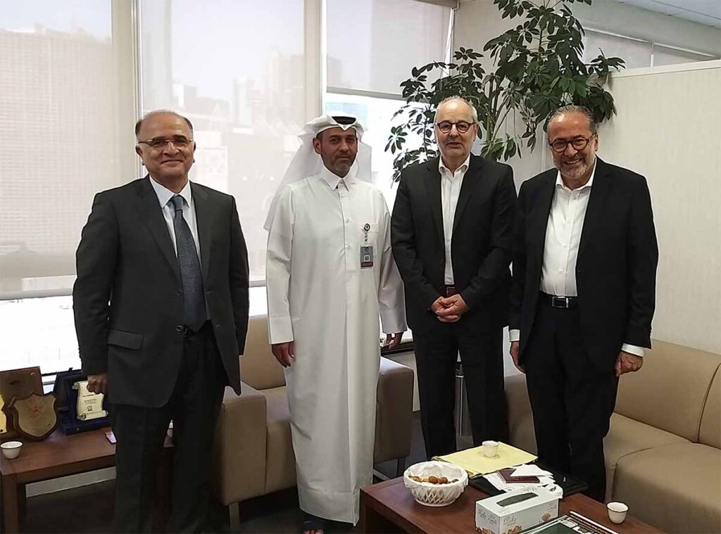
“We are proud to introduce the UltraCam Osprey 4.1 and UltraMap software suite to our geospatial toolkit”, says Manaf Al Sada, CGIS Director. “Vexcel Imaging’s reputation for industry-leading technology and world-class support aligns perfectly with our mission at CGIS. We are confident that this partnership will enhance our capabilities and contribute to our continued success in serving the State of Qatar.”
To validate the capabilities of the UltraCam Osprey 4.1 and the UltraMap Software suite, a project was executed over Doha in June 2023. This project offered CGIS firsthand experience, showcasing the high quality and operational efficiency delivered by Vexcel Imaging’s geospatial solutions.
Alexander Wiechert, CEO of Vexcel Imaging states: “We are thrilled to have CGIS, the prestigious geospatial agency of the State of Qatar, as our esteemed customer. Their choice of Vexcel Imaging’s solutions underscores our commitment to delivering the highest quality and innovation. We eagerly anticipate a great partnership, which will ensure that CGIS remains at the forefront of geospatial technology.”
This remarkable milestone signifies a significant achievement in Vexcel Imaging and Khatib & Alami’s shared mission to deliver state-of-the-art geospatial solutions to clients throughout the Middle East, and it is poised to make a lasting impact on the geospatial landscape in the region.
About Vexcel Imaging
Vexcel Imaging is a global leader in aerial imaging, known for developing cutting-edge aerial cameras, mapping systems, and photogrammetric processing software. The UltraCam 4th generation system lineup includes the high-precision Premium line, renowned for its exceptional quality and accuracy. This line comprises the highly successful UltraCam Eagle 4.1, UltraCam Osprey 4.1, and UltraCam Condor 4.1. The UltraCam Merlin 4.1 models form the Fundamental line, designed to meet fundamental imaging needs of aerial applications. The Integrated line is represented by the UltraCam Dragon 4.1, combining LiDAR with nadir and oblique image data. Covering all aspects of airborne photogrammetry, our portfolio is complemented by the UltraMap photogrammetric processing software, automating data product generation. This includes point clouds, digital surface and terrain models, orthophotos, and 3DTINs. We take pride in offering world-class support and maintaining a commitment to continuous product development.
About Khatib & Alami
Khatib & Alami (K&A) is a multidisciplinary design consultancy which operates primarily across the Middle East & Africa, Levant, Central and South-East Asia, and Europe. Established more than five decades ago by two university professors, everything we do is based on the principles of professional excellence, integrity and social responsibility. Khatib & Alami is proud to have worked on some of the world’s most challenging projects, from iconic buildings and transformational masterplans to record-breaking rail networks and life-critical water supplies. Learn more here: khatibalami.com
About CGIS (Ministry of Municipality)
Qatar has established a nationwide GIS center since 1992. Today there are more than 120 Government and Semi-Government agencies integrated with this system sharing GIS data and using in their day to day work. Qatar authorities set the objectives for a nationwide GIS on a top to bottom approach. CGIS is part of the Ministry of Municipality. CGIS is the official geospatial agency in the State of Qatar. Learn more here: gisqatar.org.qa
