Graz, Austria • January 24, 2024:Leading Czech geospatial technology firm, TopGis, has reinforced its commitment to delivering cutting-edge 3D interactive city visualizations with the recent acquisition of the UltraCam Osprey 4.1 from Vexcel Imaging.
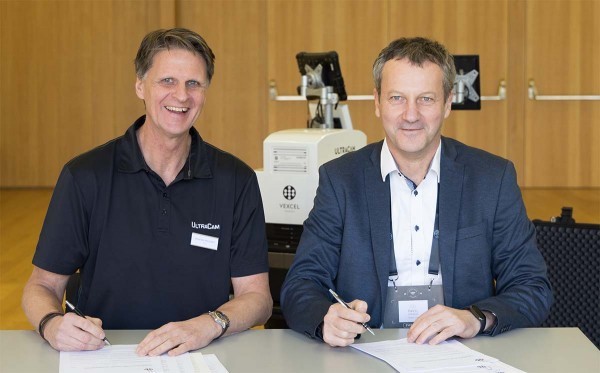
(l) Alexander Wiechert, CEO at Vexcel Imaging, (r) Pavel Strasak, Chairman of the Board at TopGis.
With a decade-long expertise in creating immersive 3D city visualizations, TopGis has continually set industry standards. The decision to invest in the UltraCam Osprey 4.1 reflects TopGis’ dedication to obtaining higher quality geospatial data and documenting intricate details in their projects.
Since 2013, TopGis has successfully executed oblique imaging projects in 231 cities across the Czech Republic and Slovakia, ranging from metropolitan hubs to quaint towns. Utilizing proprietary technology based on PhaseOne cameras, TopGis has been at the forefront of advancing the field of 3D visualization.
With the UltraCam Osprey 4.1, TopGis aims to obtain higher quality data and the ability to document greater detail. The strategic move to incorporate the UltraCam Osprey 4.1 aligns with the evolving landscape of 3D worlds and digital twins. The shift towards widespread oblique imaging reinforces the significance of using cutting-edge technology, making the UltraCam Osprey 4.1 the ideal choice for TopGis.
“We believe that the UltraCam Osprey 4.1 will empower us to elevate our capabilities, providing our clients with even more detailed and accurate 3D visualizations,” said Pavel Strasak, Chairman of the Board at TopGis. “This investment is not only about achieving higher quality data but also expanding our footprint in other European Union countries, leveraging the capabilities of the UltraCam Osprey 4.1 for new and exciting projects.”
The UltraCam Osprey 4.1 is renowned for its exceptional image quality, versatility, and efficiency. Distinguished by a high-resolution nadir PAN channel and Adaptive Motion Compensation (AMC), it ensures superior performance in dynamic imaging scenarios, making the system the top choice for geospatial professionals worldwide.
“We are delighted to see TopGis, a leader in 3D city visualizations, choose the UltraCam Osprey 4.1 to enhance their capabilities,” said Alexander Wiechert, CEO at Vexcel Imaging. “This collaboration reinforces our commitment to providing state-of-the-art imaging solutions that empower our clients to achieve their goals.”
TopGis looks forward to pushing the boundaries of geospatial technology with the UltraCam Osprey 4.1 and anticipates exciting new projects and collaborations in the coming months.
About TopGis
TopGis is a Czech-based geospatial technology firm with over a decade of experience in creating 3D interactive city visualizations. Renowned for their proprietary technology and innovative solutions, TopGis continues to set industry standards in the field of geospatial technology. For more information, visit topgis.cz.
About Vexcel Imaging
Vexcel Imaging, a leader in aerial photogrammetry and remote sensing solutions, provides cutting-edge imaging and hybrid mapping systems plus photogrammetry software for geospatial applications. With a commitment to delivering high-quality and efficient solutions, Vexcel Imaging empowers professionals to achieve their geospatial goals.
