NV5 Geospatial and Aerial Services Inc. Highlighted for Ground-Breaking 3D Elevation Derived Hydrography Project to Map Waterways Across the State
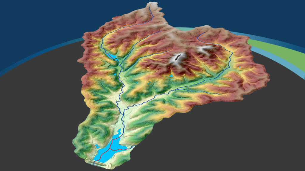
Hollywood, Fla., December 6, 2023 – NV5 Geospatial, North America’s most comprehensive geospatial data firm, and its partner Aerial Services Inc. (ASI) recently received the Conservation Innovation Partner Award from the Missouri Conservation Heritage Foundation and the Missouri Department of Conservation. The companies were honored for their work to map streams, rivers, lakes and ponds in southern Missouri. The culmination of this work delivers 3D elevation derived hydrography (EDH) data that supports the state’s conservation efforts and aligns with the United States Geological Survey (USGS) 3D Hydrography Program (3DHP).
“We are proud to be recognized for the important work we are doing with ASI,” said Andrew Brenner, Ph.D., vice president of Solutions Engineering, NV5 Geospatial. “This partnership with the Missouri Department of Conservation and ASI has a vision of developing current and accurate water data across the state that will support multiple agencies, organizations and municipalities. The data will provide detail that did not exist before and support decision makers managing Missouri’s vital water resources and the ecosystems they support.”
NV5 Geospatial is a leader in developing EDH, having worked with the USGS from the initial concept and pilot program in 2016 covering five geographically distinct sites across the lower 48 states through current specifications. NV5 Geospatial has completed numerous EDH projects, including mapping more than 75,000 square miles in Alaska, producing the first operational CONUS EDH dataset for the USGS in Texas, supporting Michigan’s development of statewide 3DHP, mapping six watersheds in Pennsylvania and integrating the 3DHP overland/surface flow line with the District of Columbia’s storm sewer network. In 2023 alone, NV5 Geospatial was awarded eight 3DHP projects.
In Missouri, NV5 Geospatial has undertaken ground-breaking work to create the next generation of hydrography starting with five watersheds and mapping the network connecting the streams, rivers, lakes and ponds in this region. Using lidar collected as part of USGS’s 3D Elevation Program (3DEP), NV5 Geospatial created the new hydrography that will replace the National Hydrography Dataset (NHD), transferred attributes to the dataset, and created drainage basins for each stream segment. These data were created to align with the 3DHP specifications.
In addition to the standard 3DHP specifications, NV5 Geospatial has worked closely with Missouri Department of Conservation, which is leading the efforts to enhance the dataset to:
- Accommodate shallow sinks caused by the Karst geology
- Create a dataset of bankfull approximation polygons for all mapped river valleys that will support ecological and flood analysis
- Demonstrate how the data can be used to support the update of spring locations and wetlands for the state
For more information on NV5 Geospatial’s EDH work, visit the company’s website.
About NV5 Geospatial
NV5 Geospatial is a provider of geospatial services, providing end-to-end solutions and insights to organizations that need geospatial intelligence to mitigate risk, plan for growth, better manage resources and advance scientific understanding. We combine the widest array of advanced remote sensing technologies with proprietary processes, analytics tools, algorithms, and analyses tailored to meet our clients’ needs. For more information visit nv5geospatial.com, join us on LinkedIn, or follow us on Twitter @nv5geospatial.
