In recent years, the United States has made remarkable progress in the field of lidar mapping through its ambitious 3D Elevation Program (3DEP). This program, managed by the U.S. Geological Survey (USGS), has successfully covered 89.5% of the nation with high-resolution, homogeneous, continuous, and accurate elevation data[1]. This achievement has provided valuable insights and paved the way for crucial decision-making processes. However, a different and complex panorama emerges as we turn our attention across the Atlantic to Europe.
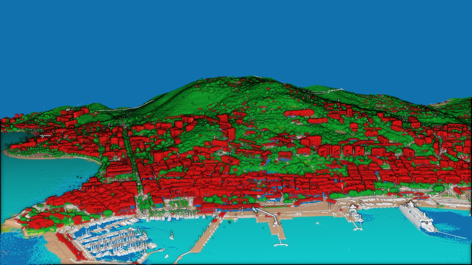
Ajaccio, France – classified pointcloud. © Institut national de l’information géographique et forestière (IGN), France.
The European Union (EU) still does not regulate mapping activities; instead, this responsibility lies with its Member States. Consequently, lidar coverage in Europe is regulated at the national level, leading to variations and unique characteristics among different countries. In fact, many European countries have not implemented a nationwide lidar coverage plan, instead opting for regional or local initiatives based on their political history and geographic traits. This regional approach has resulted in differing levels of coverage, where some areas have extensive lidar data available, while others are still in the early stages of implementation. Ultimately, access to funding will be a pivotal factor, since in many cases the public agencies that carry out the lidar coverage do not have their own funds, but other public organisms commission their services for specific projects (for example, controlling areas at risk of flooding, monitoring the forests).
The European Association of Aerial Surveying Industries (EAASI) has reached out to representatives from national mapping agencies across the continent to gain insights into the status of lidar mapping in their respective countries. The Association comprises over 50 companies, including the most influential players in Europe’s aerial mapping sector. Since its creation in 2019 it has actively advocated for a more consistent approach in terms of standards, rules, and certifications.
It is against this backdrop that we embark on a journey to explore lidar coverage in Europe. A range of experiences emerges, highlighting the challenges and achievements of individual nations within a larger European context. Due to time and space limitations, we could only include six countries in this article, but a second installment is in preparation.
Denmark
Denmark has achieved comprehensive lidar coverage three times since 2007. The country was initially covered with a point density of 0.5 points/m² in 2007, followed by 4-6 points/m² in 2014-15, and currently 8-10 points/m² for the period 2018 to 2023. The decision on point density was influenced by factors such as price and the evolving focus from terrain to vegetation and infrastructure, including building models and power lines.
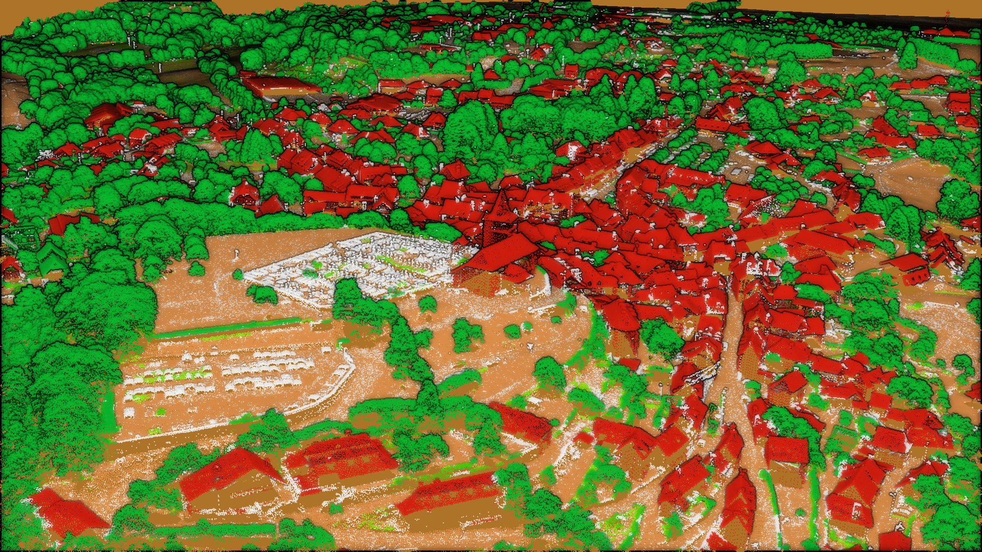
Laguiole, France – classified pointcloud. © Institut national de l’information géographique et forestière (IGN), France.
In terms of innovative applications, Denmark’s Styrelsen for Dataforsyning og Infrastruktur is utilizing lidar data for various purposes, including 3D city modeling, power-line mapping, and vegetation determination. Particularly interesting is their work in machine learning, where lidar data is combined with oblique imagery to derive surface types. For this development extra-byte information such as waveform shape deviation and pulse width are used as extra layers to help guide the machine learning processes.
Finland
The National Land Survey of Finland (NLS) is responsible for acquiring laser data for its own needs and those of its state and cooperative partner organizations. This collaborative group, referred to as the KALLIO Cooperation Group, jointly finances the data acquisition.
The country has made significant strides in lidar mapping, achieving nationwide coverage with a point density of 0.5 points/m² from 2008 to 2019. This coverage excludes the outermost islets of the archipelago and the border between Finland and Russia due to operational constraints. Additionally, a laser-scanning program has been developed in collaboration with the KALLIO group since 2020. The program entails scanning Finland on a six-year cycle, with a 12-year program for Northern Lapland. Finland is currently in the fourth year of this program, with detailed information available on NLS’s website[2].
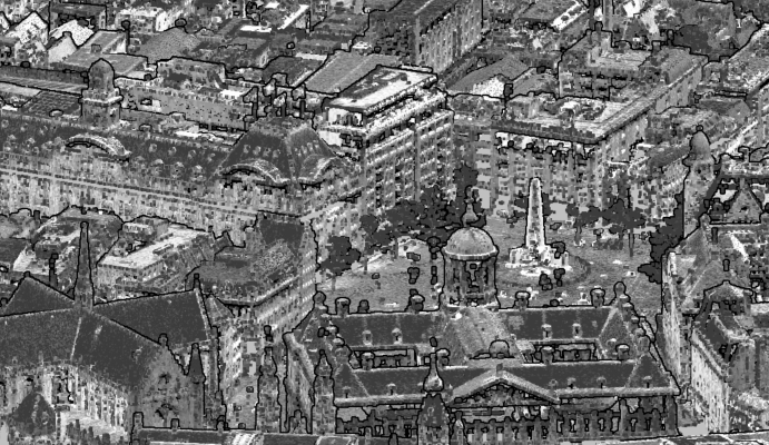
Center of Amsterdam, Netherlands – high-density point cloud. ©het Waterschapshuis, Netherlands.
In the first lidar coverage, the main purpose was the creation of a two-meter elevation model. Since 2020, the point density has been increased to 5 points/m². This higher density enables various applications, including forest inventory, 3D vectorization of buildings, updating elevation models, and maintaining the topographic database.
Regarding innovative applications of lidar technology, three initiatives are highlighted. The Finnish Forest Centre utilizes laser data for comprehensive forest inventory purposes, aiming to inventory all trees. NLS employs artificial intelligence (AI) and lidar data for building and hydrological network mapping, including ditches. Last, the KALLIO group has a shared processing platform where laser data can be securely processed.
France
France has made significant progress in lidar mapping. The Institut national de l’information géographique et forestière (IGN), the government agency for geographic and forest information in France, will achieve nationwide coverage for the first time in 2023. Previously, lidar acquisitions were limited to areas prone to flood risks, but the new project expands coverage throughout the entire country. France has chosen a point density of 10 points/m² for lidar data collection, allowing it to address multiple public policies such as flood risks, forest management, agriculture, land use planning, and archaeology.
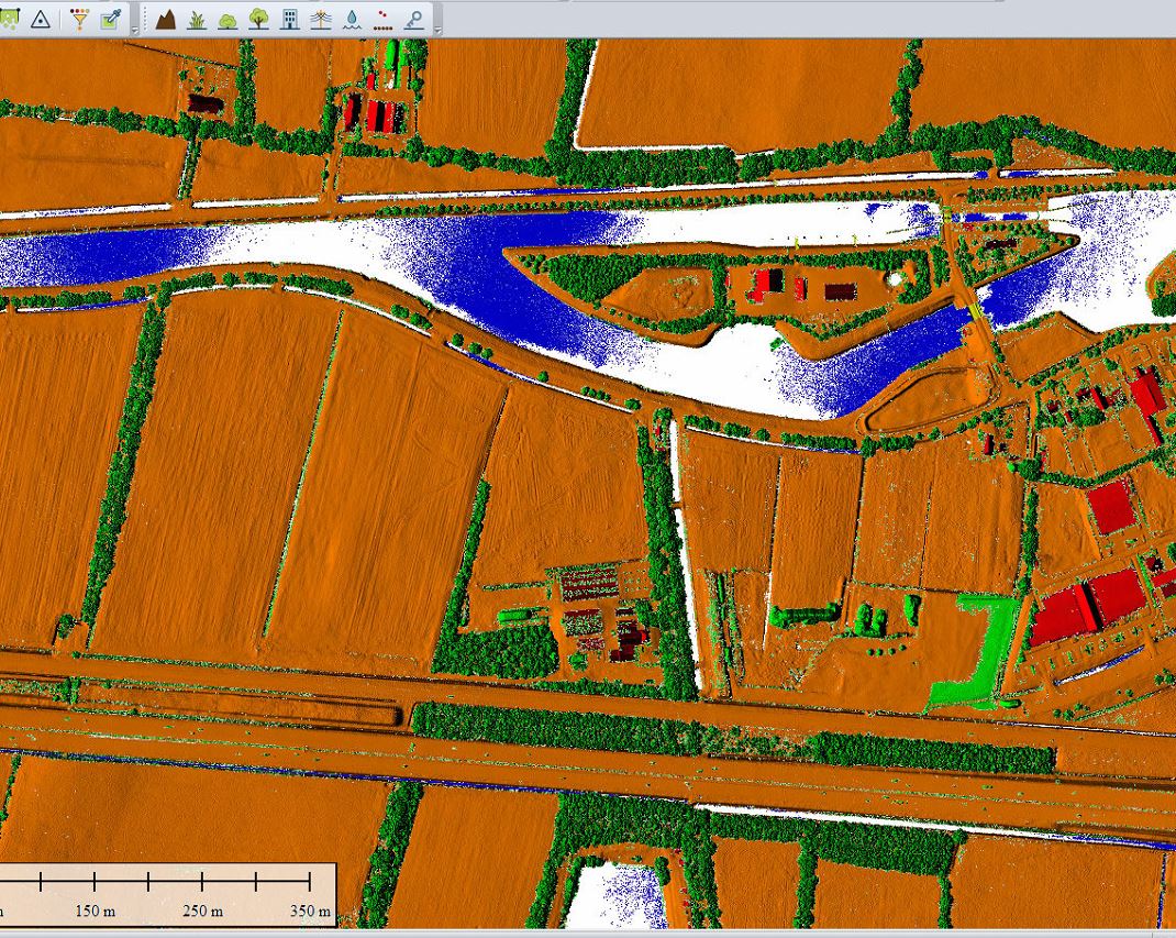
Sluis, Netherlands – data after classification. ©het Waterschapshuis, Netherlands.
In terms of innovation, France’s national mapping agency is incorporating AI algorithms into its lidar data classification process, enhancing accuracy and efficiency. Another relevant innovation is that it can broadcast lidar data directly from the cloud, eliminating the need for users to download it for visualization.
Netherlands
The unique geographic traits of the Netherlands, with a significant portion of the country located below sea level and a flat landscape, have driven the need for gathering geodata on a regular basis for water management and safety. In this regard, het Waterschapshuis, a connecting management organization representing 21 water boards, has been at the forefront of lidar initiatives in the country.
The Netherlands pioneered nationwide lidar coverage in Europe and has carried out multiple cycles. The initial coverage, from 1997 onwards, focused on capturing elevation data to support water safety initiatives. Subsequent cycles involved capturing a denser point cloud to achieve higher accuracy. Currently, the Netherlands is capturing data at a density of 10-15 points/m², with the aim of updating the national dataset every three years.
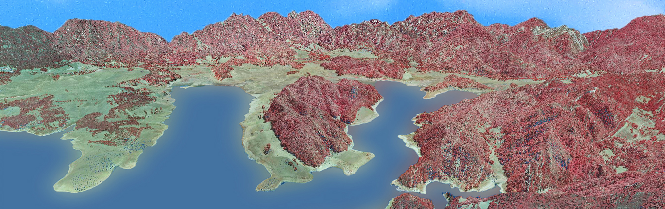
Barbate reservoir, Spain- infrared point cloud. © Instituto Geográfico Nacional (IGN), Spain.
In terms of technological innovations, the Netherlands is exploring combined lidar and imagery flights to optimize data collection. By synchronizing lidar and imagery programs, the country aims to capture higher-resolution imagery while maintaining the desired point cloud density. The integration of oblique images is also being considered to enhance data quality and provide a comprehensive dataset.
As the country has been captured 4-5 times already, the Netherlands is also conducting research on the geometric accuracy of the data acquired. Since 2018, Kadaster, the agency responsible for land registration and mapping, has adopted “dense matching” technologies in the imagery collection, resulting in an abundance of point clouds. Now, the focus lies on evaluating how well these point clouds align, taking into account their varying accuracies.
To ensure data quality and alignment, the Netherlands employs tie lines based on rooftops. By estimating surfaces for each part of the roof, the datasets’ congruence can be assessed. This innovative approach allows for a comprehensive evaluation of the point-clouds’ accuracy and compatibility, streamlining the data integration process.
Portugal
Portugal’s lidar coverage is currently being planned for nationwide implementation by 2024. Execution is scheduled to commence in October 2023, with the aim of achieving full coverage of Portugal mainland for the first time. This ambitious project will provide valuable elevation data that can be utilized by various stakeholders across different sectors.
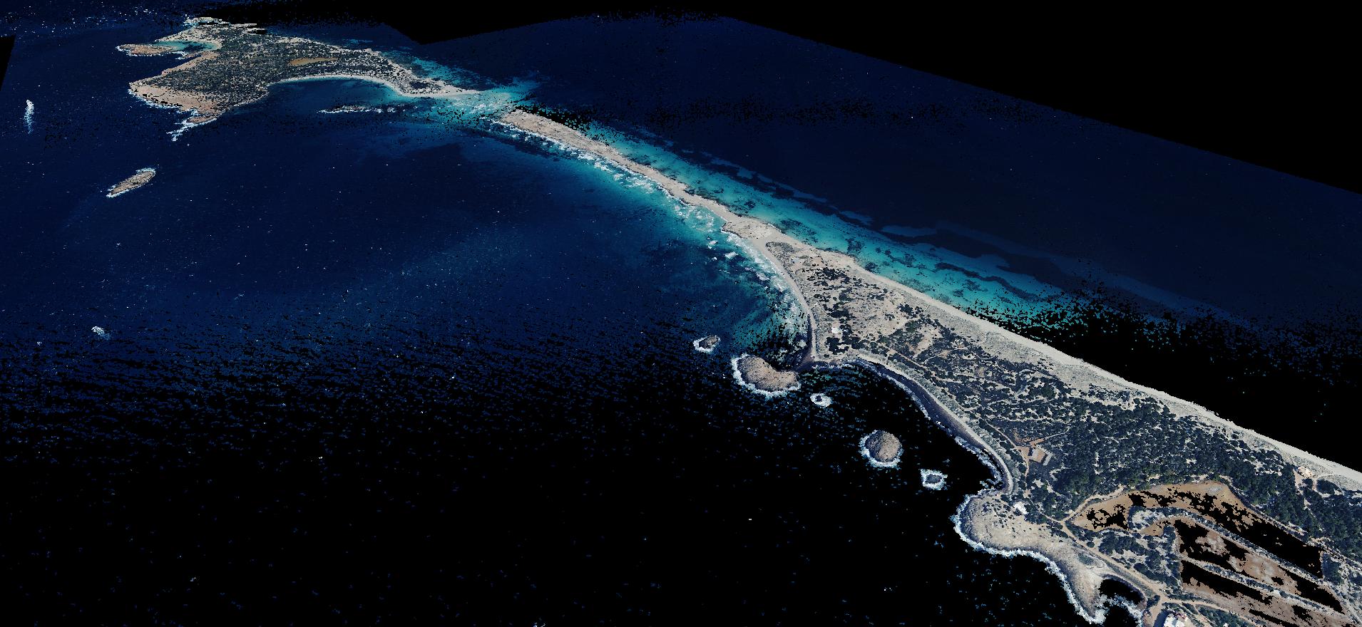
Ses Illetes beach, Formentera, Spain – colored point cloud. © Instituto Geográfico Nacional (IGN), Spain.
For lidar data collection, Portugal has chosen a point density of 10 points/m². This decision considers the need for a first-ever comprehensive coverage of the Portuguese mainland, catering to the requirements of multiple users from diverse sectors.
While the acquisition process is currently underway, Portugal’s national mapping agency (Direção-Geral do Território) plans to explore the innovative applications of lidar technology once the data acquisition is complete. The agency recognizes the vast potential that lidar offers and intends to leverage it for various applications and sectors.
Spain
Spain’s lidar mapping has undergone three distinct phases. The first coverage took place from 2009 to 2015 with a point density of 0.5 points/m². The Instituto Geográfico Nacional (IGN) is the public agency in charge of national mapping, but it is always commissioned by other public institutions that provide the required funding. The driving force behind this initial phase was the General Directorate of Water, and the main focus of the project was flood prevention. The density was determined based on available funds, reflecting a pragmatic approach to what was financially feasible.
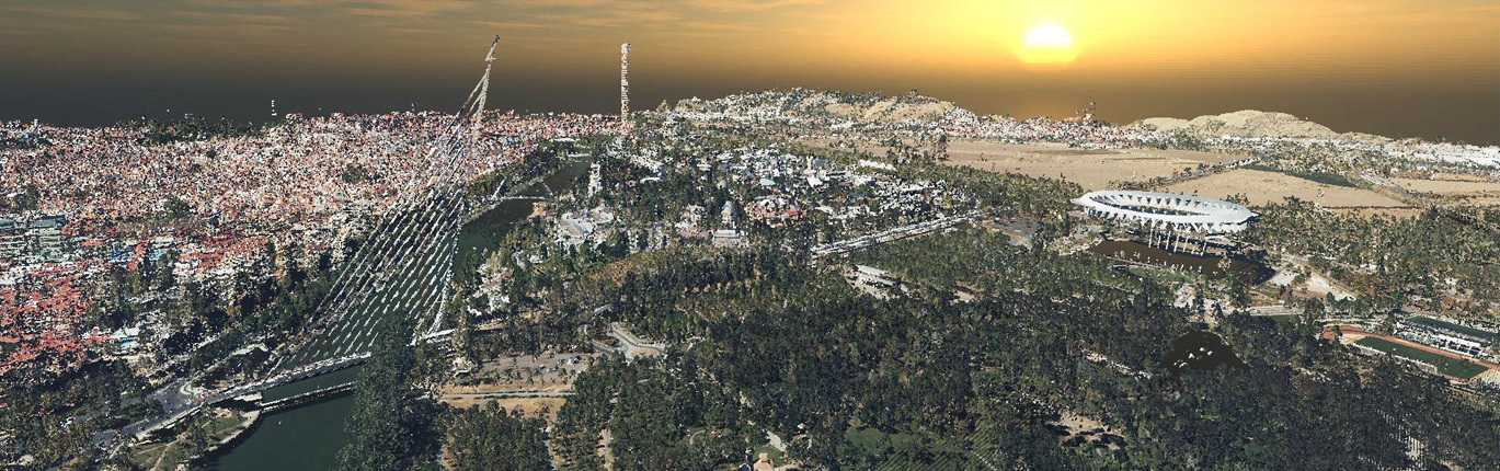
Vue from Sevilla City Spain – colored point cloud. © Instituto Geográfico Nacional (IGN), Spain.
The second coverage phase, from 2015 to 2021, encountered challenges due to the use of heterogeneous density. Suppliers were given incentives to improve density within the same price range, resulting in disparate coverage even within the same region. This heterogeneity posed challenges in establishing standardized parameters for data utilization, so a different approach was decided for the next coverage.
Spain’s current third coverage phase, from 2022 to 2025, has been facilitated by the Next Generation Funds of the European Union, amounting to 20 million euro. To streamline the process, all tenders were launched simultaneously, three years in advance, allowing successful companies to plan effectively. The density used will be 5 points/m².
In terms of innovation, Spain’s national mapping agency has embraced the use of AI algorithms in data classification. A pilot test was conducted, and public consultation was launched to further refine the process. Spain plans to continue researching the possibilities of artificial intelligence.
Conclusion
Taking the above into account, is it feasible to attain at some point consistent lidar coverage across the entire continent? The industry has long advocated for this debate, as the wide variation in tenders and datasets definitions across countries complicates their operations.
Moreover, decision-makers at various levels would undoubtedly gain from having access to comprehensive lidar data from across Europe, given the numerous potential applications of this technology. Harmonizing the tendering process and promoting data availability throughout the continent would be a significant step forward, fostering collaboration and facilitating informed decision-making at a pan-European scale.
The European Union placed a particular focus on high-value datasets such as geospatial data in its Directive (EU) 2019/1024 of 20 June 2019 on open data and the re-use of public sector information. This Directive also establishes that the Commission is working together with EU countries to define the list of specific high-value datasets that can be made available free of charge and are easily re-usable across the entire EU. However, the homogenization of such datasets seems still to be a distant reality. Creating a pan-European dataset poses challenges, primarily related to funding limitations and differing needs among countries.
Even if all countries consulted for this article recognize the relevance of harmonizing tender structures and classification specifications to facilitate industry collaboration and promote standardization within Europe, they also express caution. The absence of a unified regulatory framework, differing priorities among Member States, and budgetary considerations contribute to the complexity of this endeavor. Nevertheless, discussions surrounding the establishment of a pan-European dataset have gained momentum, emphasizing the importance of collaboration and knowledge exchange between countries.
Despite the obstacles, several European countries have initiated information-sharing meetings to exchange experiences and address common challenges. Since 2022, some countries have met to exchange feedback and experiences, with hopes of moving toward standardized deliverables and improved data accessibility.
It is promising also to see that in addition to their individual efforts, European countries are taking steps to establish a more formal structure for collaboration. The goal is to foster ongoing information exchange and, to facilitate this, there are ongoing discussions to become part of EuroSDR—a not-for-profit organization that connects national mapping and cadastral agencies, research institutes, universities, and companies across Europe.
EuroSDR specializes in applied research related to spatial data provision, management, and delivery. This collaboration platform offers an ideal framework to host the lidar initiative and strengthen communication and ties between European countries.
EAASI will certainly welcome any steps toward the homogenization of datasets. Joining forces, national mapping agencies, pan-European institutions, and the private sector can enhance their collective efforts and ensure continued progress in the field of lidar mapping and geospatial science. Society will be the ultimate beneficiary.
Acknowledgements
- Andrew C. Flatman, Styrelsen for Dataforsyning og Infrastruktur, (Board for Data Supply and Infrastructure, Denmark)
- Juha Kareinen, Head of Cartography, Aerial Photography Services, Maanmittauslaitos (National Land Survey of Finland)
- Loïc Gondol, Chef de projet MOA Lidar HD, Institut national de l’information géographique et forestière (IGN), (National Institute of Geographic and Forest Information, France)
- Jeroen Leusink, het Waterschapshuis, (The Water Board House, Netherlands)
- Paulo Patrício, Direção-Geral do Território (Directorate-General for the Territory, Portugal)
- Jesús María Garrido Sáenz de Tejada, Instituto Geográfico Nacional, (National Geographic Institute, Spain)
[1] https://www.usgs.gov/3d-elevation-program/what-3dep
[2] https://tilannekartta.maanmittauslaitos.fi/laserkeilaus
Editor’s note: Now published, continue reading “Elevations for the Nations” Part II & Part III.