Quick to mount, simple to operate, then drag and drop to produce high density, high accuracy georeferenced pointclouds.
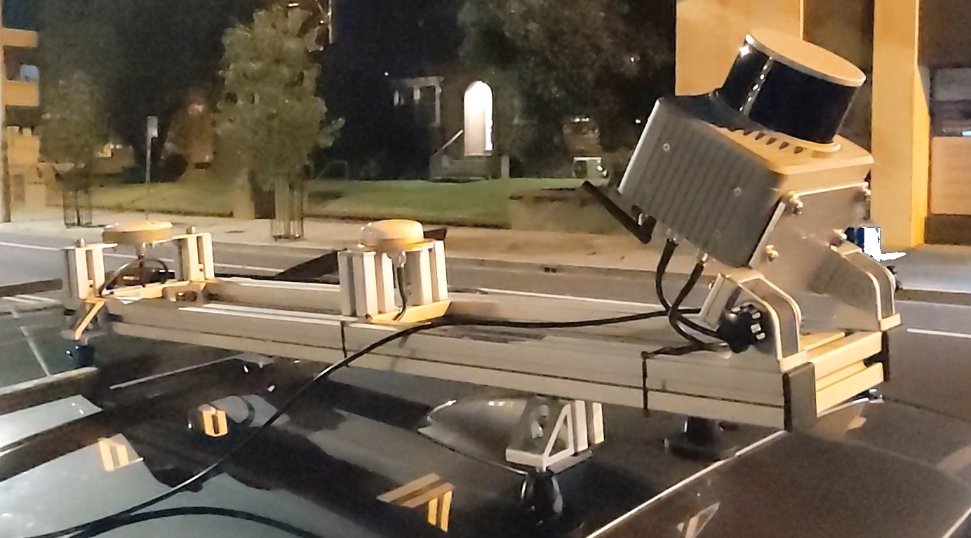
The Klau Geomatics Brumby MLS LiDAR scanner, on an aircraft or land vehicle, removes the traditional pain points to capture and process LiDAR. Trajectory is processed onboard, on the fly, with coordinate systems and precise geoids applied.
The pointcloud you see in this video was made in under an hour, all up. Faster and easier than drones. Way cheaper than MLS systems.
Click the following link to see the video on Youtube: https://youtu.be/7ruQxCT84wE
See more detail on Brumby LiDAR at Brumby | Klau Geomatics
Rob Klau
Director
+61 401 588 005
klau@geomatics.com.au
