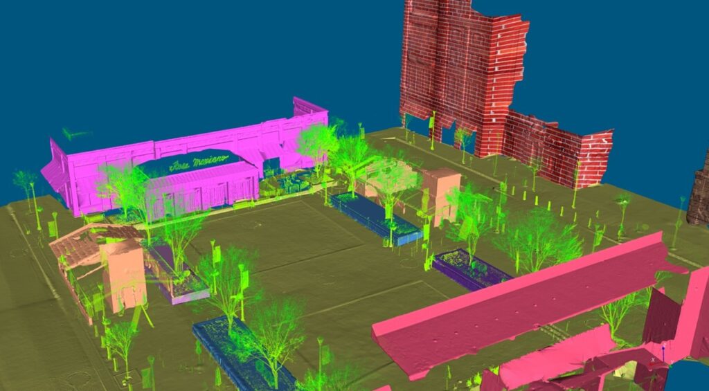
Bellevue, WA, January 4, 2023 – VirtualGrid is pleased to announce the availability of VRMesh v11.8, the latest version of its powerful point cloud and mesh processing software. VRMesh is the best solution for creating an accurate digital twin to represent industrial facilities and the environment in urban planning. It provides you with automatic point cloud classification, intelligent feature extraction, and accurate point cloud meshing.
This new release adds more functions, for example, mapping an image onto a surface, embossing a surface according to the luminance value of a texture, supporting LandXMI file format, and etc.
VRMesh delivers a comprehensive toolset and flexible workflows for a wide range of industries such as construction, land surveying, mining, energy, utilities, architecture, manufacturing, VR gaming. It makes engineers’ jobs easier and maximizes productivity at work.
For a live demonstration, please stop by Booth 426 at Geo Week from Feb. 13 – 15, 2023 at Colorado Convention Center in Denver. We are pleased to show you our innovative technologies.
About VirtualGrid
VirtualGrid developed VRMesh, a 3D point cloud and mesh processing software tool. It is best known for its cutting-edge technologies in point cloud classification, feature extraction and point cloud meshing. VRMesh provides a streamlined workflow for the AEC industry. Please visit www.vrmesh.com for more information.
