The concept of the digital twin originated in manufacturing industry around 2002 and has been gaining momentum in the geospatial industry since around 2016. Digital twins and 3D models are often confused because they are both virtual representations of the physical environment. The digital twin, however, distinguishes itself from the static 3D model by its ability to incorporate data and information from other systems and to evolve over time to support all facets of an asset or ecosystem, from planning through operations.
This dynamic capability has enabled digital twin applications to reproduce quickly over the last few years, with industries from manufacturing to supply chain to healthcare capitalizing on the value of this geospatial tool. One of the most promising applications is as multifaceted as the concept itself: city planning and management.
According to a recent report by Guidehouse Insights1, a global technology consultancy, due to relatively low costs and high utility, the incorporation and benefits from municipal digital twins are expected to grow immensely over the next decade. The group estimates that revenue generated from digital twins will rise from more than $331 million in 2022 to $2.5 billion by 2031, representing an annual growth rate of more than 25%. The primary limiting factor to this growth is expected to be lack of knowledge about the technology and its applications.
That’s where we come in.
Digital twins, 3D modeling and smart cities
Digital twins and 3D models have contrasting applications in a city setting. Consider the difference between a highway overpass model and a digital and dynamic replication of a highway. A 3D model is the best platform for presenting a realistic environment for the interpretation of integrated data. That model then provides a base that can be fed architecture and engineering designs, real-time environmental measurements, and daily operations data, to make it a living, breathing digital twin.

Immense amounts of data are collected daily by local, state and federal agencies to support the planning and operation of cities. This data supports infrastructure, water and sewer services; energy and utilities; transportation; property management; healthcare; social services; education; parks and recreation; police and rescue; etc.—pretty much everything that contributes to city facilities and functions.
In most cities, each of these databases is siloed. If they are integrated into a digital twin, city officials gain access across city departments to make individual and collaborative decisions. This not only helps achieve synergies to advance each department and service, but also provides the framework to identify opportunities to improve the city’s overall operations, research, planning, resilience and emergency response.
Although a digital twin can be created without it, building information modeling (BIM) plays an integral role in creating an accurate digital twin for industrial facilities and the urban environment. BIM is a collaborative work method for structuring and managing assets by utilizing data accumulated throughout each asset’s life cycle. BIM employs augmented and virtual reality to envision a project so changes can be discussed and next steps determined. The integration of data from multiple BIM sources, alongside other data and information accrued, creates a digital twin that increases access to that information, forging connections for improved and defensible decision-making.
For a municipal digital twin, moreover, BIM is essential. Every city structure represented in the BIM should include a complete development history, from planning to construction to operations, before it is added to the digital twin, to accurately reflect those assets within the virtual environment.
The implementation of a digital twin is highlighted in the goal of a smart city, which is to use digitally managed infrastructure to achieve a more sustainable and livable municipality. This is accomplished by improving the quality of life for citizens by ensuring that available resources are functioning correctly and are utilized efficiently. The real-time, integrated data of the digital twin enables the city to optimally manage and operate its assets. The combination of these concepts can effectively serve current city development projects, informing data-rich multidisciplinary models to manage valuable resources through visualization and analytical modeling.
City applications—the ROI
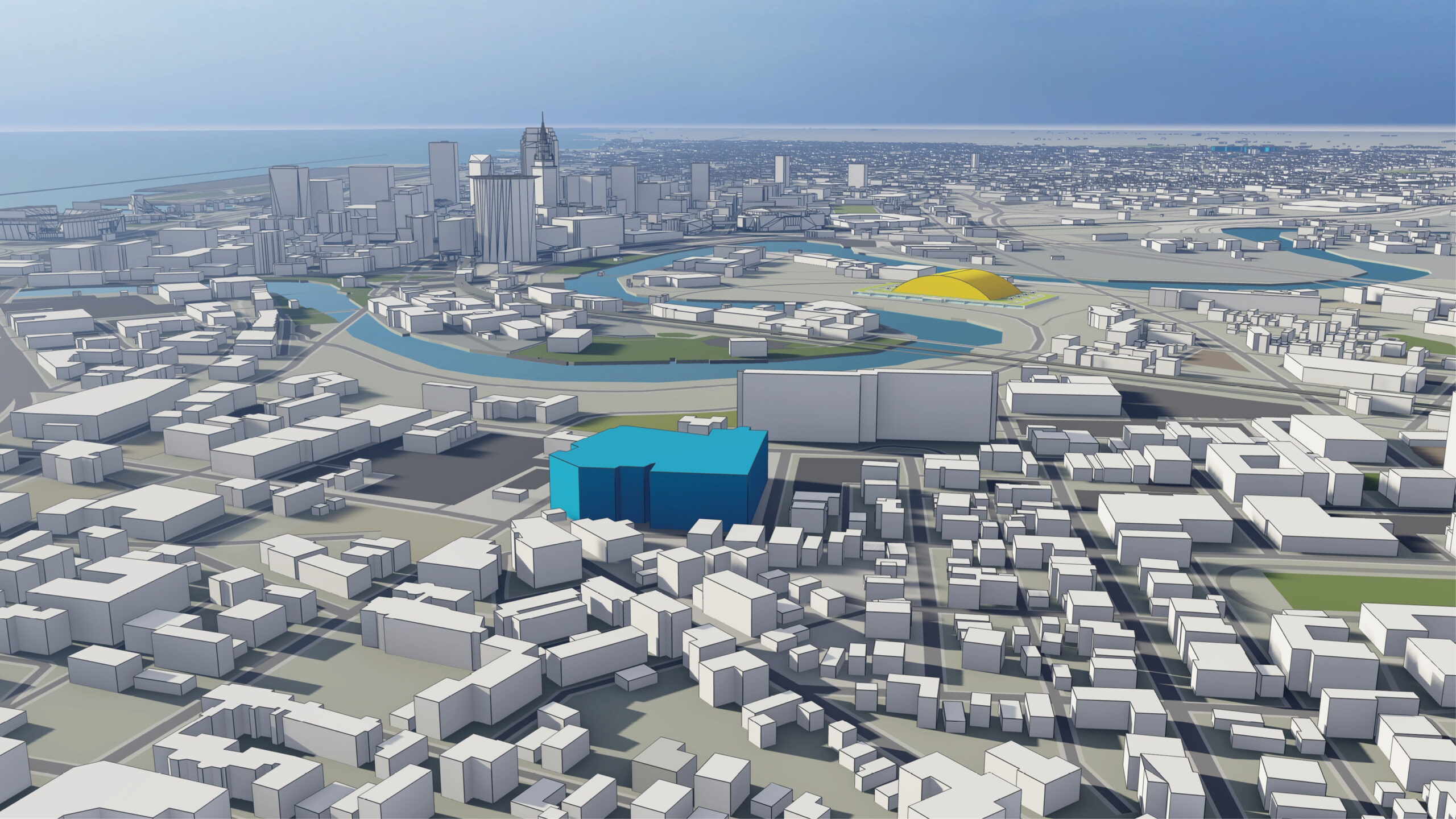
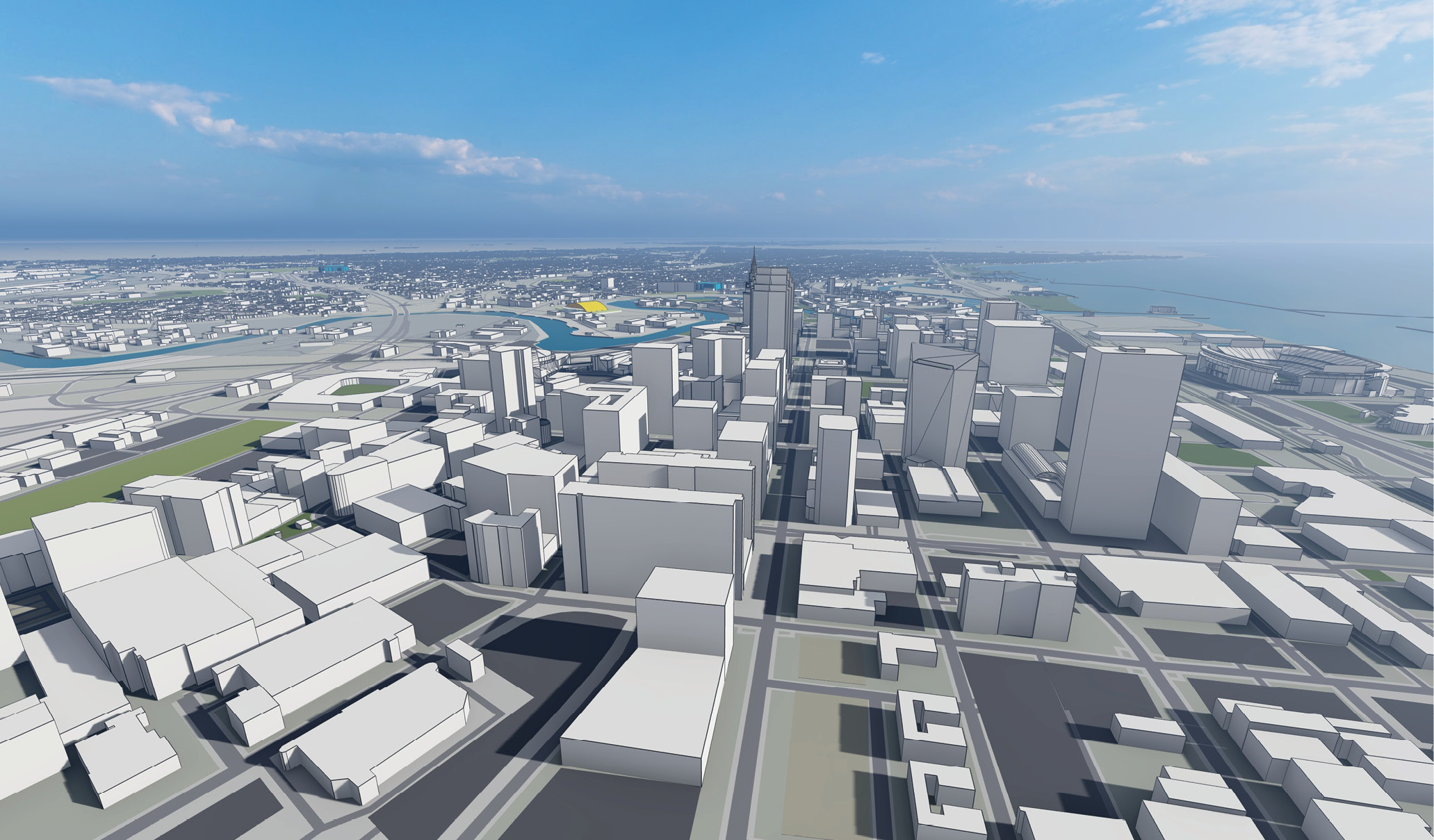
Taking advantage of readily available municipal data and the adoption of evolving technologies around the world, city GIS and IT managers have been taking the lead on the integration and management of this data. Many cities are building 3D models with increased dimension and detail, including the integration of building interiors. These models are supported by the current capabilities of the geospatial industry, including high-accuracy and high-resolution lidar data and imagery acquired from platforms such as satellites, aircraft, drones and road vehicles. These city models represent a cornerstone for the municipal digital twin, enhancing shared information among all levels of government to address traditional and emerging municipal issues.
According to experts in the field, roughly 70% of the return on the digital twin investment comes from facility operation and management after construction is completed, because the digital twin supports the life cycle of the project. This digital access to the physical structure is then extended and shared with city and departmental managers. While an economic development officer will want to know how many people live in a building, a fire marshal will want to know immediately where his crew can find access to those people, the utility company will want to know how those people are utilizing various energy resources to support grid reliability, etc. A digital twin combined with artificial intelligence can provide a city’s engineering and maintenance team with an early warning about a routine maintenance schedule and can warn the team of a defect in any segment of the utilities network.
Correct implementation of a digital twin requires a massive investment in digital twin infrastructure, data governance, and stakeholders’ coordination and collaboration, through agreed frameworks and processes. It also changes workflows and requires the workforce to gain new skills. The continuing drop in the cost of IT infrastructure coupled with affordable cloud data storage and processing will contribute to the affordability of the digital twin, as will the fact that costs associated with the technology can be shared across departments. Additional savings can be accomplished by reducing physical security and maintenance personnel.
A mature digital twin platform can be extended to connect the wider community of citizens with their government using smart city concepts. Citizens can login to the platform to learn about health and environmental issues and regulations, review their energy use and how it compares to their neighbors’, check in on city development plans and how they affect their neighborhoods, etc. Much of this citizen interaction happens through a smart hub, representing elements of a smart city that are encompassed within the digital twin ecosystem.
As their benefits are more widely understood, the application of digital twins will continue to expand and improve the management of assets in multiple environments. The geospatial industry expects increasing demand for these technologies and the corresponding opportunities they present. It must pay close attention to forthcoming opportunities in the digital twin market for multiple reasons:
- Geospatial data and information are critical enablers for smart cities and therefore digital twins.
- Geospatial data and information form the framework for the digital infrastructure needed for digital twin implementation.
- Digital twins do not exist in isolation; they exist in an ecosystem of interconnected and interwoven systems, many of them based on geospatial data components.
In addition to AI and deep learning, data analytics and modeling fields will prosper from the tremendous amount of data generated from operating an asset within a digital twin that needs to be converted to knowledge.
We need to continue to expand these technologies and advance their applications, while educating those who can most benefit. As the Guidehouse Insights study noted, the learning curve is the biggest impediment to municipal digital twin technology and applications. It is our job to fix that.