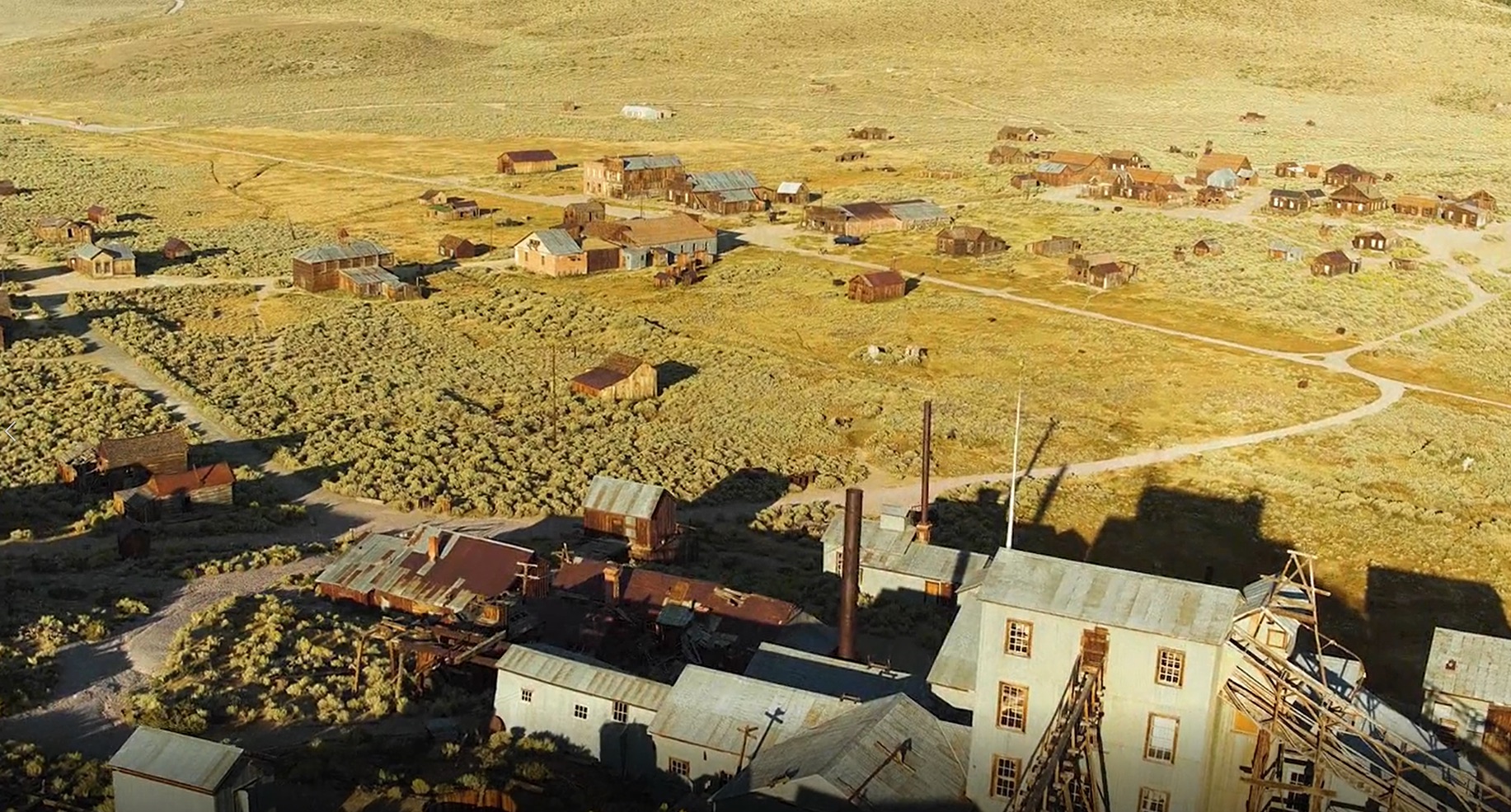
 Scientists from the University of California (UC) Merced have digitally mapped the fragile remains of the once-flourishing gold rush ‘ghost’ town of Bodie, California, as part of the Bodie 3D Project.
In collaboration with UC Merced and California State Parks, archaeologists and researchers used GeoSLAM’s handheld ZEB Horizon scanner to safely and accurately document many of the 150 structures, mostly wooden, that remain on the volcanic high-sierra landscape.
Dating back to 1859, just 10 per cent of the original town is said to be intact with harsh weather conditions, nearby wildfires and earthquakes causing the buildings to deteriorate quickly.
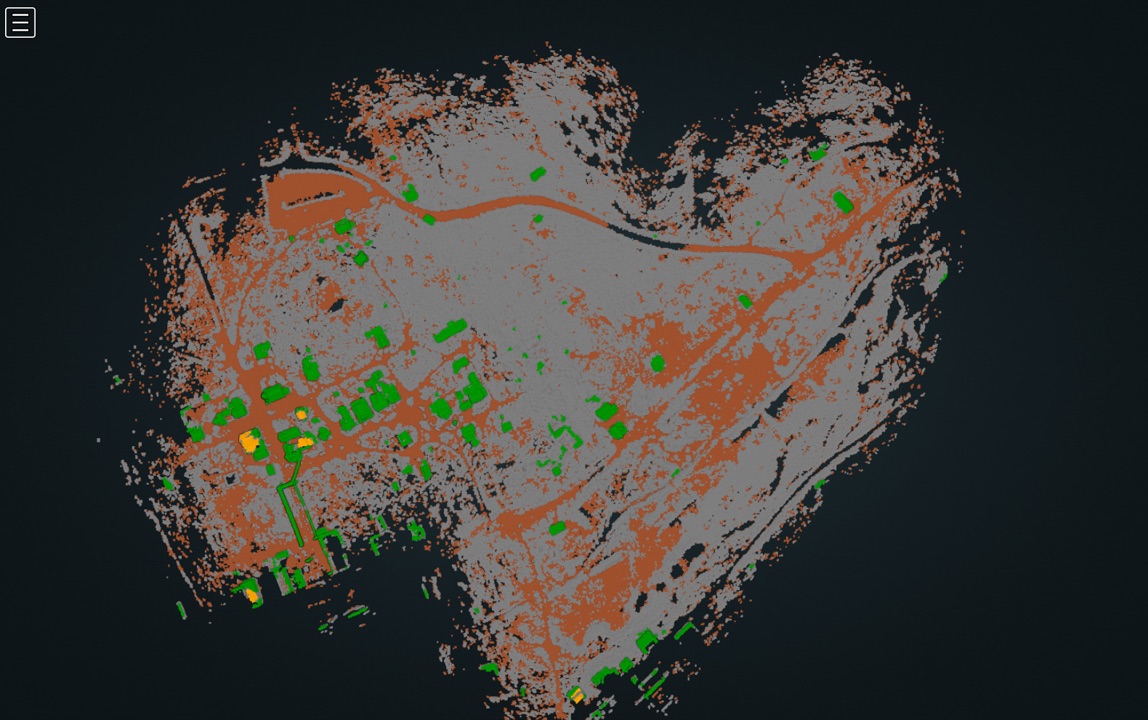 Using ZEB Horizon, the team collected remote sensing data to preserve Bodie’s archaeological signature as well as monitoring the decay. Added to that, using the data, the team collaborated with National Geographic to develop a 3D reconstruction of Bodie in the 1870s that featured in the Drain the Oceans series.
In 2020, the project was threatened by Covid-19 restrictions, as well as hold-ups because of broadcast interest from National Geographic, leaving the window for scanning limited.
As such, the project required a mapping tool that was quick and easy-to-use, with remote support due to lockdown constraints.
Professor Lercari employed the use of GeoSLAM’s handheld ZEB Horizon scanner, using the device to survey over 100 buildings and structures in the former gold-mining town, across a total of four-days.
With a collection rate of 300,000 points per second, an accuracy of up to 6mm and the ability to scan data with a range capacity of 100m, the ZEB Horizon can capture a detailed digital replica of the entire town within minutes.
Speaking about the project, Nicola, said:
“What I loved about using the ZEB Horizon at Bodie is that it allowed the team to quickly collect very precise 3D measurements of the site’s landscape and built environment. Using the data, we were able to more precisely identify the location of historic buildings that are long-gone, enabling us to reconstruct them in 3D to show visitors how Bodie was before being abandoned.”
Learn more about The Bodie 3D Project here, and for more information on GeoSLAM and its products, visit www.geoslam.com.
