 Graz, Austria • May 24, 2022 – 95West Aerial Mapping offers innovative data collection by integrating an UltraCam Eagle Mark 3 aerial camera system with a Riegl VQ-1560 II-S airborne laser scanner in one aircraft. Simultaneous operations controlled with TopoFlight Systems management software cut flight time in half compared to separate missions, and the four-band large-format imagery and LiDAR point cloud are perfectly in sync.
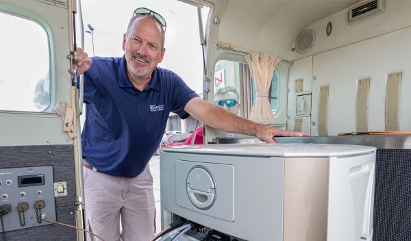
In early 2021, 95West purchased the new camera and LiDAR hardware, as well as a Cessna 208B Grand Caravan. Custom modifications were made to allow two camera ports to be added, and the combined system was ready to fly by September. The upgraded equipment allows the firm to tailor its products to the needs of the client and deliver custom solutions whenever necessary.
“Our clients are transitioning from using conventional stereo compilation to LiDAR so we wanted to upgrade our LiDAR and camera equipment to produce the highest quality data at maximum efficiency,” said Miles Strain, Aerial Services Manager and Vice President at 95West. “The UltraCam Eagle has better data resolution and clarity than other cameras we considered, while a major part of the decision was the opportunity to form strategic partnerships with other mapping firms. Vexcel’s reputation for high quality is a key selling point for us.”
The UltraCam Eagle Mark 3 camera footprint covers more than 26,460 pixels across the flight strip and delivers 10-cm resolution at a 5,000-m altitude. Combined with an excellent minimum capture interval of one frame per 1.5 seconds and an unmatched signal-to-noise ratio, the UltraCam Eagle collects large areas efficiently and produces superior data even in challenging conditions.
“The 80 mm focal length gives us a field of view and flying altitude that closely matches the LiDAR footprint,” said Andrew Werle, Chief Pilot at 95West. “The Eagle’s footprint is slightly larger than the Riegl which gives us industry standard sidelap for both the imagery and lidar. Simultaneous collection results in coincident data sets and cuts mobilization costs in half, which saves our customers thousands of dollars.”
The integration of hardware and software was completed with the help of Vexcel, Riegl, Applanix and TopoFlight.
“We evaluated several flight management systems, but TopoFlight was by far the most user-friendly and made it possible to communicate with both systems seamlessly,” said Werle. “During the mission one computer tracks LiDAR, a tablet monitors the Eagle’s activity, and another tablet runs the flight management system and navigation.”
The combined imagery and LiDAR data form the foundation for multiple deliverables and in-depth analysis.
“The integration is working out even better than we anticipated,” said Strain. “We have successfully completed a variety of projects, from large areas to dense corridors, some of which we wouldn’t have attempted with our old equipment. We get better quality data from the Eagle and denser point clouds from the Riegl in half the acquisition time. It’s the best of both worlds.”
About 95West Aerial Mapping LLC
95West Aerial Mapping LLC provides aerial acquisition and geospatial services throughout the United States and Canada. Using the latest advanced technology to its full capabilities, 95West’s professionals provide efficient, accurate services for federal, state and local governments, utilities and private entities while pursuing strategic partnerships with other aerial mapping firms. 95West delivers exactly what their customers need through creative custom solutions. For more information, please visit 95westaerial.com or contact Miles Strain at Miles.Strain@95westaerial.com or 507-519-3704.
About Vexcel Imaging
Vexcel Imaging, a leader in the geospatial industry, develops cutting-edge large-format aerial cameras and photogrammetric software with innovative approaches, and places an emphasis on continuing product upgrades and world-class support. The broad UltraCam aerial camera portfolio covers all applications in airborne photogrammetry — from nadir to oblique to wide-area data collection. UltraCam data is processed with the UltraMap photogrammetry software, providing an end-to-end processing workflow for highly automated, quality data products that include point clouds, digital surface and terrain models, orthophotos and 3DTINs.
Learn more about Vexcel Imaging under www.vexcel-imaging.com
