![]() Montreal, Canada April 26th, 2022 – SimActive Inc., a world-leading developer of photogrammetry software, announces the use of its Correlator3D product by Beacon Aviation, Inc. to reduce costs of mapping projects. Operating across the Midwest, Beacon routinely maps long corridors for powerlines or transportation right of ways, large mining operations, and entire water districts.
Montreal, Canada April 26th, 2022 – SimActive Inc., a world-leading developer of photogrammetry software, announces the use of its Correlator3D product by Beacon Aviation, Inc. to reduce costs of mapping projects. Operating across the Midwest, Beacon routinely maps long corridors for powerlines or transportation right of ways, large mining operations, and entire water districts.
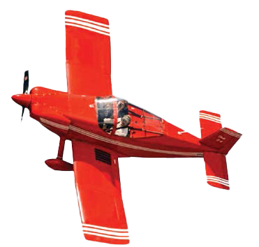
Specifically, Beacon uses a Phase One camera with a military-grade IMU which can be mounted in any of their fleet of small aircrafts. This setup provides a much more cost-effective solution than their competitors in the burgeoning drone market.
 “While one would intuitively think that using drones for mapping is necessarily cheaper, that’s not always the case”, said Marty Gould, Owner and Chief Pilot at Beacon Aviation, Inc. “This use of high-quality equipment mounted on small aircraft, coupled with SimActive software, allows us to rapidly deliver high accuracy mapping data at reasonable costs.”
About Beacon Aviation Solutions, Inc.
Founded in 1997, Beacon Aviation, Inc., serves the Texas, Oklahoma, Louisiana, and Arkansas areas from its facility at Wood County Airport in Alba, Texas. Beacon uses 100% digital remote sensing equipment, coupled with airborne GNSS and a tactical grade IMU. The integration of cutting-edge hardware, and software such as Correlator3D, allows for rapid acquisition and delivery of a client’s area of interest that is both accurate and aesthetically pleasing. Beacon can target, and map anything from a city’s airport to an entire county creating orthographic, topographic and planimetric products that are second to none. For more information, visit www.beaconaviationinc.com
About SimActive
SimActive is the developer of Correlator3D™ software, a patented end-to-end photogrammetry solution for the generation of high-quality geospatial data from satellite and aerial imagery, including drones. Correlator3D™ performs aerial triangulation (AT) and produces dense digital surface models (DSM), digital terrain models (DTM), point clouds, orthomosaics, 3D models and vectorized 3D features. Powered by GPU technology and multi-core CPUs, Correlator3D™ ensures matchless processing speed to support rapid production of large datasets. SimActive has been selling Correlator3D™ to leading mapping firms and government organizations around the world, offering cutting-edge photogrammetry software backed by exceptional customer support. For more information, visit www.simactive.com.
