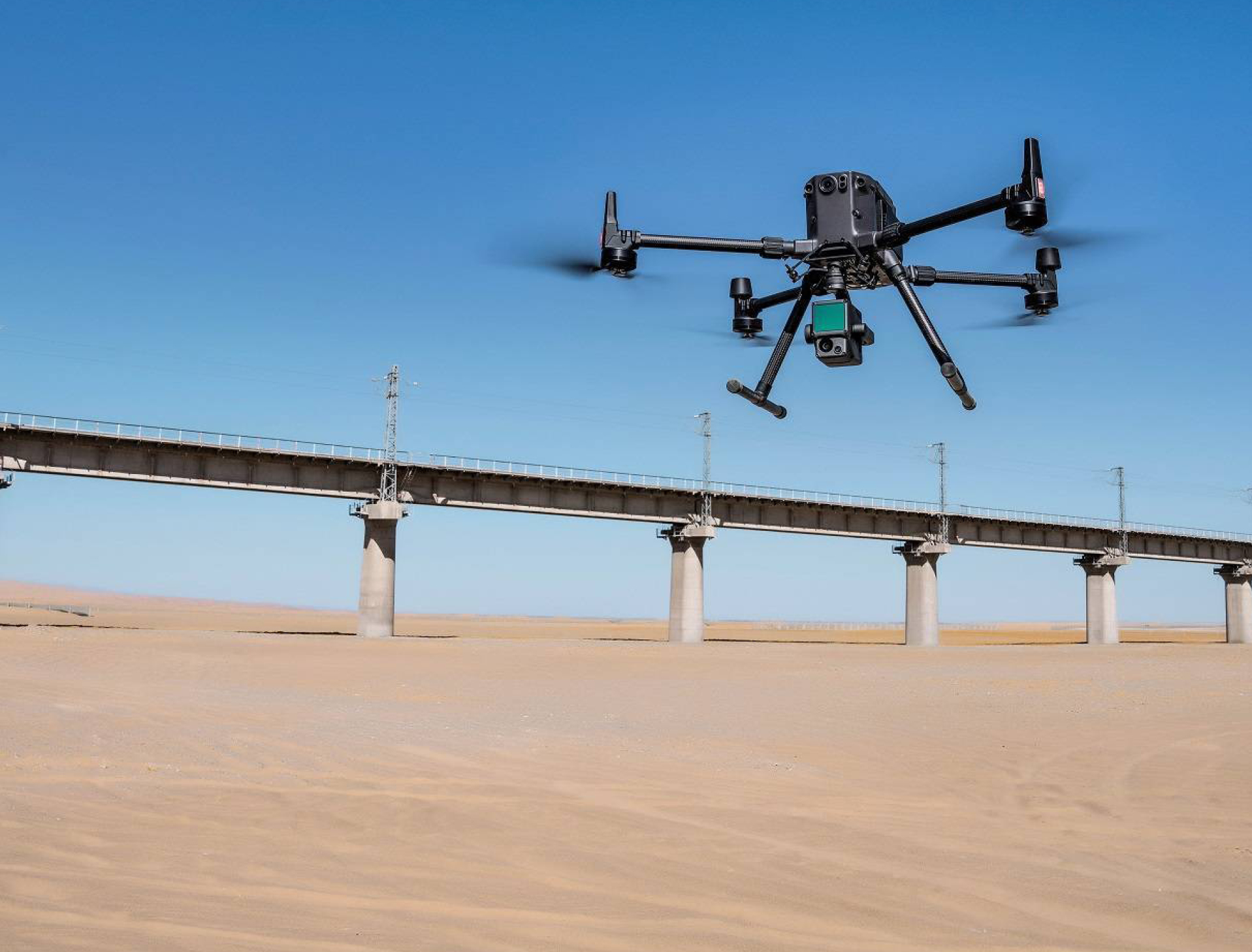
 Montreal, Canada, September 7th, 2021 – SimActive Inc., a world-leading developer of photogrammetry software, announces an enhanced software workflow for DJI users operating their new L1 LiDAR systems. It allows the validation of LiDAR point cloud accuracy, the transfer of photo identifiable control from LiDAR to imagery, and the colorization of LiDAR with color balanced mosaics.
Vertical Aspect, a company based in Texas bringing 30 years of experience in rotary flight and survey operations, is one such user. In conjunction with their DJI L1 LiDAR system, SimActive Correlator3D™ software enhances the data captured allowing it to create robust deliverables, while minimizing field work and processing time per project for their topographical surveys.
“I am a big believer in drones as supplement to traditional surveying equipment”, said Mark Paulson, RPLS and owner of Vertical Aspect. “In combination with LiDAR, drones can greatly reduce time in the field. Innovative processing solutions from high-end software like Correlator3D™, combined with excellent customer support, is an important part of the overall value proposition.”
About Vertical Aspect, LLC
Vertical Aspect team helps individual professionals and companies rapidly integrate drone mapping, through our consulting, individualized training, and sales of select hardware and software products. Mark Paulson, is a Registered Professional Land Surveyor in Texas. He is also a private pilot and has extensive fixed wing drone flight experience. Our expertise path we forged over the years was built on the hard work, skill, knowledge, and dedication of our team. For more information, visit www.verticalaspect.com.
About SimActive
SimActive is the developer of Correlator3D™ software, a patented end-to-end photogrammetry solution for the generation of high-quality geospatial data from satellite and aerial imagery, including drones. Correlator3D™ performs aerial triangulation (AT) and produces dense digital surface models (DSM), digital terrain models (DTM), point clouds, orthomosaics, 3D models and vectorized 3D features. Powered by GPU technology and multi-core CPUs, Correlator3D™ ensures matchless processing speed to support rapid production of large datasets. SimActive has been selling Correlator3D™ to leading mapping firms and government organizations around the world, offering cutting-edge photogrammetry software backed by exceptional customer support. For more information, visit www.simactive.com.
