 Global geospatial mapping specialist, GeoSLAM, has re-imagined two of London’s most iconic sporting landmarks, the ArcelorMittal Orbit and the Olympic Rings, in 3D as part of its UK-wide ‘Big SLAM Tour’.
Purpose built for the 2012 London Olympic Games, the Queen Elizabeth Olympic Park is home to a number of other striking architectural structures, including the 80,000 capacity London Stadium, Aquatics centre and Velopark.
GeoSLAM’s senior solutions architect, Ivona Hubova, explained the technology used to recreate the landmarks in 3D. She said:
“With its complex, twisting structure, scanning the ArcelorMittal Orbit is no mean feat. However, harnessing GeoSLAM’s unique SLAM (simultaneous localisation and mapping) algorithm, the lightweight ZEB Horizon allowed myself and the team to create a highly accurate and extremely detailed digital replica of the architecturally unique viewing platform.
“In just five-minutes, the handheld scanning device captured 49 million points, all without taking our feet off the ground. With versatile mounting options the team could collect data quickly and efficiently on the go, easily georeferencing the pointcloud-utilising the ZEB Locate.
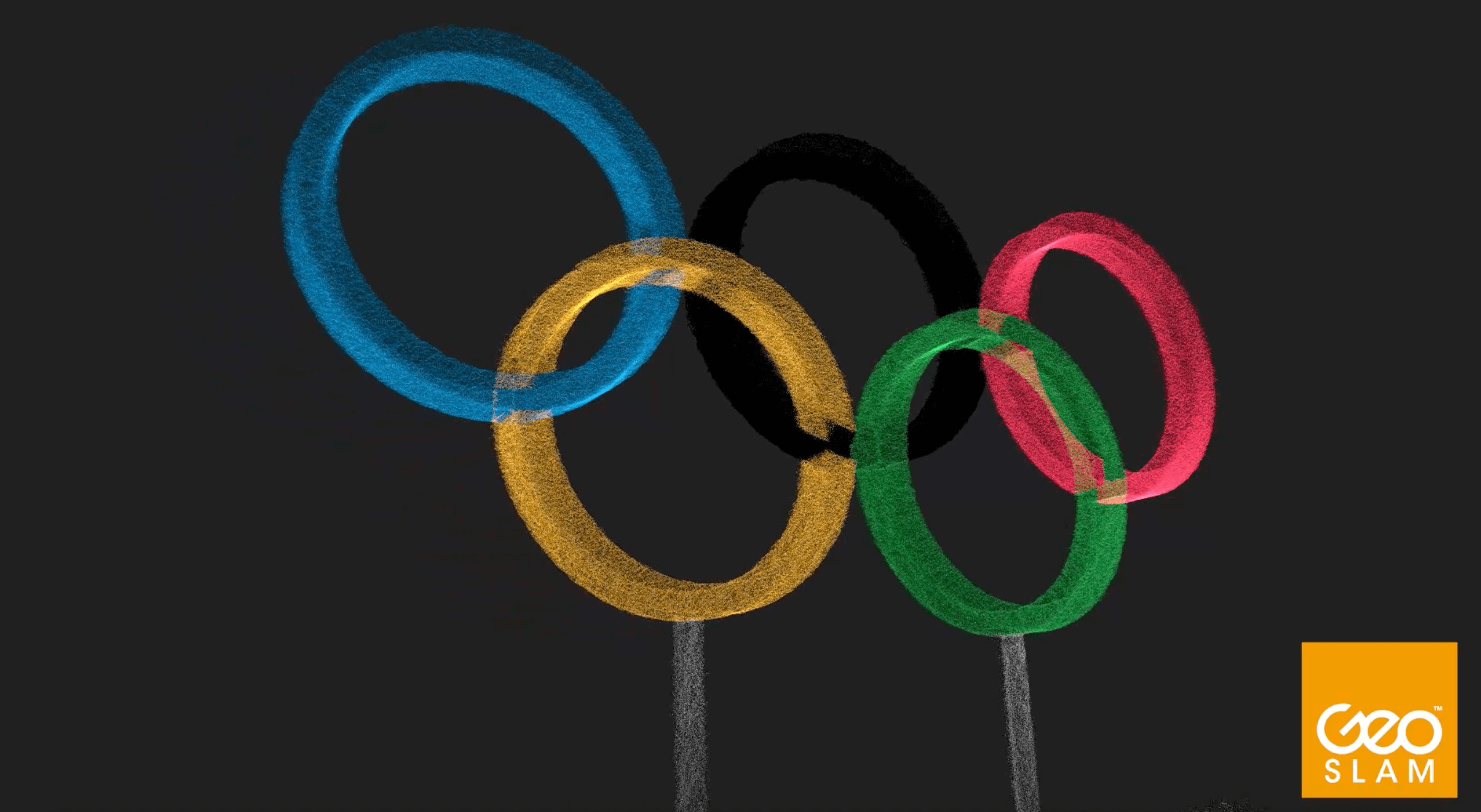
“Perhaps the most iconic symbol of the Games is the Olympic Rings. Scanning the 7,911 square ft structure and surrounding area took just two-minutes, thanks to the ZEB Horizon’s simple walk-and-scan method of data collection. Using an end-to-end solution, the processing software automatically connected the 6.5 million data points into a digital replica in just over three-minutes.
“The versatility of the ZEB Horizon, and its ease of data collection enabled myself and the team to make light work of scanning these large structures, symbolic of the UK’s great sporting history.”
To view all of the London Olympic Park data, click here or for more information on The Big SLAM Tour of the UK, visit the blog.
