Texas leverages new Content+ licensing model from the HxGN Content Program to obtain updated single-season imagery with higher refresh rates for select cities
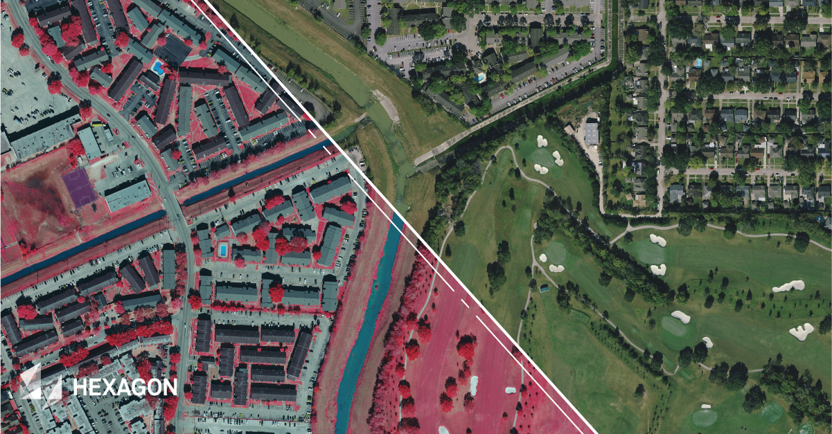
15 cm resolution 4-band aerial imagery of Houston, Texas.
(Washington, D.C., USA, 22 April 2021) Hexagon’s Geosystems division announced that the HxGN Content Program, the largest provider of high-accuracy aerial imagery and digital elevation data, is the first geospatial Content-as-a-Service (CaaS) provider to deliver licensed six-inch (15 cm) aerial imagery for an entire U.S. State in a single collection season.
Texas signed a three-year streaming subscription to receive the 2020 state-wide data and all HxGN Content Program data refreshed during the term. In addition to enhanced resolution, the Content+ initiative allows states to request data collection at a higher refresh rate for select areas, such as metros that experience fast change and any areas that require more consistent data monitoring.
The partnership with the State of Texas and the Texas Natural Resources Information System (TNRIS), a division of the Texas Water Development Board, marks the official launch of the HxGN Content Program’s Content+ initiative. The new licensed product will offer government entities the flexibility to obtain aerial imagery to their desired specifications at a low cost—all within a highly efficient CaaS model.
Licensed aerial imagery with high level of flexibility
“We’re very excited to have the State of Texas join the HxGN Content Program,” says John Welter, President, Geospatial Content Solutions at Hexagon. “We updated our offering to support the state’s needs, ensuring the success of its imagery program. With more states moving to licensed data, Content+ was designed to be a flexible, affordable solution.” Applied Geographics Inc. (AppGeo), a Hexagon partner, led the transition of TNRIS to the HxGN Content Program via their Giza platform.
Richard Wade, Deputy Executive Administrator of TNRIS and Texas State GIO, elaborates: “By partnering with Hexagon, we can control collection specifications and timing while maintaining public domain accessibility. This level of flexibility in a licensing model is new for us. AppGeo has been a long-time strategic and technical partner that helped us navigate the licensing process and transition to the HxGN Content Program. We’re excited to bring rich content and improvements to the Texas Imagery Service.”
2020 aerial data collection from the HxGN Content Program
Texas’s six-inch multispectral aerial imagery and digital elevation data are commercially available through the HxGN Content Program. Public-sector purchases can be made through TNRIS.
In addition to Texas, Hexagon’s 2020 collection includes aerial imagery and elevation data for five additional states. California, Oregon, Nebraska, and New Mexico are available for purchase through the HxGN Content Program’s Data Store. South Dakota will be available this spring.
Hexagon collected 822,030 square miles of new aerial imagery in the United States in 2020. Since the program’s launch in 2014, over 9 million square miles of data has been collected across North America and Europe.
Further information visit: hxgncontent.com.
Hexagon
Hexagon is a global leader in sensor, software, and autonomous solutions. We are putting data to work to boost efficiency, productivity, and quality across industrial, manufacturing, infrastructure, safety, and mobility applications. Our technologies are shaping urban and production ecosystems to become increasingly connected and autonomous — ensuring a scalable, sustainable future. Hexagon (Nasdaq Stockholm: HEXA B) has approximately 21,000 employees in 50 countries and net sales of approximately 4.6bn USD. Learn more at hexagon.com and follow us @HexagonAB.
