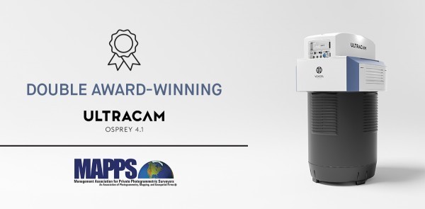
 Graz, Austria • Feb 1, 2021: At the MAPPS 2021 Winter Conference in Orlando, Florida, Vexcel Imaging was presented with two separate awards for its Osprey 4.1 nadir/oblique aerial camera system released in the second half of 2020.
The Geospatial Excellence Awards are presented to Regular and Associate Member firms whose entries exemplify the professionalism, value, integrity and achievement of the firm’s staff as demonstrated over the previous year. A distinguished and impartial panel of two judges evaluated the submitted projects from five categories: Data Acquisition & Processing, Surveying/Field Data Collection, GIS/IT/Remote Sensing Analysis, Small Projects (no entries were submitted for this category), and Technology Innovation/Licensed Data Products. A winner was selected for each category with submissions.
Vexcel Imaging received awards for its Osprey 4.1 under the Technology Innovation/Licensed Data Products category and additionally received the Grand Award – Project of the Year.
The UltraCam Osprey introduces the 4th generation UltraCam aerial imaging sensors. The UltraCam Osprey, a highly versatile system, simultaneously collects photogrammetry grade nadir images (PAN, RGB and NIR) and oblique images (RGB) in four directions. As a result of a combination of industry leading customized lens systems, next generation image sensors with custom electronics, and a best-in-class image processing pipeline, the UltraCam Osprey 4.1 delivers imagery of unprecedented quality in terms of detail resolution, clarity and dynamic range. The system pushes urban flight productivity to new levels, collecting 1.1 Gigapixels every 0.7 seconds.
“The MAPPS Geospatial Excellence Awards showcase the outstanding projects conducted by MAPPS member firms over the past year,” stated MAPPS President Mark Brooks. “We honor all of our members for their achievements and we congratulate Vexcel Imaging for the dedication to technology advancement.”
“Vexcel Imaging is honored to receive the MAPPS awards,” said Alexander Wiechert, CEO of Vexcel Imaging in Graz, Austria. “With the release of this system, we have really pushed the envelope to provide customers with the most recent and advanced aerial imaging technology. We are pleased with the MAPPS’ recognition of the success of our efforts.”
About Vexcel Imaging
Vexcel Imaging, a leader in the geospatial industry, develops cutting-edge large-format aerial cameras, mobile mapping systems and photogrammetric software with innovative approaches, and places an emphasis on continuing product upgrades and world-class support. The broad UltraCam aerial camera portfolio covers all applications in airborne photogrammetry — from nadir to oblique to wide-area data collection. UltraCam data is processed with the UltraMap photogrammetry software, providing an end-to-end processing workflow for highly automated, quality data products that include point clouds, digital surface and terrain models, orthophotos and 3DTINs. Learn more about Vexcel Imaging under www.vexcel-imaging.com.
About MAPPS
MAPPS is the preeminent national association of firms involved in many aspects and benefits of the geospatial field in the United States. Member firms are thought leaders in mapping, surveying, photogrammetry, satellite and airborne remote sensing, aerial photography, hydrography, GPS and GIS data collection and conversion services, technology development and geospatial products. Our associate members produce innovative technologies, software solutions and ancillary services to firms world-wide and government agencies. MAPPS is dedicated to all the business aspects, networking, technical and professional education, geospatial policy and legislation that private practitioners and the mapping community will always need. Learn more about MAPPS under www.mapps.org.
