 Montreal, Canada, January 26th, 2021 – SimActive Inc., a world-leading developer of photogrammetry software, announces the use of its Correlator3D product in conjunction with machine learning to determine land use in New Zealand. Raw images were pre-processed with a machine learning / artificial intelligence (ML/AI) algorithm developed by Lynker Analytics Ltd. for New Zealand’s lighting conditions, removing shading effects from clouds between image runs.
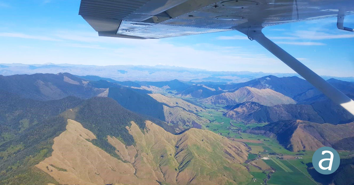
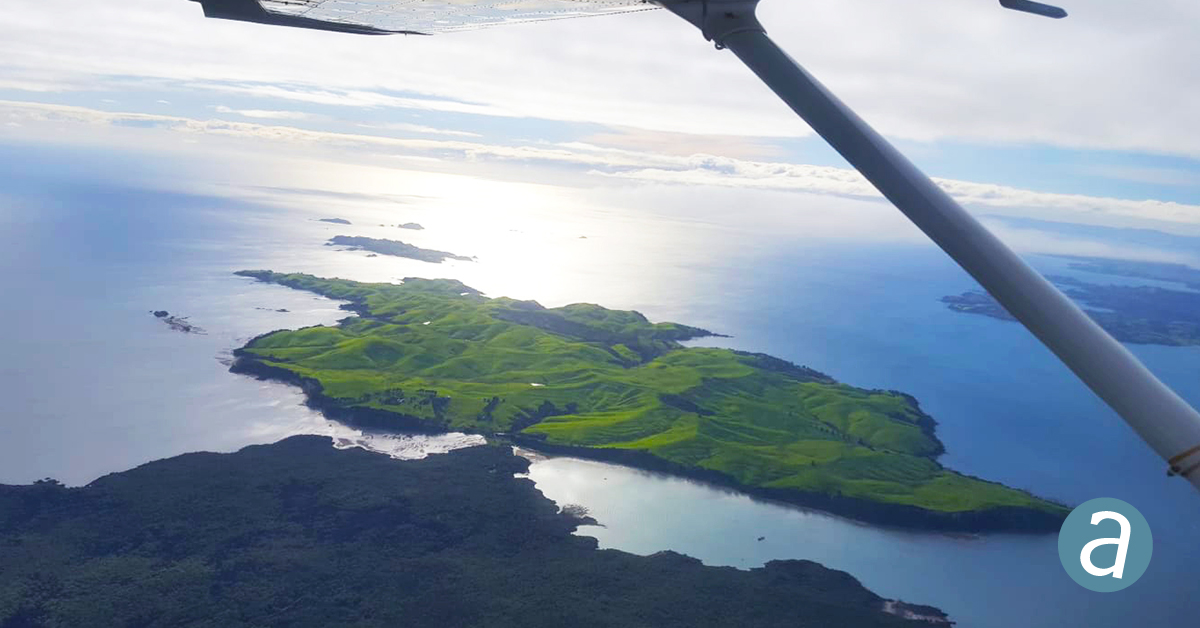
A coalition of data providers and land use experts was led by Lynker, with imagery processed over 7,400 sites by Gordon Morris, an independent geospatial specialist. The high-quality data were captured by UAV Mapping NZ Ltd. using a non-parametric camera mounted on a Cessna 172 airplane.
 “By applying a targeted low frequency filter over the luminance of the image, we remove large scale light and dark variations such as those caused by cloud shadow,” said Matt Lythe, Managing Director of Lynker Analytics. “This gives an overall blended appearance, which further enhances mosaic color-balancing in Correlator3D and leads to seamless integration of new survey data into existing basemaps.”
“Correlator3D lets me generate the best imagery available,” said Gordon Morris, a long-time SimActive user. “The team at SimActive provides me the confidence to produce tasks, big or small, with a rapid turnaround”.
About Lynker Analytics Ltd.
Lynker Analytics is a New Zealand company with expertise in data infrastructure, machine learning and geospatial analytics. It has developed sophisticated tools to extract new knowledge and insights about the earth’s surface and build environment from satellite imagery, aerial photography, drones, Lidar and other types of data. Using neural networks and related AI techniques, Lynker Analytics can monitor and quantify change in the environment at local, city or national scales to support better decision making. For more information, visit www.lynker-analytics.com.
About SimActive
SimActive is the developer of Correlator3D™ software, a patented end-to-end photogrammetry solution for the generation of high-quality geospatial data from satellite and aerial imagery, including drones. Correlator3D™ performs aerial triangulation (AT) and produces dense digital surface models (DSM), digital terrain models (DTM), point clouds, orthomosaics, 3D models and vectorized 3D features. Powered by GPU technology and multi-core CPUs, Correlator3D™ ensures matchless processing speed to support rapid production of large datasets. SimActive has been selling Correlator3D™ to leading mapping firms and government organizations around the world, offering cutting-edge photogrammetry software backed by exceptional customer support. For more information, visit www.simactive.com.
