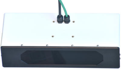
The AL-500AIR is optimized for airborne mapping applications at altitudes up to 200 meters AGL. At 1.3 Kg, 6 to 50 watts and less than 12 inches long it is easily mounted on small multicopters and other UAS. It is also available in configurations for industrial use and continuous process control in fixed installations, and for mobile land applications.
Signal strength and ambient light levels are acquired simultaneously with range data. Since the light level is captured point by point along with distance, no registration of the image is required and no mismatch occurs in dynamic scenes or mobile applications.
The PointWorks interactive configuration and visualization program also included with the scanner is built on the Acuity API. This interface lets a user define the field of view, point density, and other scan parameters on a Windows system connected via a 100Mb ethernet link. Default scan configurations demonstrate the capabilities of the AL-500AIR and allow users to start collecting useful data immediately. Point clouds may exported in multiple standard formats.
Acuity Technologies has been developing laser measurement and scanning systems for industrial and aerospace applications since 1993. Acuity is focused on producing simple yet flexible 3D data acquisition systems for field applications, industrial processes and autonomous vehicles.