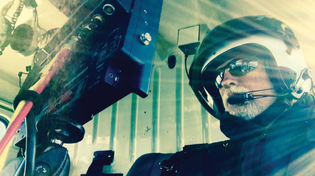
When GEO1 interviews potential team members, one of the first questions we ask is how the candidate discovered their passion for the geospatial sector. Ironically, I have never had to answer this question personally. Turning the tables and asking myself the same question, I found that the answer took some thought…
I started out as a cinematographer, filming from a helicopter with a gyrostabilized camera, documenting aerial shots for nature documentaries. I was lucky enough to see the world from 500 feet above as our team sought out natural wonders for our viewing audience. I filmed active volcanoes in Hawai’i and polar bears in the Arctic, and discovered ancient cave paintings in the jungles of Colombia. Much to my surprise, the first question most people asked when I shared the footage was, “Where were you?”—to which I rarely had a precise answer.
That essential question of “Where am I?” developed my interest in geospatial technology. Years ago, a descriptive sentence of the location was enough. Now, we want to narrow the answer down to one or two centimeters.
As my company pivoted from aerial cinema to aerial remote sensing, I looked at our sector from a fresh perspective. What were the differences, and what was similar? We have always been collecting data from a helicopter. Whether that data is pixels from an 8K camera or 2,000,000 laser pulses every second, the end result is a data set that needs to be processed, edited, and interpreted by a larger team. Managing and manipulating that data for the purposes of analytics is similar to the general workflow of editing video clips into a feature length film. Different skill sets may be needed, but the concept is the same.
We’ve filmed for National Geographic, BBC, and the Discovery Channel, flown over the glaciers of Patagonia and the jungles of Colombia, and camped in an unheated tent in the Arctic Circle. How are all these experiences related to the geospatial industry? The exploration is not new, but the technology is. Like Hawaiian voyager Nainoa Thompson, who sailed the Hōkūleʻa outrigger canoe from the Hawaiian Islands to Polynesia using ancient navigational techniques, we are explorers documenting the unknown. For those of us in the geospatial industry, we share the need to explore and to know where we are with centimeter-level precision.
In the coming years, exploration will take on considerable weight as we venture out into even greater unknowns, like SpaceX in their bid to “Occupy Mars”. My company was honored to film the first attempts by SpaceX to land a rocket on an autonomous ship. It takes years of precise engineering to build a rocket that revolutionary, and days of planning to film the eight seconds the rocket spends hurtling through the atmosphere towards either a safe landing or an untimely demise in the ocean.
Logistics and planning are absolutely critical for any enterprise. At GEO1, we’re prepared to deliver under any circumstance. This attention to detail comes from our aerial filming experience. An aerial shoot for a feature film might have hundreds of actors, expensive props, and a limited time window—you simply do not tell the director there’s a problem.
The days ahead will unfold as a test of how far our own innovation can truly take us. Those of us in airborne acquisition can provide the data behind eye-opening geospatial analyses of a pandemic’s impact. In addition, we have an important role supporting our communities with data and analysis to overcome racial, economic, and social injustices. As much as ‘Occupy Mars’ is an exciting goal, and exploring our connection with nature is always informative, our world has unprecedented challenges we need to confront. Let us come together to bring our strengths to the table. Let us reimagine the way geospatial data and analytics fit into the conversation and explore our collective future with a renewed intensity.
