HxGN Content Program now offers high-definition aerial data in the United States
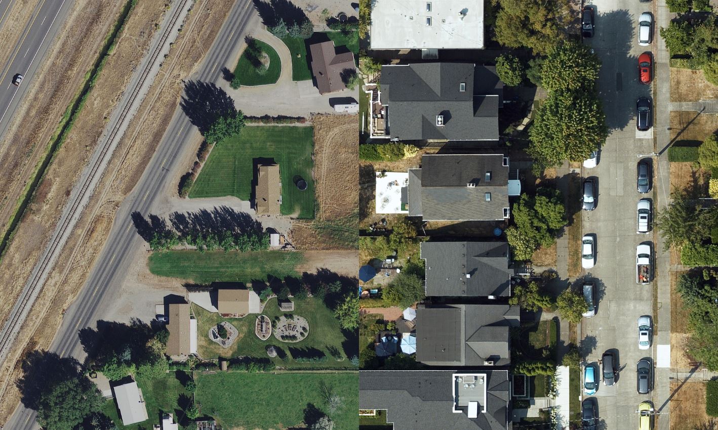
Washington, D.C., USA (24 September 2019) — Hexagon’s Geosystems division announced today the HxGN Content Program, the largest library of on-demand aerial imagery after five years of continuous aerial data collection across the United States, offers a new high-definition orthophoto layer of 15-centimetre- wide area and 5-cm urban area coverage.
The program moves from 30 cm to 15 cm resolution across the continental United States, and urban data collection will be enhanced from 15 cm to 5 cm resolution in cities larger than 50,000 population.
Since its inception in 2014, the HxGN Content Program has collected 8.3 million square miles (21.5 million square kilometres) of 1 foot (30 cm) resolution aerial data and 315,000 square miles (815,000 square kilometres) of 1/2 foot (15 cm) data in urban centers. Urban collection started in 2017. The program follows rigorous acquisition and processing standards to offer the highest positional accuracy for applications such as asset management, public safety, utility mapping and insurance claims. For consistency across the imagery, every state is captured in the same season allowing to leverage the data organization-wide.
“With this new higher resolution product we have addressed our customers top request as their needs have evolved,” says John Welter, president of Geospatial Content Solutions at Hexagon. “The new improved products will allow government departments, utilities and transportation networks to increase their productivity and lower the cost of custom data acquisition.”
The orthophotos are available as RGB and near-infrared imagery via streaming subscription or as a download, allowing consumers to use the data across multiple applications. Derivate data products such as digital surface models (DSM) are available upon request, and Hexagon will keep updating its offering based on consumer needs.
For more information or to see a demo, please visit https://hxgncontent.com/
About Hexagon
Hexagon is a global leader in sensor, software and autonomous technologies. We are putting data to work to boost efficiency, productivity, and quality across industrial, manufacturing, infrastructure, safety, and mobility applications. Our technologies are shaping urban and production ecosystems to become increasingly connected and autonomous – ensuring a scalable, sustainable future. Hexagon’s Geosystems division provides a comprehensive portfolio of digital solutions that capture, measure, and visualise the physical world and enable data-driven transformation across industry ecosystems. Hexagon (Nasdaq Stockholm: HEXA B) has approximately 20,000 employees in 50 countries and net sales of approximately 3.8bn EUR. Learn more at hexagon.com and follow us @HexagonAB.
