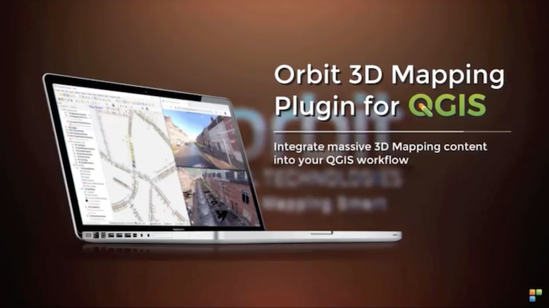
 Lokeren, Belgium, May 16th, 2019 – Orbit GT has launched version 19.5 for its full 3D Mapping portfolio, including a significant upgrade for the QGIS plugin.
“Regular updates of our portfolio bring new features and updates to our customers in the fastest possible way, “Says Peter Bonne, CEO of Orbit GT. “A special update to our QGIS integration is part of this release, of which I’m sure it will please many users. The 19.5 versions of 3D Mapping Cloud and our Desktop portfolio are now available for use.”
Version 19.5 includes the Introduction of Floors, Street=level planar imagery, updates for QGIS, ArcPro plugins, and various updates and fixes.
Join us in our booth, our Presentation on Wed 22nd 1:30 pm in the Discover track, or at our 3D Mapping Daytm on Fri 24th just near to the Conference Center”
Having issues with Mobile Mapping ? Want to improve your workflow ? Then join us on our 3D Mapping Daytm on Fri 24th for a full day of free training, a few case stories and reality capture techniques.
Register here for free training now. (http://orbitgt.com.pages.services/3d-mapping-day/ )
About Orbit GeoSpatial Technologies
Orbit Geospatial Technologies is world leader in solutions for exploiting 3D Mapping content in managing, viewing, extracting, publishing, sharing and embedding in workflows, either desktop or cloud based. Orbit GT specializes in 3D Mapping solutions for Mobile Mapping, UAS Mapping, Indoor Mapping and Aerial Oblique Mapping, replacing the big data dilemma with ease of use. Orbit GT is headquartered in Lokeren, Belgium, and enjoys a global business network. As we experience many of Orbit GT customers are using several techniques of reality capture, such as Mobile Mapping, Terrestrial scanning, Aerial Oblique and UAS Mapping, we worked towards an integration of our portfolio to offer a single product line covering the needs for each of these domains. This native integration is a sure win for every customer and user.
