 Lokeren, Belgium, November 26th, 2018 – Orbit GT releases version 19.0 of it’s 3D Mapping desktop portfolio.
“I’m happy to announce that version 19.0 is now available for download”, says Peter Bonne, CEO of Orbit GT. “Our customers can now immediately take advantage of new features and updates. This release includes all 3D Mapping products and offer a wide range of new and improved functionalities.”
3DM Feature Extraction portfolio contains a Basic, Standard and Pro version, each offering new features and enhancements to existing tools. 3DM Content Manager and the free Upload tool also got a great update.
Main new features are :
- Automated Ground Control Point detection
- Automated multi-ridge detection
- Automated Bridge clearance
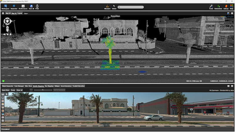
- Automated Tree inventorisation
- Slope measurements
- Linear Referencing
- Additional measurement techniques
- Various improvements and fixes
All updates are available today :
https://orbitgt.com/3dm-feature-extraction/#download
https://orbitgt.com/3dm-content-manager/#download
About Orbit GeoSpatial Technologies
Orbit GT is synonymous to Smart 3D Mapping, for Mobile Mapping, UAS Mapping, Indoor Mapping, Aerial Oblique Mapping, and Terrestrial scanning, replacing the big data dilemma with ease of use. Orbit GT is world leader in solutions and expertise for use of 3D Mapping content in managing, viewing, extracting, operating, publishing, sharing and embedding solutions in in workflows, either desktop, on premise and cloud based. Orbit GT is headquartered in Lokeren, Belgium, and enjoys a global business network. Reality Capture is fast moving to an integrated experience, fusing massive data from various collection techniques such as Mobile Mapping, UAS Mapping, Aerial LiDAR and Oblique Mapping, Indoor and Terrestrial scanning. Orbit GT provides native and real-time fusion, optimized storage and maximum performance on its desktop and online portfolio.
