 Chicago, Ill. — uGRIDD Corporation is announcing new free features for its easy to use data to map publishing service. Users of uGRIDD.com can now search and edit within their public data sets, including using third-party systems, enabling them to use their data to make better decisions. Additionally, instead of just creating web data pages by publishing one data set at a time, these new features, using the company’s uSHOW option, allow for combining multiple data sets into one map displayed as different layers, and allows for easy toggling between each layer.
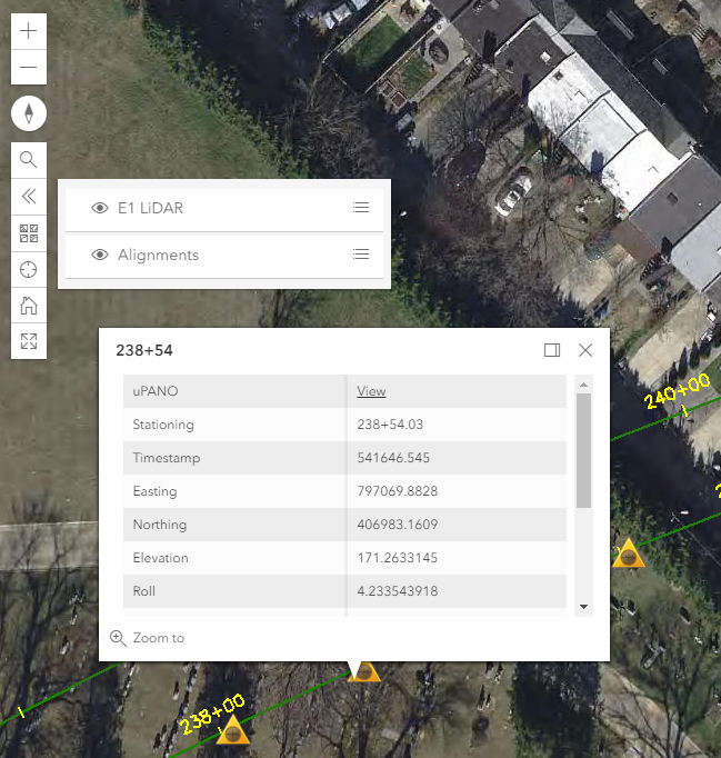
By combining uSHOW pages, publishers have unlimited options for what they can create on the uGRIDD platform. For example, users can show control points as a CAD drawing for sewer pipelines, drainage systems, outflows, utility holes, or any asset in one map so they can quickly view their interactions. Users easily create an individual map for each layer and then combine all the maps into one.
A legend, layer list and search bar are incorporated into the uSHOW multiple layer map. The uGRIDD platform will automatically create a legend to guide the user so they can understand how the new map combines data layers. While all data will be available in a single URL, users will also have the power to toggle specific layers on and off using the interactive layer list.
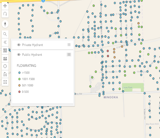 Most importantly, these new features include a search or filter function that allows the user to query for specific attributes of their choosing.
Finally, this significant improvement to uSHOW includes a new integration between data published on the uGRIDD platform and third-party applications. This application programming interface (API) allows users to continue to utilize their existing GIS systems to load, view, and edit their data.
Zhong Chen, President of uGRIDD, says, “We are excited to allow our customers to make better decisions using their data by offering them new ways to visualize all of their data together, as well as to search or filter for the data they are most interested in at any specific time.” uGRIDD UNLOCKS THE POWER OF YOUR INFRASTRUCTURE BIG DATA by providing the best value to COLLECT, SHARE, INTEGRATE and MANAGE through georeferencing.
For more details, please visit https://www.ugridd.com/site/products/uSHOW/ or email support@ugridd.com to unlock these features on your uGRIDD account.
