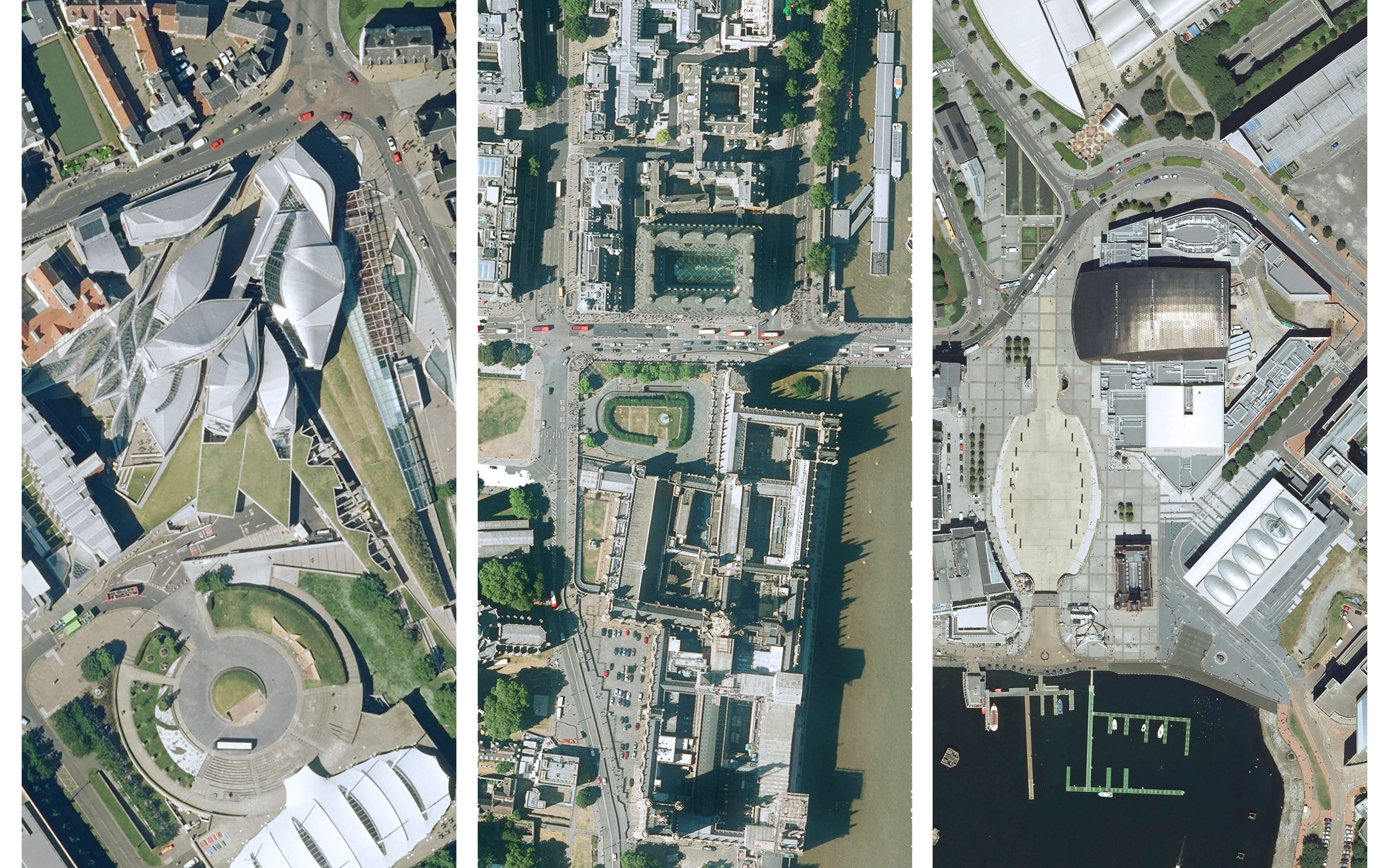
Three government headquarters – Scotland (Edinburgh), UK (London) and Wales (Cardiff).
Leicestershire, 18 September 2018 – Aerial mapping companies Bluesky and Getmapping are pleased to announce that, working with UK, Welsh, and Scottish governments, they have entered into an agreement for the next two years which makes their data available free-at-the-point-of-use to public sector bodies in England, Scotland and Wales.
In a first for Great Britain, the latest and most detailed aerial photography, together with 3D height models and Colour Infrared imagery, is now available to more than 4500 public sector organisations. The Aerial Photography for Great Britain (APGB) contract will support the government’s recently announced Geospatial Commission, which aims to help capture, coordinate and harness the economic value of data linked to location.
“The government has shown an understanding of the importance of geospatial data, not only for public sector services but also for the wider economy,” added Rachel Tidmarsh, Managing Director, Bluesky. “Agreements such as the APGB contract, together with the newly created Geospatial Commission, will drive the effective use of data: unlocking billions of pounds of extra value for the economy each year.”
Dave Horner, Managing Director, Getmapping added, “We are delighted to be continuing to work with Government to ensure all public sector organisations have access the most up to date and accurate geospatial data available to support them in the delivery of effective and efficient public services.”
Under this contract the data – 12.5 and 25 centimetre resolution aerial photography, 5 metre Digital Terrain and 2 metre Digital Surface Models (DTM/DSM) and 50 centimetre Colour Infrared imagery, is now available free-at-the-point-of-use, to Local and Central Government, Health bodies, emergency services organisations, Parish Councils and other government funded services across England and Wales. (Additional charges may be incurred for users in Scotland.)
Eligible organisations, once registered, can download data from a newly created online mapping portal – https://apgb.blueskymapshop.com, or receive the data via a secure Web Mapping Service (WMS) feed or delivery on storage media such as hard drive or memory stick.
About Bluesky
Bluesky is a specialist in aerial survey including aerial photography, LiDAR and thermal data, using the very latest survey technology, including two UltraCam Eagles and a Teledyne Optech Galaxy LiDAR system integrated with a PhaseOne camera and thermal sensor. An internationally recognised leader with projects extending around the globe, Bluesky is proud to work with prestigious organisations such as Google, the BBC and Government Agencies. Bluesky has unrivalled expertise in the creation of seamless, digital aerial photography and maintains national “off the shelf” coverage of aerial photography, DTM and DSM through an ongoing three-year update programme. By purchasing a world first sensor for the simultaneous capture of LiDAR, Thermal and Aerial Photography data, Bluesky is in the enviable position of being able to provide customers with unique and cost effective solutions. Bluesky is leading the way in developing innovative solutions for environmental applications, including the UK’s first National Tree Map (NTM), solar mapping and citywide ‘heat loss’ maps and is currently developing noise and air quality mapping products. www.bluesky-world.com
About Getmapping
Getmapping Plc is a leading provider of aerial photography, mobile mapping, LiDAR, digital mapping and web based services across Europe and Africa. Getmapping has offices in Hartley Wintney, UK, Cape Town and Centurion in South Africa, and Nairobi, Kenya. Founded in 1999 Getmapping pioneered the concept of nationwide coverage of aerial photography creating the most comprehensive and detailed aerial photographic survey of the UK. Today Getmapping produces its own vertical aerial photography, oblique photography, point-cloud and height data derived from aerial and mobile mapping survey programmes. Getmapping also provide a wide range of value-added mapping services tailored to specific client needs including data hosting and online data delivery. Getmapping services a wide variety of markets including local authorities and central government, property and construction, mining, environmental consultants, press and media, as well as providing planning services to the general public. www.getmapping.com
