 Seefeld Germany, Sunshine Coast Australia, 13 August 2018 Today, EOMAP has launched the world’s first commercial online store for global shallow-water bathymetry derived from satellite data. The EOStore Bathymetry provides rapid access to search for and request high quality data.
Satellite Derived Bathymetry (SDB) is now established as a valuable tool for the surveying, planning and management of coastal and offshore sites. Unlike other survey methods, SDB can provide shallow-water bathymetric data worldwide without the need for a physical presence in the area of interest. Thus, SDB offers a rapid and cost-attractive solution for the coastal, offshore and survey industries.
“The EOStore Bathymetry allows every coastal engineer, modeller or surveyor to rapidly access up-to-date shallow water bathymetric data. It enables you to get the bathymetry data you need – even data you could otherwise not get -, so you can plan and execute projects accurately, effectively lowering the project risk level,” said Knut Hartmann, COO EOMAP
EOMAP has developed the bathymetry store in response to feedback from industry. “The demand for bathymetry data in shallow waters is increasing significantly,” he said. “What industry told us at our first conference on Satellite Derived Bathymetry, in June 2018, was that they needed to understand the global feasibility of SDB methods and ways to search for and request the data. Thus, we’ve created the EOStore Bathymetry which allows users to get worldwide shallow-water bathymetry data quickly and easily at a fraction of the price of traditional surveys.”
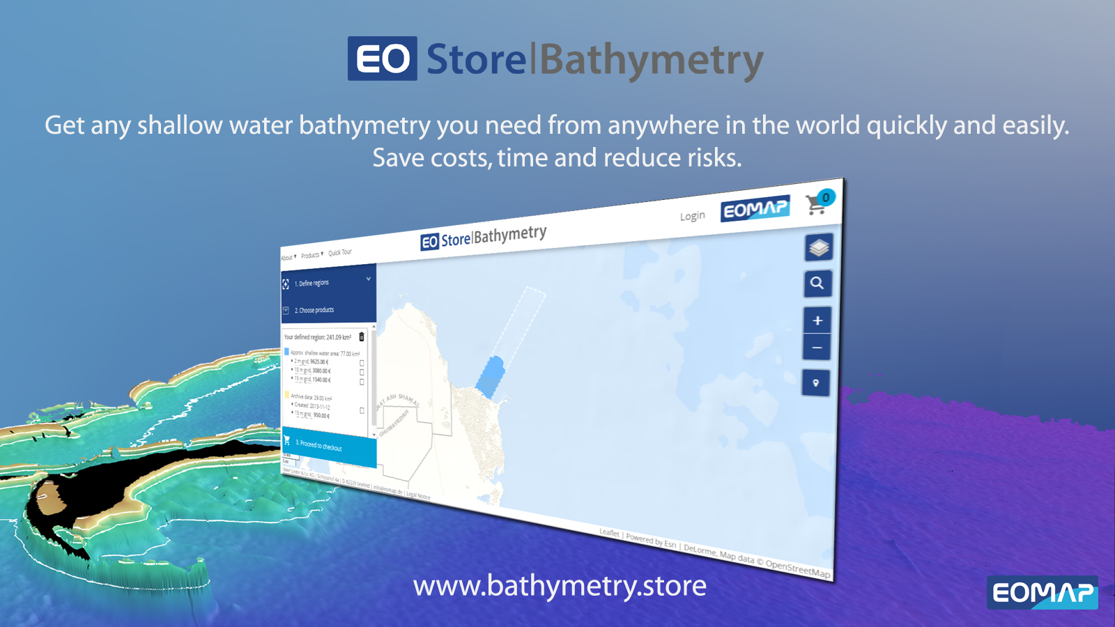
EOStore Bathymetry offers different horizontal spatial resolutions of the bathymetric grid of 2m to 15m. This makes it flexible and fit for purpose for surveying, as well as for but also for planning and modelling purposes.
For more information, please visit www.bathymetry.store.
HR Video File can be downloaded here in mp4 format (link) or WMV (link) format.
About EOMAP
EOMAP is the leading global service provider of satellite-derived aquatic information for the coastal and offshore industry and government clients. EOMAP services enable users to plan and execute their work accurately and reliably, with significant savings in cost and time compared to on-site survey and data collection methods. Hydrographic offices and leading survey and engineering companies use EOMAP data because it relies on the best the most proven and validated technology worldwide. EOMAP was founded in 2006 with headquarters in Seefeld, Germany. An office in Australia was established in 2016.
