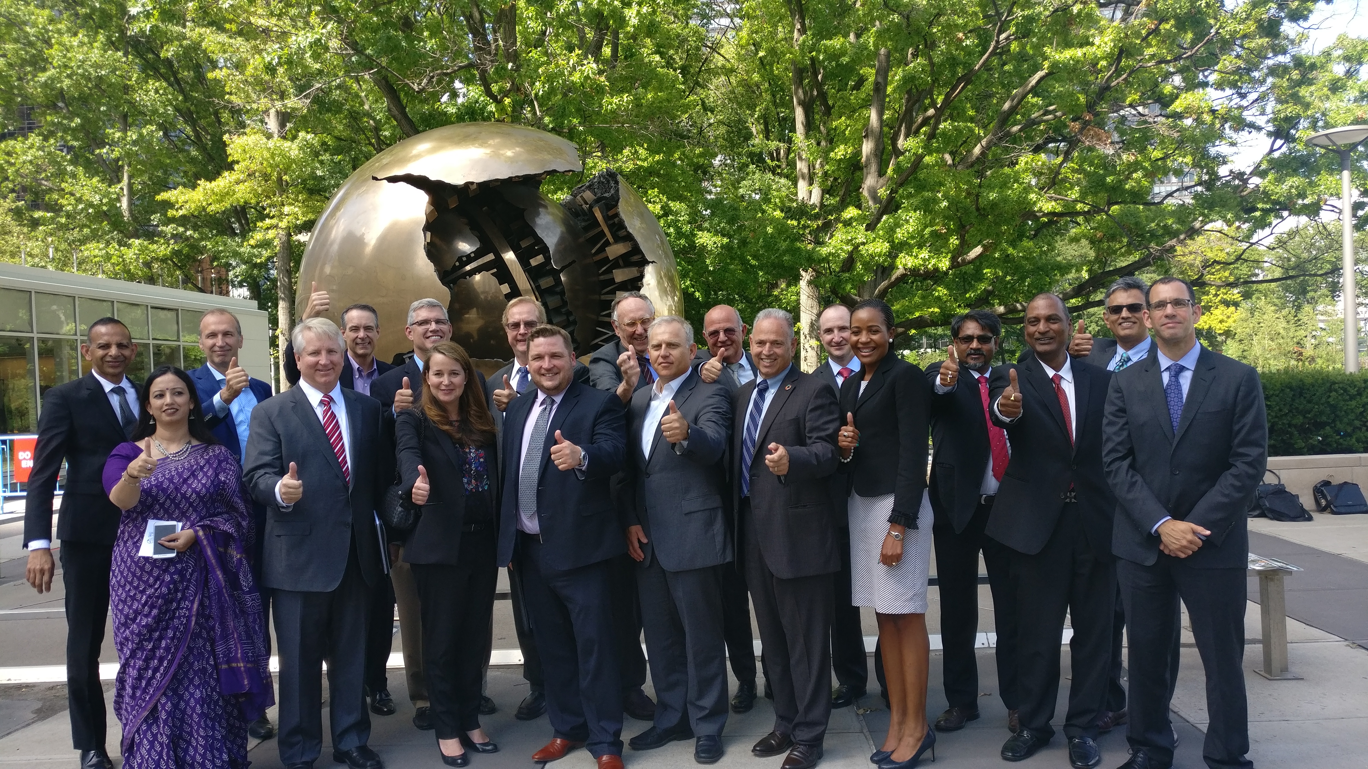
Geospatial Industry Leadears at the UN Headquarters in New York, after the announcement of launch of the WGIC. From Left: Willy Govender (Data World), Annu Negi (Geospatial Media), Arnout Desmet (TomTom), James Van Rens (Riegl), Kennneth Mooyman (Hexagon), Stephen McCarthy (GroundTruth), Amy Minnick (DigitalGlobe), Steven Hagan (Oracle), Steven Sawdon (IIC Technologies), Jack Dangermond (Esri), Theo Agelopolous (Autodesk), Alain De Taeye (TomTom), Dean Angelides (Esri), Daniel Jablonsky (DigitalGlobe), Valrie Grant (GeoTechVision), Sanjay Kumar (Geospatial Media), Rajesh Alla (IIC Technologies), Rajan Aiyer (AGI), and Ron Bisio (Trimble)
Amsterdam: In a landmark development, geospatial industry leaders from across the world came together to announce the formation of the World Geospatial Industry Council (WGIC). The announcement was made on August 1, 2018 at the 8th session of the UN-GGIM (United Nations Global Geospatial Information Management ) held in New York, by Jack Dangermond, Chairman of WGIC and Founder and President, Esri.
WGIC is co-founded by a group of 21 companies, namely AAM Group, AGI India, Autodesk, Bentley Systems, Cyient, Data World, DigitalGlobe (a Maxar Technologies company), e-GEOS, Esri, FARO, Geospatial Media, GeoTech Vision, Ground Truth, Hexagon, IIC Technologies, Oracle, Riegl, Rolta Group, Trimble, To mTo m, and Topcon to begin with and its membership is open to commercial companies and representative trade bodies.
WGIC, as it intends to be known in short, aspires to be a collaborative platform for advancing the role of the geospatial industry and strengthening its contribution in the world economy and society. WGIC endeavors to facilitate the exchange of knowledge within the geospatial industry and co-create larger business opportunities for the geospatial industry. Further, with policy restraints limiting private sector participation and commercialization, WGIC also seeks to raise awareness among policymakers and advocate for better environment and investments in the geospatial sector.
![]() The enthusiasm and energy was visible at the first formal meeting of the WGIC on the sidelines of the UNGGIM session in New York City on July 31, 2018, when representatives of the co-founding companies had lively discussions on geospatial industry trends and directions which were fundamental to determining the objectives and key activities for WGIC.
The enthusiasm and energy was visible at the first formal meeting of the WGIC on the sidelines of the UNGGIM session in New York City on July 31, 2018, when representatives of the co-founding companies had lively discussions on geospatial industry trends and directions which were fundamental to determining the objectives and key activities for WGIC.
The first office bearers of WGIC Patrons and Executive Board were also elected at the meeting. They are:
PATRONS
Chairman: Jack Dangermond, Founder & President, Esri
Vice Chairman: Alain De Taeye, Member of the Management Board, TomTom
EXECUTIVE BOARD
President: Amy Minnick, Senior Vice President and General Manager (Commercial and Civil Government), DigitalGlobe, a Maxar Technologies company
Secretary General & CEO: Sanjay Kumar, CEO, Geospatial Media and Communications
Treasurer: Stephen McCarthy, Chief Financial Officer, GroundTruth
COMMITTEE CHAIRS
Policy Development & Advocacy: Ronald Bisio, Vice President, Trimble
Partnership & Industry Engagement: Valrie Grant, Founder & Managing Director, GeoTechVision
Finance & Administration: John Renard, President – Utilities and Geospatial BU Cyient
Marketing & Communications: Theo Agelopolous, Director – Infrastructure Strategy & Marketing, Autodesk.
WGIC Chairman Jack Dangermond said, “With WGIC we have the vision to create a new institution that brings together participants from around the world in the geospatial industry. This will allow new kinds of partnerships to emerge, enabling companies to help each other, and also allow the geospatial industry to collectively work with big global initiatives such as World Bank and the UN.
This will also enable our industry as a whole to have a collective opinion on emerging policies such as those on privacy or geospatial data restriction. I firmly believe that by joining together and exploring collaborative efforts we can make meaningful progress.”
Alain De Taeye, Vice Chairman, said, “Progress in society is becoming more and more data driven and technology enabled. Geospatial content and technologies increasingly play a foundational role in the innovations that make sure we have a better life across the globe. Therefore, WGIC has been
established to bring together the geospatial industry in order to improve the level of collaboration with all stakeholders, make clear to governments and policymakers that geospatial technologies can enable progress and help address some of the most critical problems the world is facing.”
Stefan Schweinfest, Director, United Nations Statistics Division, said: “The World Geospatial Industry Council is a cooperation between leading private sector companies and we are very honored that they chose the United Nations to launch this important initiative. This new and improved cooperation between the industry leadership will also help them to focus and improve their contribution to the United Nations Sustainable Development Agenda.”
Greg Scott, Inter-Regional Advisor, UN-GGIM Secretariat, said: “The World Geospatial Industry Council was launched at the Inter-Governmental Meeting of the UNGGIM. The relationship between data and technology, and industries and governments is increasingly getting important. This is why we also believe that having the WGIC affiliated with the work that we do is just as important.”
WGIC President Amy Minnick said, “I see WGIC as an opportunity to grow our industry, to raise the profile of geospatial data and solutions, and to make a positive difference in the world by working together across the public and private sectors. With this initiative, we hope to bring the industry together to have a holistic understanding about what is happening in the markets and regulatory environments around the world, so we can speak in a collective voice to enable commercial innovation to continue at a rapid pace.”
Sanjay Kumar, Secretary General and CEO of WGIC, said, “With geospatial industry valued at around $300 billion in 2017, its economic impact is estimated to be seven times. Today, the value of ‘where’ is fueling innovation and entrepreneurialism as the convergence with emerging technologies is enabling geospatial capabilities for diverse applications. Given the rapid change, we felt there was a strong need for collaboration within the industry to help realize the true potential of this technology.”
DIRECTIVES AND ACTION PLANS
- WGIC will share and represent the perspectives and opinions of the geospatial industry and support the policy development processes with governments and multilateral agencies.
- Find technology collaboration and convergence in solution-centric business processes.
- Build working relationships with national and multilateral agencies and undertake joint programs.
- Create opportunities for convergence and partnership with mainstream IT and engineering technology players.
- Push for business development through pro-active engagement with user industries, trade bodies, associations and professional forums.
For more information: Visit www.wgicouncil.org
