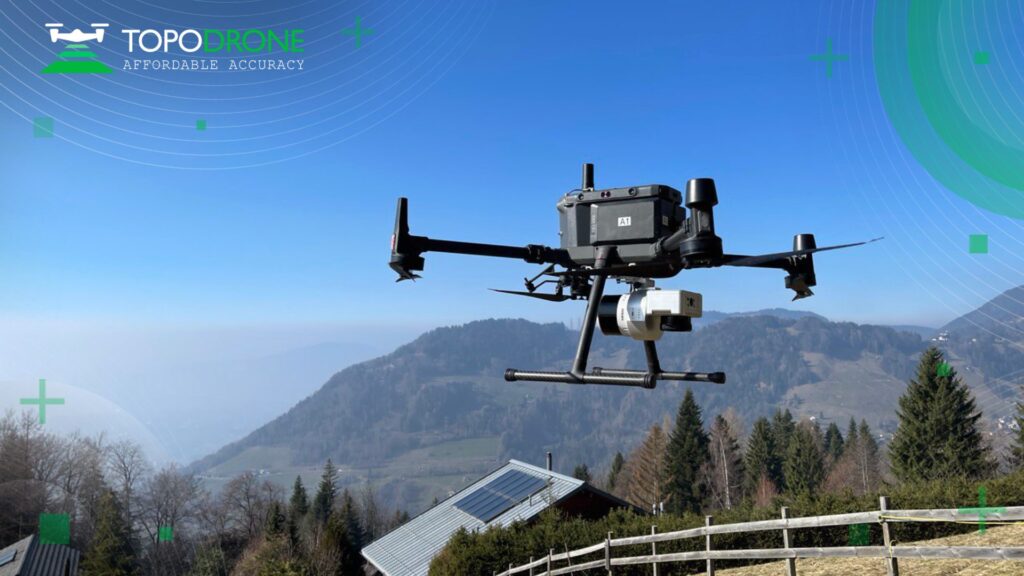
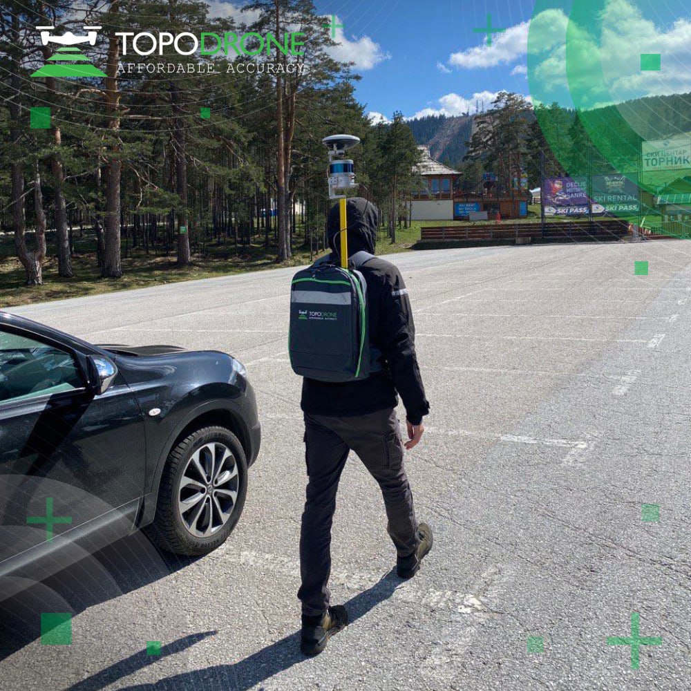
Alexander Lopukhov is co-founder of TOPODRONE, a Swiss firm at the leading edge of cost-efficient lidar and mobile lidar solutions. A notable example of the firm’s innovation is the lidar TOPODRONE 200+, a lidar with additional functionality for mobile scanning with the car, on the backpack, with UAV – 3 in 1.
In this installment of Rapid Fire, I caught up with Alexander to discuss the founding of TOPODRONE and the geospatial firm’s current initiatives.
AS: Thanks for taking time to speak with me. How did TOPODRONE get started?
AL: About six years ago my partner, a professional geodesist, started to use a UAV drone in his business, and after several attempts, he recognized that drone technology was not so advanced at the time – it seemed to both of us that it was a good challenge to move forward and make improvements. So, we organized a team and developed our first product, a PPK (post-processing kinematic) kit for standard drones, including industrial, that transformed a simple drone into a very precise geodetic unit. It was a successful launch, and we grew from there. Thus, we organized a business here in Switzerland because we were able to get a lot of support from local administrations and here the drone direction was most valuable and advanced at that time. Of course, working in this direction, we discovered we had to expand our business. We stepped more into photogrammetry and started to upgrade existing products in the market and produce our own cameras. During the covid-19 pandemic, we created and produced our own lidar units.
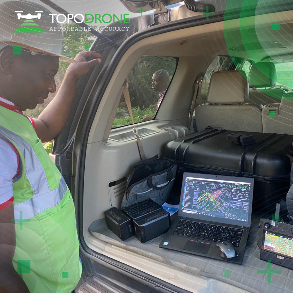
As of today, we can work with lidar, we can work with the RGB-cameras, multispectral cameras, RGB-thermal-multispectral cameras, bathymetry solutions, PPK upgrade kits, in-house lidar etc. – we have a complete suite of geodetic solutions for surveyors. And we also offer TOPODRONE Post-Processing software that allows a surveyor to process collected data right in the field.
How did TOPODRONE differentiate itself in a mature UAV market? And how did you enter the lidar market?
Well, our mission is to provide affordable and reliable solutions for surveyors all over the world. We develop easy to use hardware and software without unnecessary complicated features – our R&D team works closely with clients to advance products based on their feedback to simplify things, improve flight mission time and decrease post-processing time.
Along with, the market for lidar was already complete by 2020. We analyzed what was done for that very moment and started to invest in R&D and production of our lidar. Not from an IT point of view like many of our competitors did and continue to do. We created our products according to the challenges of the field work, how a real surveyor could use it in the field. And believe me, it’s a completely different philosophy.
In actual surveyor field work, you don’t want to press some button two or three times — you want to just switch on power and your equipment starts to work. So, we implemented this approach. And when our potential customers started to use our lidar for beta tests, they were satisfied with the affordable accuracy our solutions offer and they accepted our philosophy of simplicity. Now we have a community of thousands of users globally who experiment and grow together with us advancing their portfolios and applying the newest surveying technologies.
I am sure it could be really difficult to switch our clients from our product to competing products, because we not only provide a hardware part, we provide an end-to-end workflow. If customers use our solutions, they’re covered from the start of the products to the deliverables.
During Geo Week 2024, I explained how a surveyor could become 20 -30% more efficient with our equipment.
It seems TOPODRONE has a reputation for producing flexible and versatile equipment.
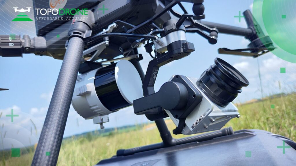
Well, you can use our products in different ways. For example, you can attach our lidar to a UAV. It may be a drone, it may be a VTOL, or a helicopter, it doesn’t matter. You can also use the same lidar with a car for mobile scanning. You can install it on a backpack and do surveying beneath the trees. You can use the same lidar in all these situations.
Typically, you must buy a special lidar for each type of scanning. So, with TOPODRONE the total cost of ownership is significantly less because you use the same product, for example, LIDAR 200+ in many situations.
And this is true for our cameras as well. Our camera, like P61, is very good in terms of delivering data in megapixels. And you can swap lenses and convert it to an RGB-camera. We partnered with a lens producing company and added additional functionality to our cameras. You may replace an RGB lens and convert an RGB camera to a multispectral camera. And that’s it — you don’t need to buy a separate camera.
Since TOPODRONE is a relatively new geospatial firm, I take it you feel that high standards are necessary?
We must be better in all directions. For example, in terms of weight. It’s a significant parameter, because with less weight of hardware your drone can fly longer. And this is true of all our equipment, and data quality, workflow, processing and post-processing, deliverables — everything. Because our end users don’t want ‘bright and shiny’ products — in real field work they need to use our solutions all day long and get significant results at a lower cost. And we’ve demonstrated that.
How do your support customers that find applications that TOPODRONE developers didn’t anticipate?
Sometimes clients demonstrate to us how they may implement our solution in an unexpected way, and it works. For example, one of the most unexpected applications turned out to be the monitoring of a floating solar farm. Last year we surprisingly observed an increased demand for our solutions for dam management. We believe this is proof indeed that our approach is correct.
Another example is that when clients started to work with our equipment—any of our products —they find that they have the same software and post-processing approach for all of them, whether it’s lidar, cameras, bathymetry or anything else. It means that they can cover a mixed terrain, and the data can be processed together and combined. It’s an easy end-to-end combo solution without any holes in the process.
For me, it’s much better when you can use something unexpectedly, because it’s well designed and brilliant, it works.
Another good example of TOPODRONE innovation happened when a partner asked for help with a vertical takeoff and landing (VTOL) drone.
One of our partners asked us to make an integration of our cameras and lidars with their VTOL. This company produces VTOLs, really very good VTOLs, better than many competitors on the market. So, we were able to integrate our lidar sensors and cameras in two days—that’s the build and test flights and bad weather testing, everything! And we achieved fantastic results. It’s important, you know, because VTOL drones have a longer flight time in comparison to an ordinary UAV drone, so a surveyor using VTOL can cover a larger area.
But a real challenge for us came when this partner asked us to install an oblique camera into this VTOL – his end user required that functionality. It took us a short time for analysis and in a couple of hours we did an integration. And right now, this oblique camera works in the client’s hands. What happened next, the producer of these oblique cameras connected with us and asked to work with them to integrate our PPK solution with their products into UAV drones. The reason for that is simple – many clients would like to use post-processing kinematics in terms of mountains, different areas, and we can support this with PPK kits.
For me, it’s a significant project. Why? First, we successfully finished this project and got client satisfaction. Secondly, from my internal professional point of view, it took only a short time to integrate everything together. And we proved to ourselves that we can reach these heights. We did it so easily that even the oblique camera producer, a real vendor for this solution, found us and asked for help.
How would you describe the competitive landscape, from your perspective?
There are no competitors. There are only potential partners, but who couldn’t reach an agreement.
So, we don’t split the world into black and white. We don’t view everyone else as competitors that we must fight. Nope. First, we work in different fields or different sectors. And some of our competitors from one sector do not present at all in another sector. For us that’s a competitive advantage.
The second thing is if one of our competitors develops a good idea or functionality, then what’s the issue? It’s good for the industry, and for us it’s a challenge that we must analyze and hopefully improve our approach. Not by being copycats, but by learning and improving. And as I said, when we created our own lidar, even in a crowded market, our solution had and will continue to have significant advantages.
Any final thoughts for the readers of LIDAR Magazine?
Dear readers, don’t be afraid to move forward from your current position. Try to use something innovative and do new things. Break the barriers and start to work with innovative things. It’s very easy. You might just speak with someone about this, take a step forward and become a master of the universe. For me this sounded like a fairy tale, but then I did it and now I recognize that it’s true.
If you don’t try to take a step forward, you will neither be a leader, nor as successful as you would like to be. So, my recommendation to your readers is to significantly improve your daily routine and you will achieve new heights.
Angus Stocking is a former licensed land surveyor who has been writing about infrastructure since 2002. He is also the host and producer of Everything is Somewhere, a podcast dedicated to topics of interest to land surveyors and other geospatial professionals.